Crewed Itinerary · Alaska

Alaska Itinerary: Inside Passage and Glacier Bay in 7 Nights

This is the flagship Alaska week — a seven-night crewed motor-yacht charter that starts in Juneau, runs north into Glacier Bay National Park on a permitted day, takes Tracy Arm's South Sawyer face, and works the salmon-stream brown-bear stops and Steller sea lion haul-outs in between. About three hundred and twenty nautical miles end to end, mostly inside protected channels, no overnight passages. The mileage is what defines the trip: Alaska charters move between fjords rather than between villages, and the yacht's range determines what the week can cover.

Most groups booking this route are repeat charterers who have done the Caribbean and the Mediterranean and want a week that runs at a different speed. The Glacier Bay permit is the gating constraint — the park caps private yachts at twenty-five a day from June through August, and the captain books the entry a year ahead. June through mid-August is the strongest window for daylight, water temperatures, and the wildlife calendar. The fleet is power-only: eight motor yachts work the cruising ground from mid-May through mid-September, all built for cold-water cruising, all with the range to push from Juneau to Glacier Bay and back inside a week.

Duration
7 nights · flexible embark day
Base
Juneau (round-trip)
Plan your Alaska charter Custom-tailored to your dates and group preferences
A guest on the bow, arms out, in front of blue glacial ice with fog-draped mountains behind.
A Pacific white-sided dolphin leaping clear of the water behind the running tender.
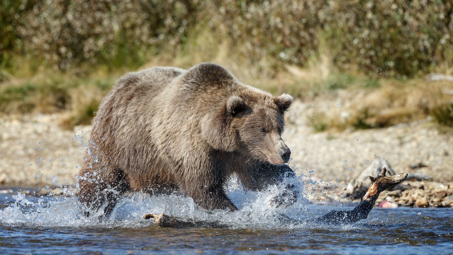
A brown bear mid-splash chasing a salmon through a shallow stream.
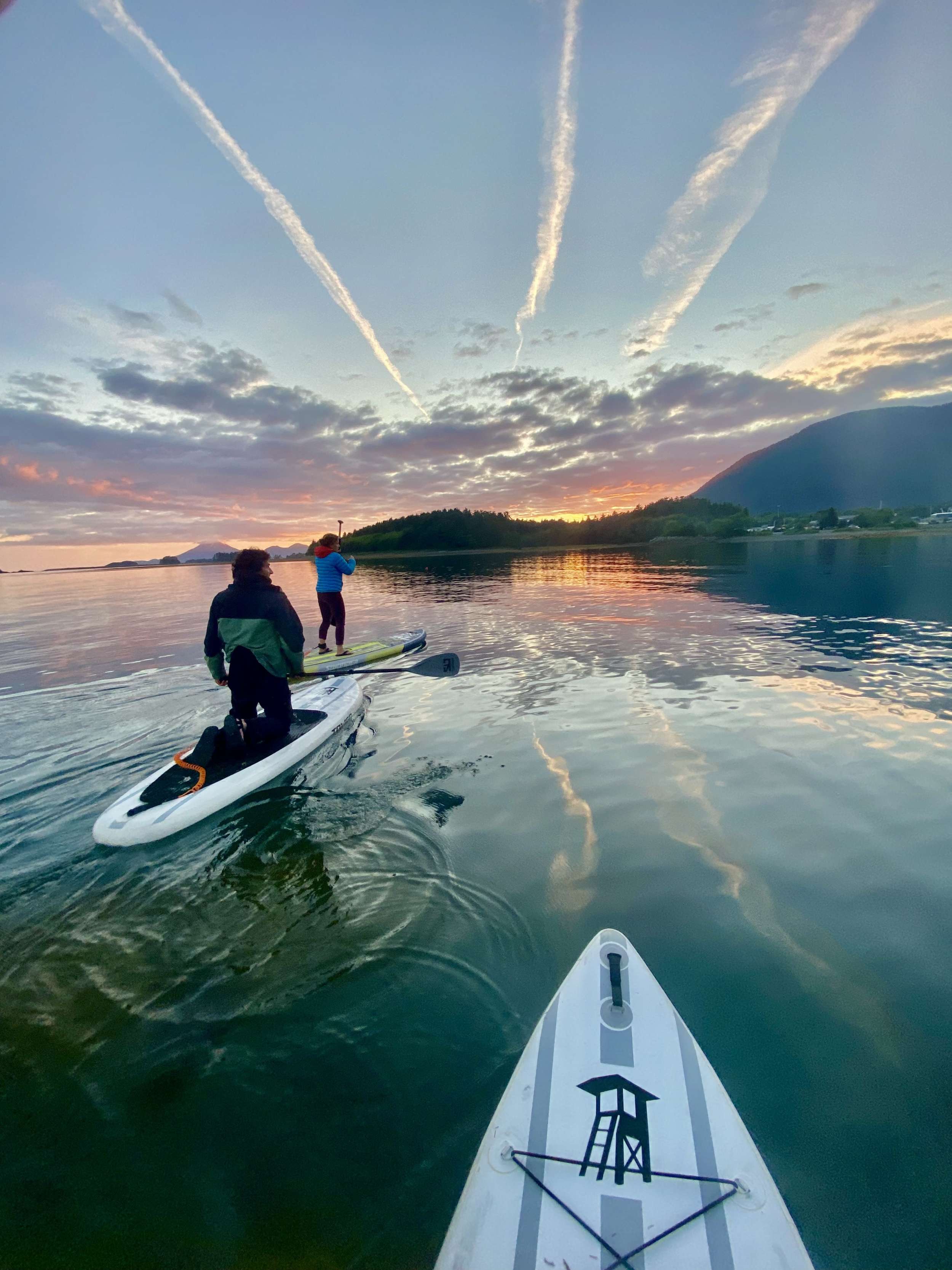
Two paddleboarders on calm water at sunset, a distant volcanic peak on the horizon.

Why this is the marquee Alaska charter week

This is the Inside Passage with a Glacier Bay permit attached — Juneau, Funter Bay, Pavlof Harbor for the bears, Tracy Arm for the tidewater face at South Sawyer, the full Glacier Bay rotation on a permitted day, Reid Inlet for the overnight inside the park, and the wildlife pass at South Marble Island on the return. Roughly three hundred and twenty nautical miles over seven nights, with the longer days running thirty to seventy nautical miles and the shorter ones inside one fjord system.

It is the right first Alaska charter for guests who want the marquee stops in one week — glacier face, humpback channel, brown bears, the park itself. If the brief is wildlife-heavy and the dates fall in late May through mid-July, the Frederick Sound and Humpback Wildlife route trades the Glacier Bay permit for bubble-net feeding density. If the brief leans toward southern Alaska with a smaller draft and less park-day rigidity, the Misty Fjords route runs from Ketchikan. The captain shapes the day-by-day around the permit date and the weather; the structure below is the standard frame.

1

Day 1 of 7 · Juneau → Funter Bay

Embark in Juneau and run northwest into Admiralty
Anchorage: Funter Bay (Admiralty Island)
Guests on a driftwood log at sunset — the quiet, protected-cove evening this route's first night settles into.

The charter begins in Juneau, the state capital and the only US state capital not reachable by road. Crew meet the group at the marina — most yachts work out of Aurora Harbor or Statter Harbor at Auke Bay, fifteen minutes north of downtown — with hot drinks and the chart briefing once luggage is aboard. Provisions for the week are squared away in advance; the chef walks through the food brief and any guest allergies before lines come off.

The opening leg is short by design. Lines off mid-afternoon for a thirty-nautical-mile northwest run across Stephens Passage and around the north end of Admiralty Island into Funter Bay. Stephens Passage is one of the most reliable humpback corridors in southeast Alaska — a transit-day sighting of a feeding humpback or a passing pod is common in June and July. The yacht runs at twelve knots; the channels are deep enough that the route doesn't require chart navigation in the day's strongest sense, but the captain stays on the bridge for the wildlife windows.

Funter Bay closes the first day with a protected anchorage on Admiralty Island's northwest shore. Admiralty itself holds one of the densest brown bear populations on Earth — the Tlingit name for it, Kootznoowoo, means 'fortress of the bears' — and the surrounding Tongass forest reaches straight to the waterline. Dinner aboard at anchor; the long northern twilight stretches past 11pm in mid-June, with civil light enough to read on the aft deck.

Day Highlights

  • Embarkation at Juneau (JNU) — Aurora Harbor or Statter Harbor / Auke Bay.
  • Thirty-nautical-mile opening run across Stephens Passage to Admiralty Island.
  • First humpback corridor on the route — Stephens Passage transit windows.
  • Protected first-night anchorage in Funter Bay; dinner aboard.
2

Day 2 of 7 · Bear-viewing day

Pavlof Harbor and the salmon run at the falls

Anchorage: Pavlof Harbor (Chichagof Island)
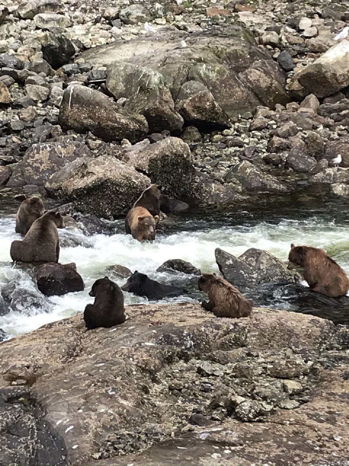
A brown bear mid-chase through a salmon stream — bear-viewing days on this route put wildlife right in the middle of the scramble, not just on a distant shoreline.
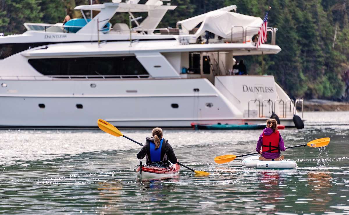
Kayakers paddle back toward the yacht through a dense stand of Tongass spruce running straight to the waterline — the forest-to-shoreline density that defines this stretch of the Inside Passage.

Morning at anchor in Funter Bay — breakfast on the aft deck, mist on the water, mountain goats sometimes visible high on the western ridge. Lines off mid-morning for the thirty-five-nautical-mile run northwest across Icy Strait and into Pavlof Harbor on the eastern shore of Chichagof Island. Icy Strait is one of the higher-density humpback channels in the region; the route stays slow through the strait, with the bridge watching for surface activity.

Pavlof Harbor is the marquee bear-viewing stop in northern southeast Alaska — a protected anchorage at the foot of a salmon stream that runs a quarter-mile inland to a set of low falls. From mid-July through August, the pink-salmon run stacks at the falls, and the brown bears come down to the river to feed. The yacht anchors in the harbor a few hundred meters off the stream mouth; the tender lands at the beach, and a short walk on the boardwalked Forest Service trail reaches the falls viewing area. Distance from the bears is maintained at the Forest Service-mandated minimum.

Bears, eagles, and sometimes wolves work the same waterway — Chichagof is one of the few places where the ABC Islands' brown bear population overlaps with active wolf packs. The captain reads the conditions before authorizing the shore landing; on quieter days the bears feed for hours within view of the platform. Back to the yacht for lunch, afternoon at anchor with paddleboards down for the protected upper harbor, dinner aboard. Overnight at anchor; the bay is sheltered on all sides.

Day Highlights

  • Thirty-five-nautical-mile run northwest across Icy Strait.
  • Anchored at Pavlof Harbor with the salmon stream a few hundred meters off the bow.
  • Forest Service trail to the falls viewing area; brown bear viewing at the run.
  • Afternoon paddleboarding in the protected upper harbor; dinner aboard.
3

Day 3 of 7 · Tidewater glacier day

Tracy Arm and the South Sawyer calving face

Anchorage: Tracy Arm Cove or Wood Spit
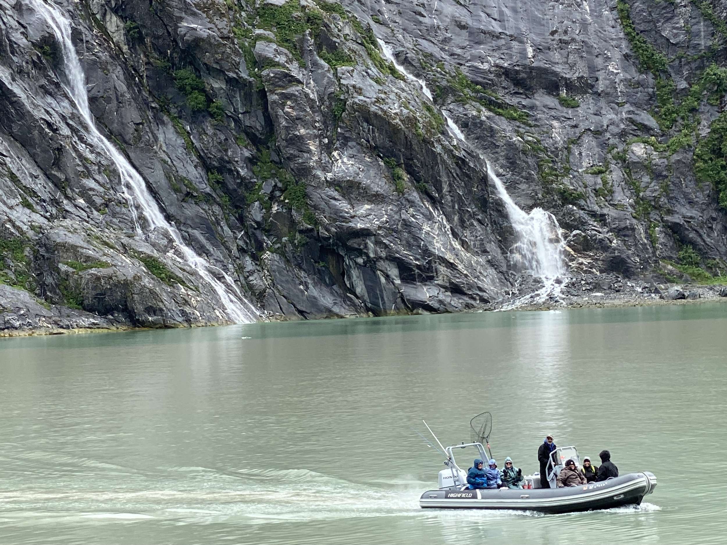
A tall waterfall drops straight into the fjord — granite and cascade country like the approach to the glacier faces further up the arm.
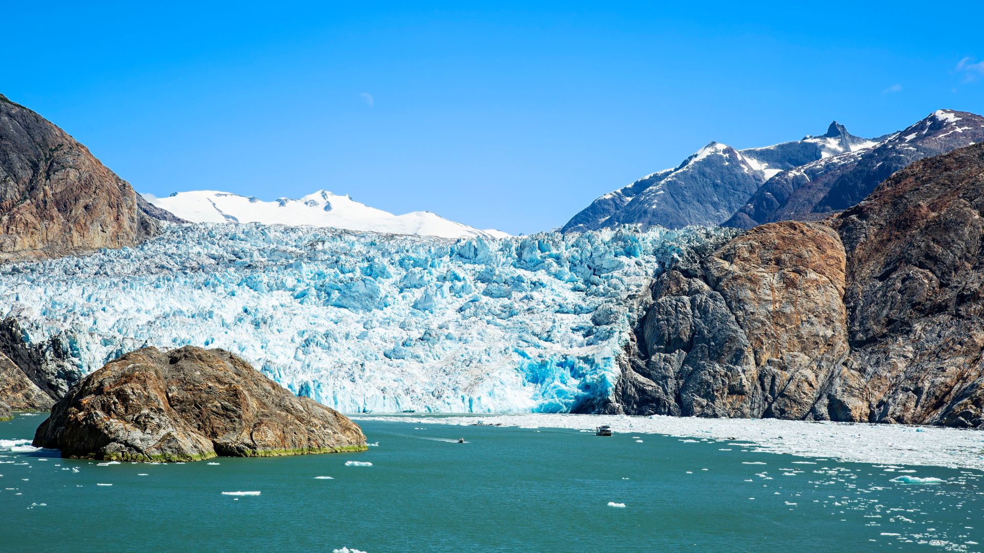
South Sawyer — the larger of Tracy Arm's two tidewater glaciers, the calving face towering blue over berg-filled water. This is the half-mile-off view the morning goes silent for.

Pavlof off the stern by mid-morning; fifty nautical miles southeast across Stephens Passage, around Five Finger Lighthouse, and into the mouth of Tracy Arm. The lighthouse — built in 1902 and the last manned light in Alaska before automation in 1984 — sits on a rock at the entrance to the arm's wider system. Frederick Sound opens south from here; Tracy Arm climbs east. The captain's call on timing matters: the tidal current at the bar at the fjord's mouth runs hard, and the entry is timed to the slack window.

Inside Tracy Arm the fjord runs thirty nautical miles between two-thousand-foot granite walls, narrowing as it climbs toward the two glaciers at its head. The shore is jet-black slate and bare granite; cascades drop from the upper rim every few hundred meters. Halfway up, the South Sawyer face opens off the right side. The yacht idles in to a half-mile off and shuts engines. The morning runs silent except for the work of the ice: the rifle-shot crack when a column lets go, the wash when it hits the water, the harbor seals hauled out on the floe ice between the yacht and the wall. The water in the fjord is turquoise from the glacial silt; the air is thirty degrees cooler than the open channel.

After an hour the yacht moves another mile up to the smaller Sawyer face, then turns and runs back out for the overnight. Most charters anchor in Tracy Arm Cove just outside the bar or in the Wood Spit anchorage near the mouth — the captain picks the calmer of the two depending on the wind. Dinner aboard. The northern twilight runs late; the entry walls of the fjord stay lit until midnight at solstice.

Day Highlights

  • Fifty-nautical-mile run from Pavlof to the Tracy Arm bar.
  • Five Finger Lighthouse passage at the mouth of the system.
  • Half-mile-off positioning at the South Sawyer calving face; engines down.
  • Overnight at Tracy Arm Cove or Wood Spit at the fjord mouth.
4

Day 4 of 7 · Park entry day

Long passage to Glacier Bay and the ranger check-in

Anchorage: Bartlett Cove (Glacier Bay HQ)
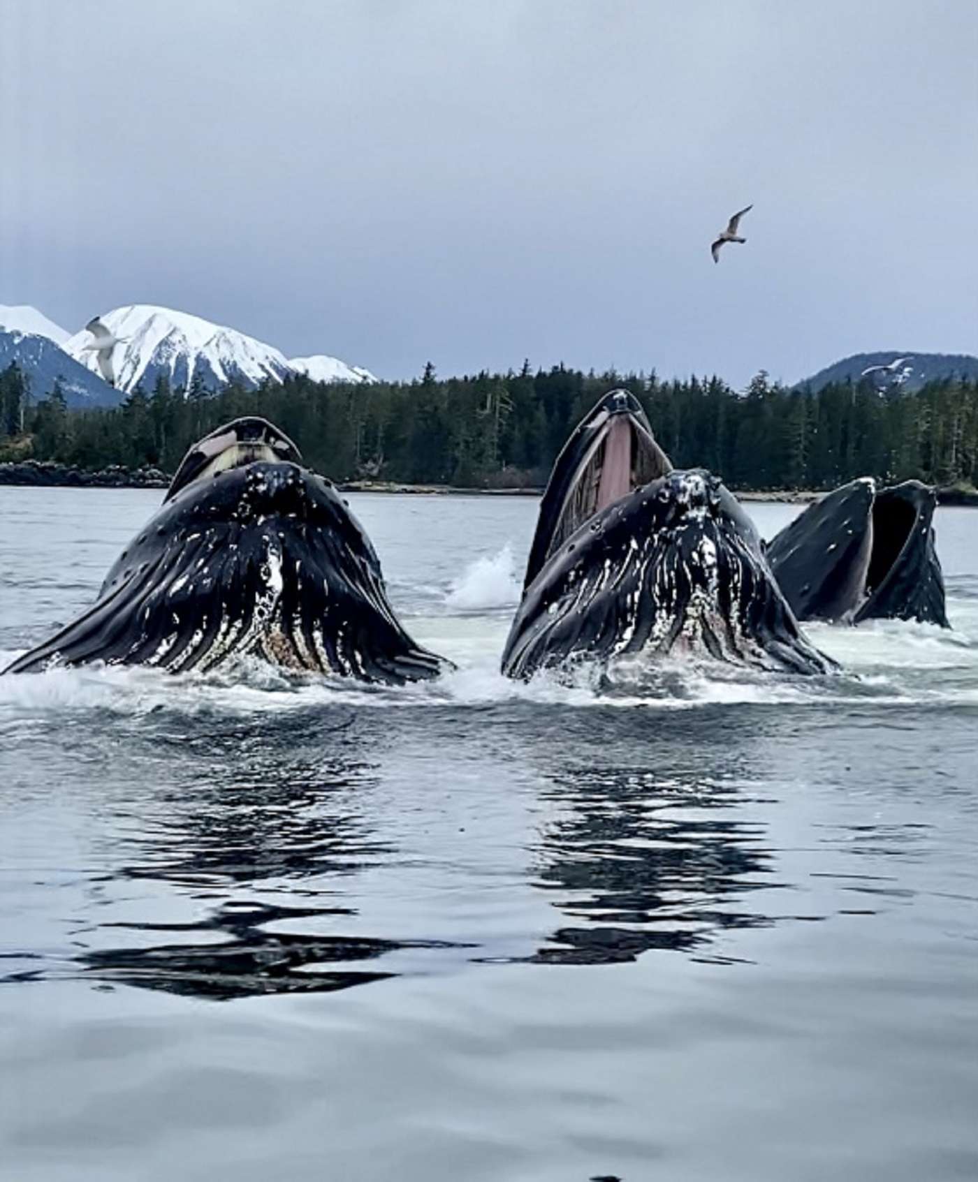
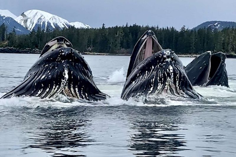
Humpback whales rise together during a feeding pass — the kind of surface activity that regularly turns transit days into whale days on this route.

The longest leg of the week — eighty nautical miles northwest from the Tracy Arm mouth across Stephens Passage, through Icy Strait, and into the mouth of Glacier Bay at Bartlett Cove. The crossing takes a full day at twelve knots; the route stays inside protected water the whole way, with two open-water exposures of less than ten miles. Icy Strait is the marquee transit-day window — the strait runs one of the densest humpback populations in southeast Alaska, and the captain slows the yacht through the strait's choke points if a feeding cohort is on the surface.

Bartlett Cove sits at the southern end of Glacier Bay National Park, at the foot of the largest protected coastal wilderness in the country. The park covers 3.3 million acres of water, ice, and forest; the bay itself runs sixty-five nautical miles north from the cove to the tidewater glaciers at its head. Bartlett Cove is the park headquarters — the ranger station, the visitor center, and the dock where the captain checks in on the morning of the permitted day. The check-in covers the day's vessel-traffic count, the whale-zone speed restrictions in effect, the active wildlife reports, and any closures from the park's seasonal calendar.

Most charters arrive at Bartlett Cove the evening before the permitted day and overnight on the public dock or at anchor in the cove. Dinner aboard. The forest around Bartlett Cove is one of the oldest hemlock-spruce stands in the park — three hundred years since the last glacier retreated past this point — and the visitor center is open into the evening if guests want to walk the loop trail before nightfall.

Day Highlights

  • Eighty-nautical-mile passage from Tracy Arm to Glacier Bay's southern entrance.
  • Icy Strait humpback transit corridor — peak surface-activity windows.
  • Bartlett Cove overnight on the public dock or at anchor.
  • Park-rules briefing pre-set for the morning of the permitted entry.
5

Day 5 of 7 · The Glacier Bay permit day

Margerie, Lamplugh, and an overnight at the glacier face

Anchorage: Reid Inlet (Reid Glacier face)
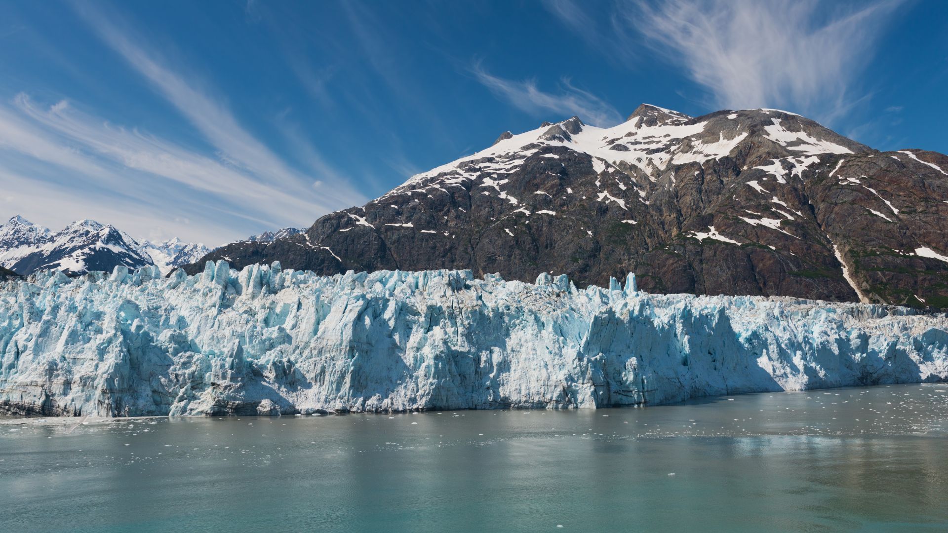
Margerie Glacier — the marquee tidewater face at the head of Tarr Inlet, a mile-wide wall of white and blue ice beneath the dark peak behind it.

The permitted day is the marquee day of the week. The captain registers with the ranger at Bartlett Cove at the morning's briefing window, the day's vessel-traffic count and whale-zone advisories go on the chart, and the yacht is on the water inside the park by mid-morning. The park's two-knot speed restriction inside whale zones is in effect from June through August across most of the bay's mouth; the captain runs it as a matter of course.

The main run north is fifty nautical miles up the bay's western arm to Tarr Inlet at the head, where the Margerie Glacier sits. The bay opens as the yacht climbs — Sitakaday Narrows, the South Marble wildlife shoals, the Russell Cut, then the long final straightaway with the Fairweather Range on the western horizon. The Margerie's face is roughly a mile wide and two hundred fifty feet high above the water; the boats position a half-mile off, kill the engines, and the inlet runs silent the way Tracy Arm does. Calving on the Margerie is more frequent than at South Sawyer — the face is more active — and the floe ice in front carries harbor seals and the occasional black oystercatcher. A mile west of the Margerie, the Lamplugh Glacier's blue ice runs straight to the water from the Brady Icefield above; the captain typically swings the yacht past it on the way back south.

The afternoon move is fifteen nautical miles back south into Reid Inlet — the side branch off the western arm, with the Reid Glacier at the head and a holding-ground anchorage in front of it. The captain's preferred overnight inside the park: protected, glacier-fronting, and one of the few inlets where the park permits overnight anchorage. Dinner aboard at anchor, the Reid face visible from the saloon windows. The Reid is a retreating glacier — its face has pulled back several hundred meters since the 1990s — and at low tide the recently-uncovered shore in front is bare granite and silt.

Day Highlights

  • Ranger check-in at Bartlett Cove and entry under the park's permitted-vessel day.
  • Fifty-nautical-mile run north to the Margerie Glacier face in Tarr Inlet.
  • Side pass at the Lamplugh Glacier on the return south.
  • Overnight at anchor in Reid Inlet with the Reid Glacier face visible from the saloon.
6

Day 6 of 7 · Wildlife day

South Marble Island's haul-outs and the long return south

Anchorage: Bartlett Cove or just outside the park
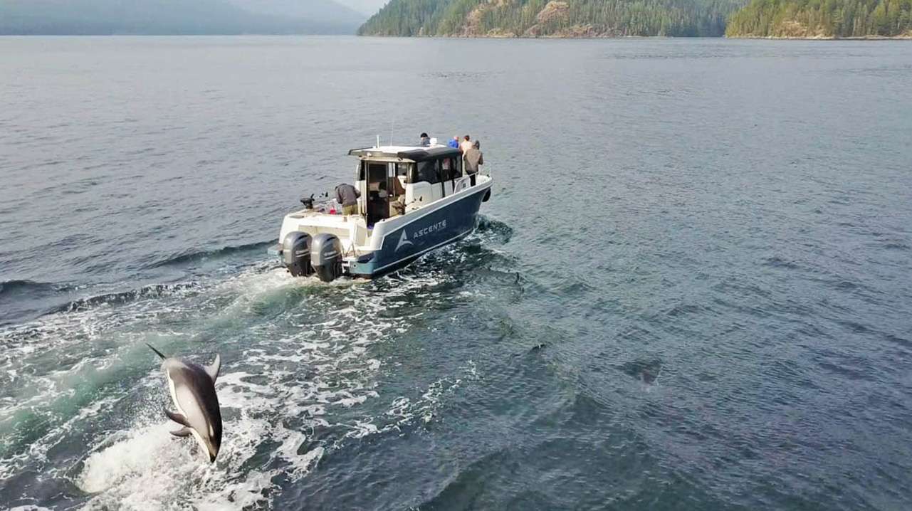
A Pacific white-sided dolphin clearing the tender's wake — pods ride the bow through these channels on transit days.

Morning at anchor in Reid Inlet — breakfast on the aft deck, the Reid face still close enough to hear if a column lets go. Lines off mid-morning for the run south back down the western arm and across to South Marble Island. South Marble is the eastern-side wildlife stop of the park: a seabird colony on the rocks, tufted puffins and common murres nesting on the cliffs, and a Steller sea lion haul-out on the southwestern point. The boats stand off at the regulated distance — the haul-out is part of the park's protected sea lion rookery — and the deck is loud with the colony from a quarter-mile off.

From South Marble the route runs forty nautical miles south back toward Bartlett Cove. The bay closes around the yacht the way it opened the previous morning, only with the Fairweather Range now behind the stern. Whale activity in the lower bay is common in late June and July — humpbacks return to the bay's mouth in May after wintering off Hawaii and Mexico, and feeding pods are routinely visible on the main channel. The captain shapes the day around the wildlife windows; if the haul-out at South Marble is closed by surge or the whales are stacked along the eastern shore, the route adjusts.

By late afternoon the yacht is back at the Bartlett Cove dock or anchored just outside the park boundary at the cove's mouth. The permitted day expires at park closing; the captain re-signs the day's log with the ranger and the yacht is technically out of the park overnight. Dinner aboard; the long twilight makes the last hour on the aft deck part of the day's program rather than the wind-down.

Day Highlights

  • Morning at anchor in Reid Inlet with the glacier face still in earshot.
  • Stand-off at South Marble Island's seabird colony and sea lion haul-out.
  • Forty-nautical-mile return south to Bartlett Cove with humpback windows.
  • Park-permit closeout with the ranger at the cove dock.
7

Day 7 of 7 · Return passage

The long run east back to Juneau

Anchorage: Auke Bay or downtown Juneau
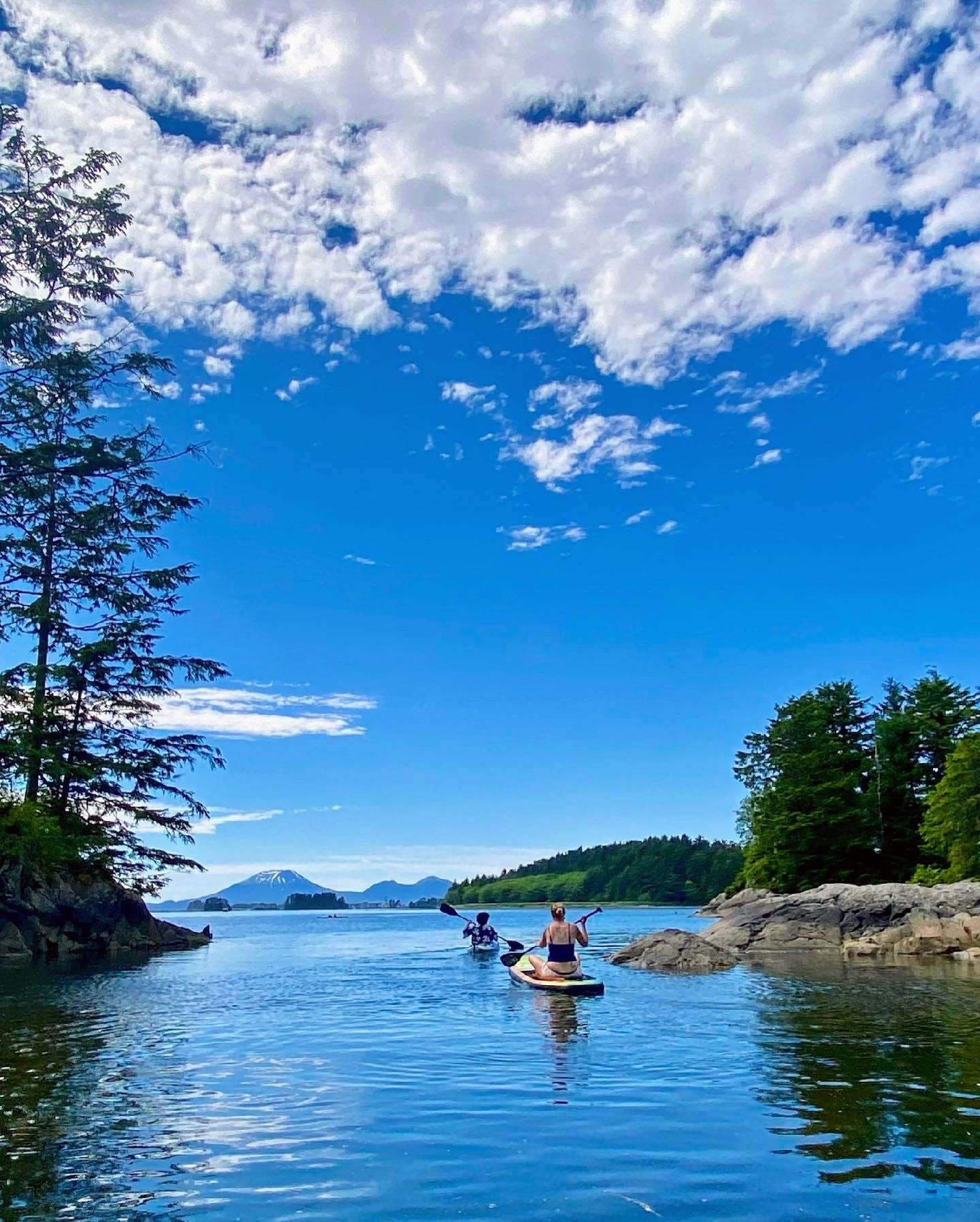
Paddleboarders out on calm water for the closing-night anchorage — granite and spruce shoreline, a snow peak in the distance.
Whale blows off the stern on the return transit — closing-day sightings are common on this crossing back toward Juneau.

The final full day of cruising — ninety nautical miles east from Bartlett Cove back across Icy Strait and Chatham Strait to a closing anchorage somewhere in the Funter Bay or Saginaw Channel area. The captain picks the stop based on weather and the morning's disembarkation logistics. If the weather window allows it, a Funter Bay overnight is the canonical close: protected, ringed by Tongass forest, the same anchorage the first night opened in. If weather pushes the yacht east of Admiralty, a Saginaw Channel side cove is the alternative.

Icy Strait on the return runs the same humpback density as the outbound — sometimes more, depending on how the feeding pods have moved through the week. The captain holds slow watch through the strait's choke points; an end-of-week pass through a feeding cohort is more common than not in the late-June-through-July window. The afternoon route off Point Augusta and into Chatham Strait covers some of the most productive whale-watching water in the region — Auke Bay Whale Photo, the long-running citizen-science project, logs three to four hundred individual humpbacks in this stretch of water in any given summer.

The closing evening on the aft deck runs longer than the rest of the week. The twilight stretches past 11pm at solstice; the chef tends to plan the closing dinner with the week's catch in mind, and the captain runs through the trip's wildlife log over coffee after. Most charters book Alaska as a multi-year trip — guests who run the Inside Passage this year usually return for Frederick Sound or Misty Fjords in a subsequent season.

Day Highlights

  • Ninety-nautical-mile passage east across Icy Strait and Chatham Strait.
  • Closing humpback windows in the return route through Icy Strait.
  • Last anchorage at Funter Bay or a side cove in Saginaw Channel.
  • Closing dinner aboard; trip wildlife log walk-through with the captain.
8

Day 8 · Departure

Disembarkation and onward transfers

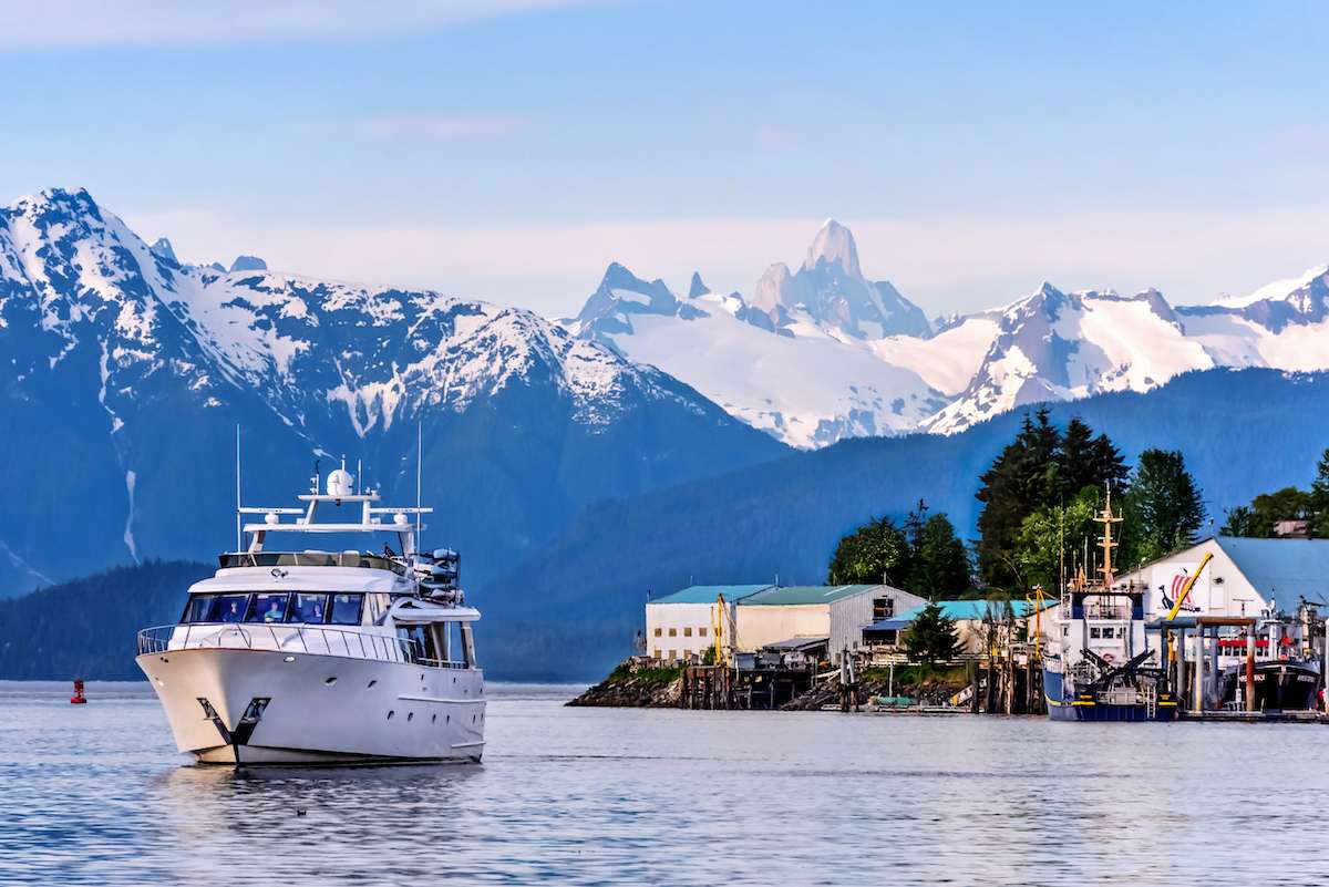
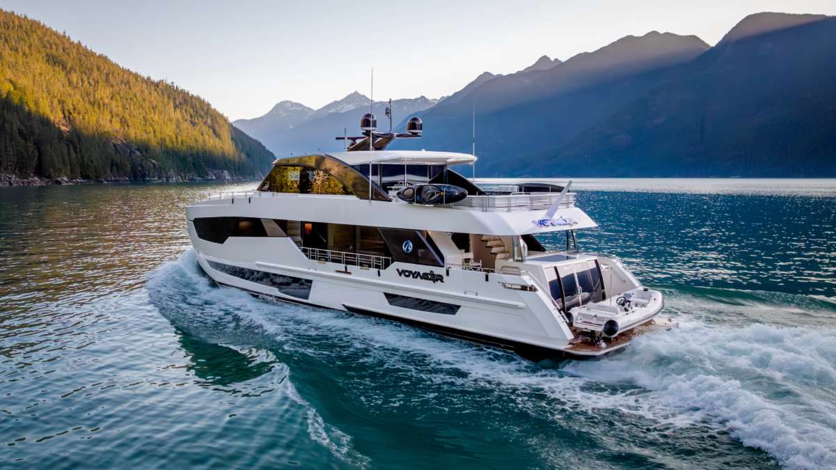
The yacht underway on the run back in, a dramatic peak on the horizon — the last miles before the marina and the flight home.

Breakfast aboard, luggage off, and a straightforward transfer to JNU. From Auke Bay or Aurora Harbor the airport is fifteen to twenty minutes by car; the crew handles the move, with pre-booked private transfers for groups with afternoon flights. Direct flights to Seattle (SEA) run multiple times daily on Alaska Airlines; from there onward connections to most US hubs are single-flight days.

The Alaska week ends the way it usually reads best — full, mileage-heavy, and quieter than guests expected before they booked. Most groups that run this route come back for the Frederick Sound wildlife week on a subsequent trip; the captain typically walks through the second-charter option before the group disperses.

Frequently asked

Is the Glacier Bay permit actually different from going to the park on a cruise ship?
Yes — completely different. Cruise ships enter Glacier Bay under a separate permit category capped at two large vessels a day plus a handful of smaller commercial day-tour boats. Private-vessel permits are issued separately, twenty-five a day from June through August, and yachts have to apply by the previous February for a specific calendar day. On a private yacht inside the park, the boat is one of twenty-five small vessels in two thousand square miles of water, anchoring overnight at Reid Inlet, North Sandy, or Blue Mouse Cove — none of which a cruise ship can do — and approaching the Margerie and Lamplugh tidewater faces from a half-mile off rather than from a deck six stories up. The cruise-ship version of Glacier Bay is the scenic-overview version; the yacht version is the night-on-the-water version.
What kind of yacht actually does this route?
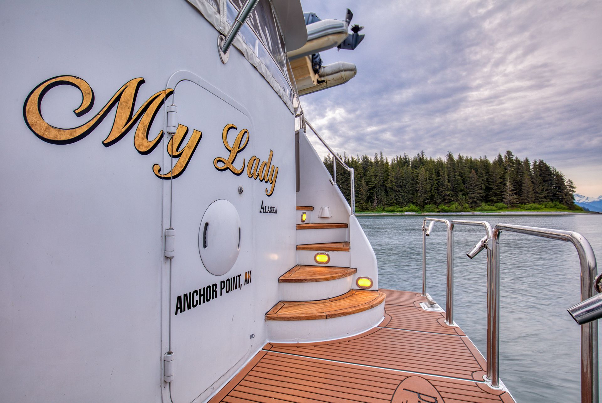
Power yachts in the six-to-twelve-pax range, almost all explorer or motor-yacht builds with the range to push from Juneau to Glacier Bay (~150 nautical miles each way) without a fuel stop, stabilizers for the open-water crossings off Cape Spencer, heated salons, hot showers after wet shore landings, and tender capacity for the bear-viewing and glacier-face days. Eight yachts work the Alaska cruising ground in any given season — among them ASCENTE, BLACKWOOD, MY LADY ALASKA, BEAR PAW, SUMMER SUNSET, VOYAGER, and Discovery — all with crews who have been working this coast for multiple seasons. Sailing yachts and catamarans do not work this fleet: the Inside Passage's prevailing winds sit in the wrong quarter for sailing, and the boats that have committed to Alaska are built for cruising in cold water, not for moving under canvas.
Will we actually see whales, glaciers, and bears in one week?
Yes, on the standard timing. Humpback whales are routinely visible in Stephens Passage and Frederick Sound from the moment the yacht clears Juneau Harbor — by June the population in the Inside Passage runs into the hundreds, and most weeks log multiple sightings on transit days alone. Tidewater glaciers are the certainty on the route: Tracy Arm's South Sawyer and Sawyer faces, plus Glacier Bay's Margerie and Lamplugh on the permitted day, are all live calving glaciers and the yacht is positioned a half-mile off. Brown bears are seasonal — Pavlof Harbor on Chichagof Island runs the strongest July and August salmon stack-up, with bears visible from the yacht and on guided shore landings. The captain times the week around the wildlife calendar: a June trip leads with humpback density; an August trip leads with bear viewing.
What's the weather actually like on this route?
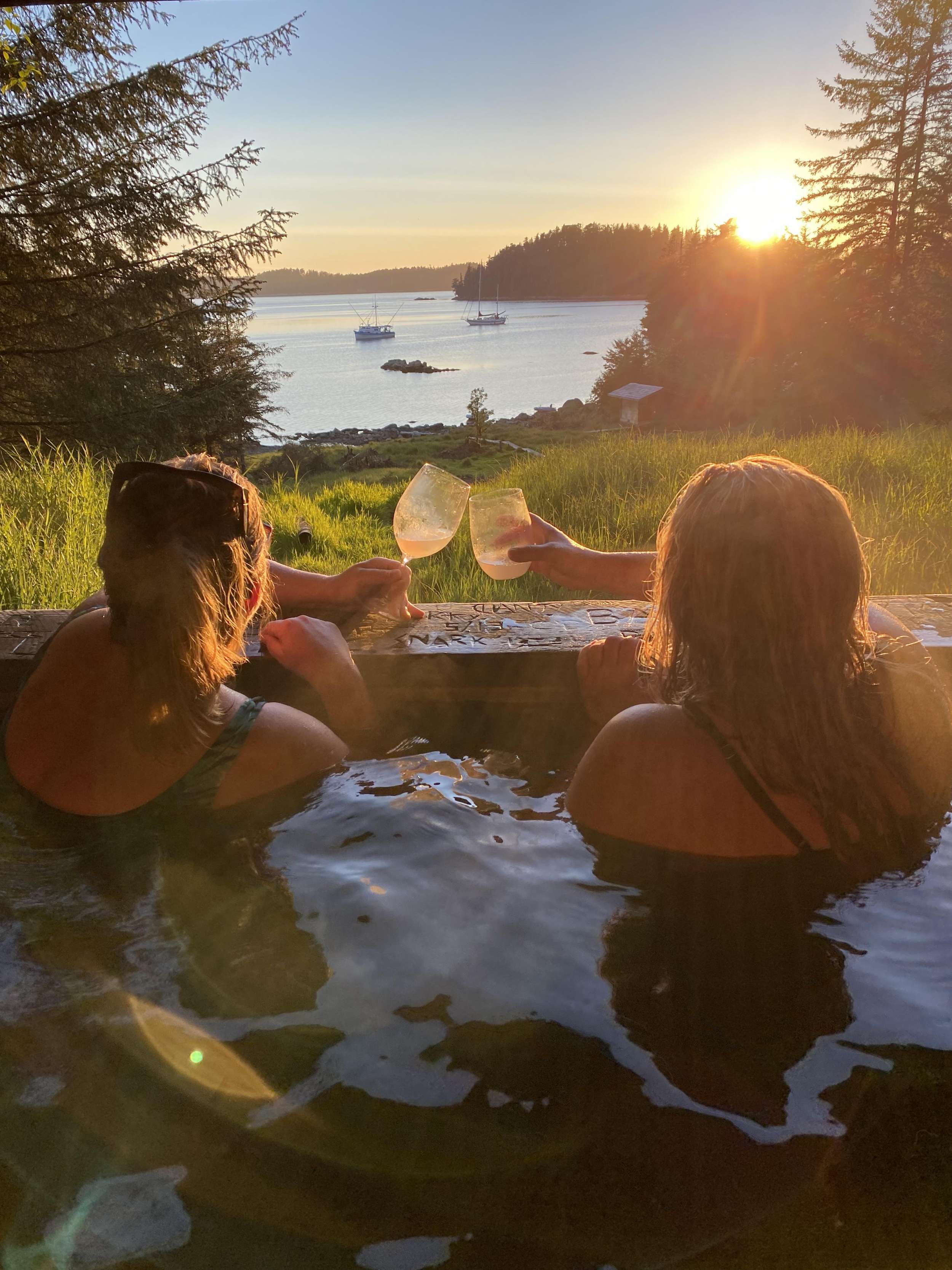
Cool and wet is the honest answer. Daytime temperatures in southeast Alaska sit in the high fifties to low seventies in peak summer, overnight in the forties. Rain is the default — Juneau averages about sixty inches a year, Glacier Bay's western shore over a hundred. A week without rain is unusual; a week without sunshine is also unusual. The yacht is heated, the salon is dry, and the crew has hot showers and dry towels waiting after every shore excursion. The crews keep loaner inventory of XtraTuf boots, raingear, and binoculars onboard — sizes go in a few weeks before the trip. The pack list is closer to Patagonia than to a Mediterranean charter: waterproof breathable shells, synthetic or merino base layers, fleece mid-layers, polarized sunglasses for the glacier glare. Swimwear is mostly for the hot tub on the aft deck, not the water.
How does this compare to the Frederick Sound or Misty Fjords routes?
Each route has a defining day. The Inside Passage route is built around the Glacier Bay permit and Tracy Arm — tidewater glaciers and the park itself are the marquee. Frederick Sound is built around humpback bubble-net feeding in May through July — the only place in the world where the behavior is reliably visible from a yacht, and the trip is timed to it. Misty Fjords runs south from Ketchikan and is built around granite-fjord geography and bear viewing at Anan Creek, with no Glacier Bay permit required. Groups that want the full Alaska brand-recognition photograph book the Inside Passage route; groups that want the wildlife-first trip without permit rigidity book Frederick Sound; groups that want the geological-density week book Misty Fjords. Repeat Alaska guests usually do two of the three across separate years.
When's the best time to run this route?
Mid-June through mid-August is the strongest window. Daylight is at its longest — nineteen hours direct at solstice, with civil twilight running through the night near June 20th and 21st — water temperatures peak (high forties to low fifties in the channels), wildlife density is highest, and Glacier Bay permits are most consistently available. July is the sweet spot for combining humpback density (still active in Frederick Sound) with brown bear viewing (salmon runs starting). August leans more toward bear-viewing peak and the first hint of fall colors on the deciduous understory. Mid-May charters get first-of-season ice viewing in the fjords and lower booking pressure, with the trade-off of cooler air and shorter daylight. September shifts the trip toward fall colors and lower rates, with the trade-off that some wildlife is winding down. Glacier Bay permits are easier to secure in May and September because daily caps are lower but demand is lower too.

Ready to set sail through the Inside Passage and Glacier Bay?

Every itinerary we send is custom-tailored. Tell us your dates, the size of your group, and what you want out of your charter—we'll handle the rest.