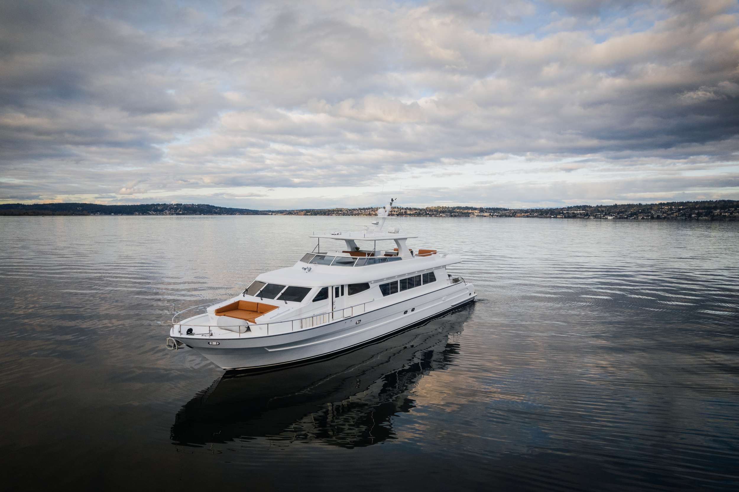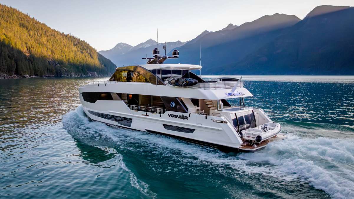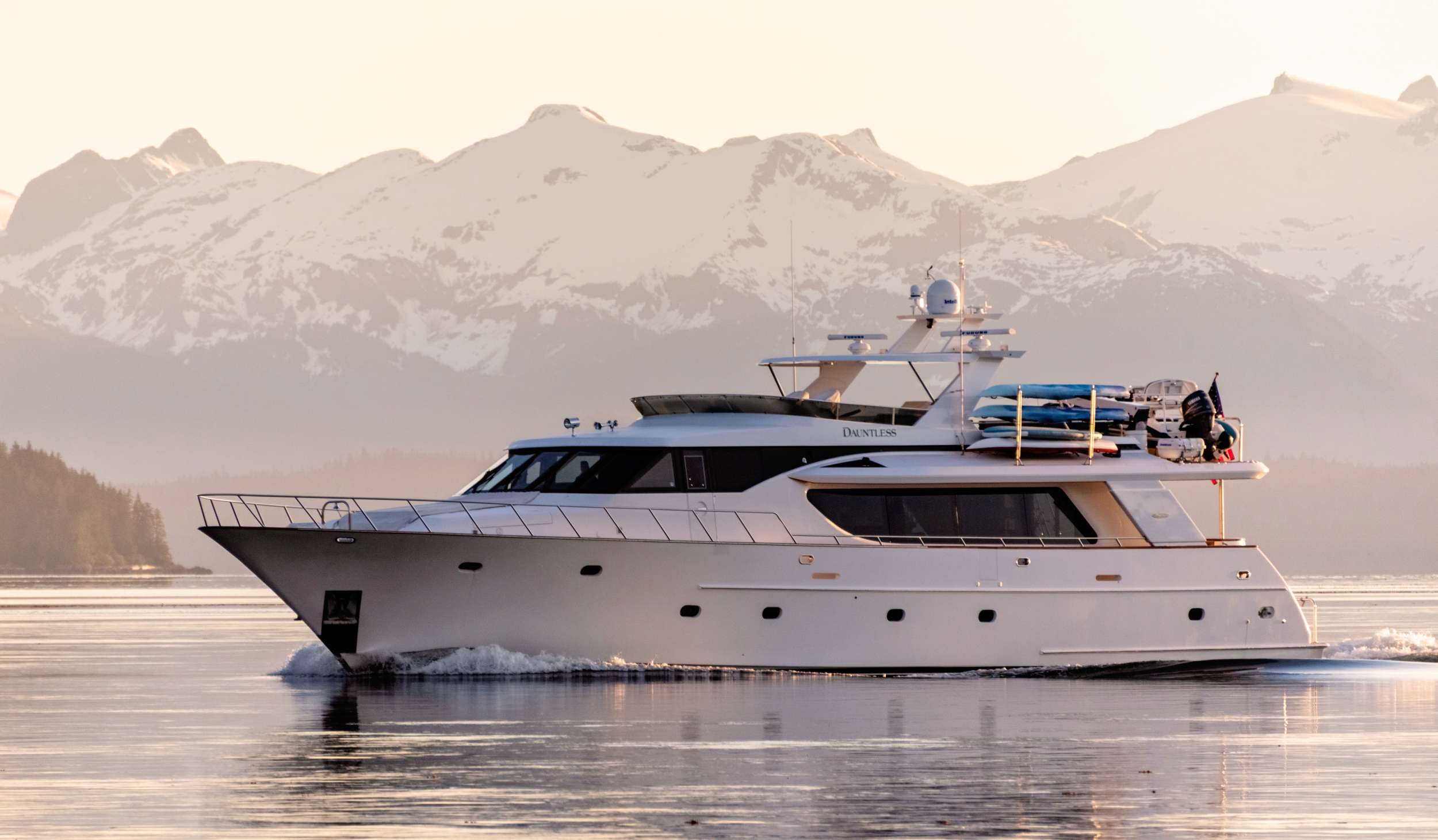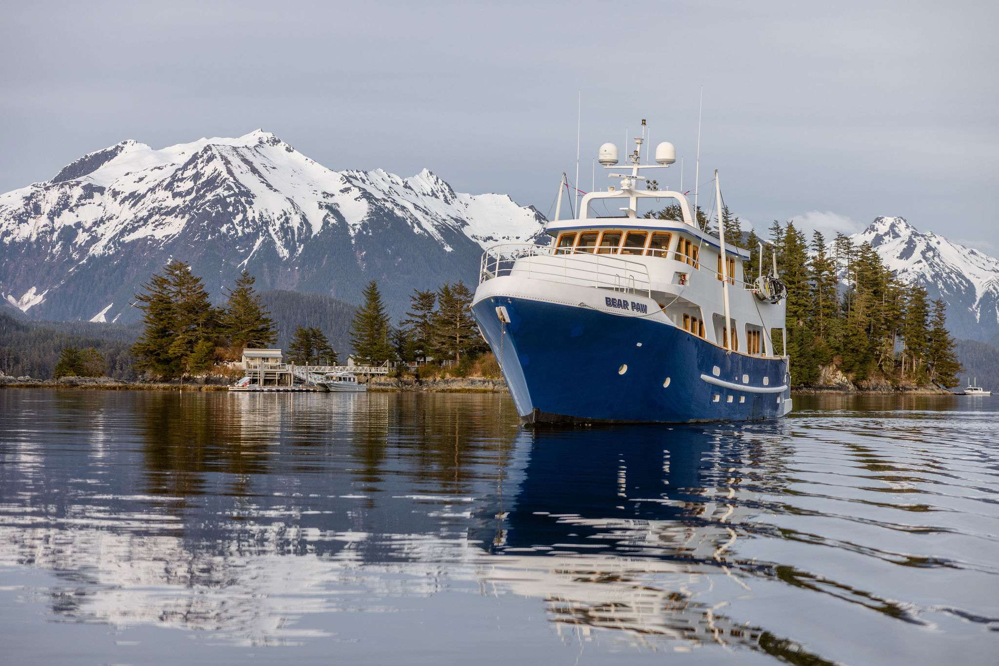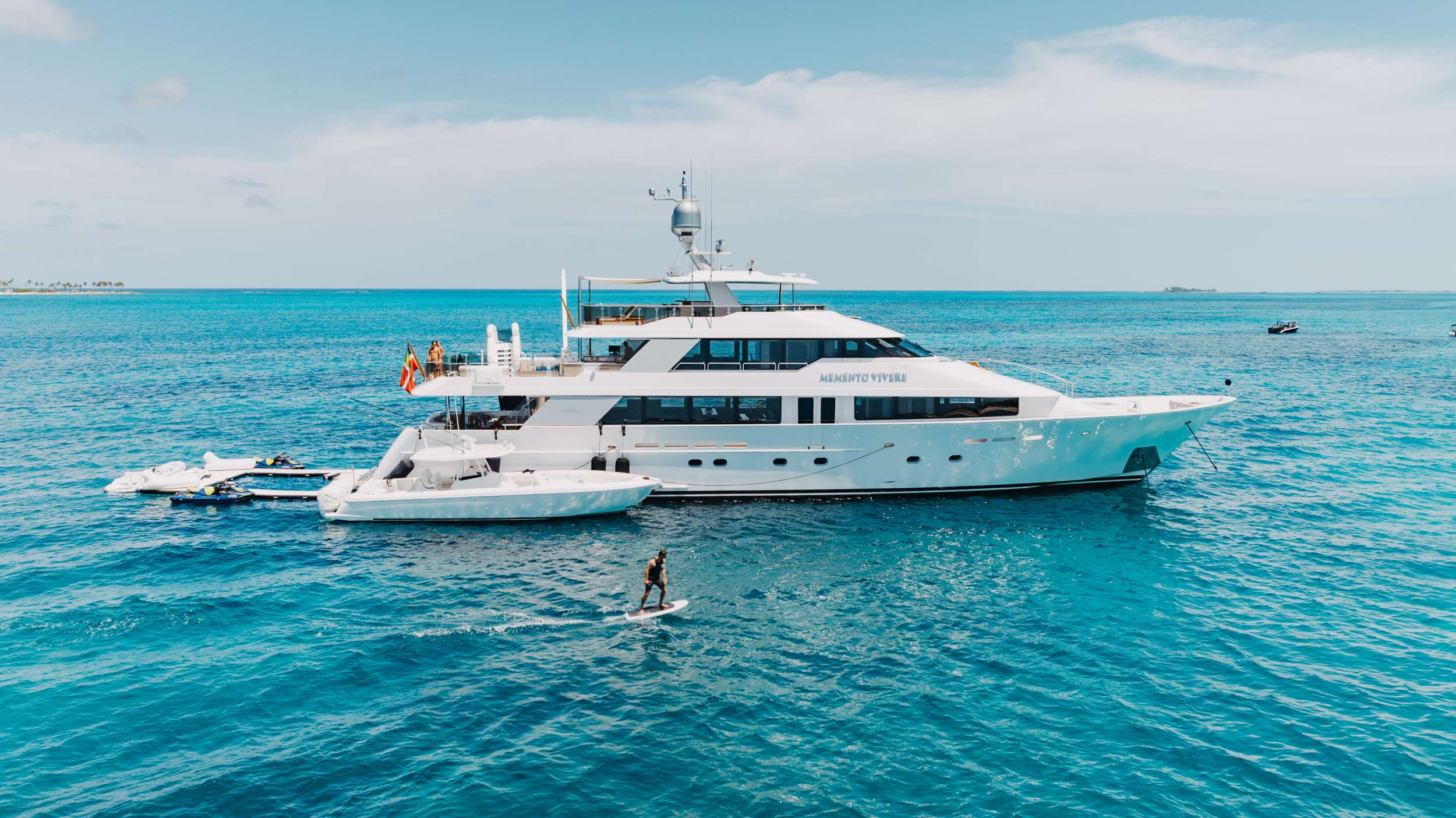

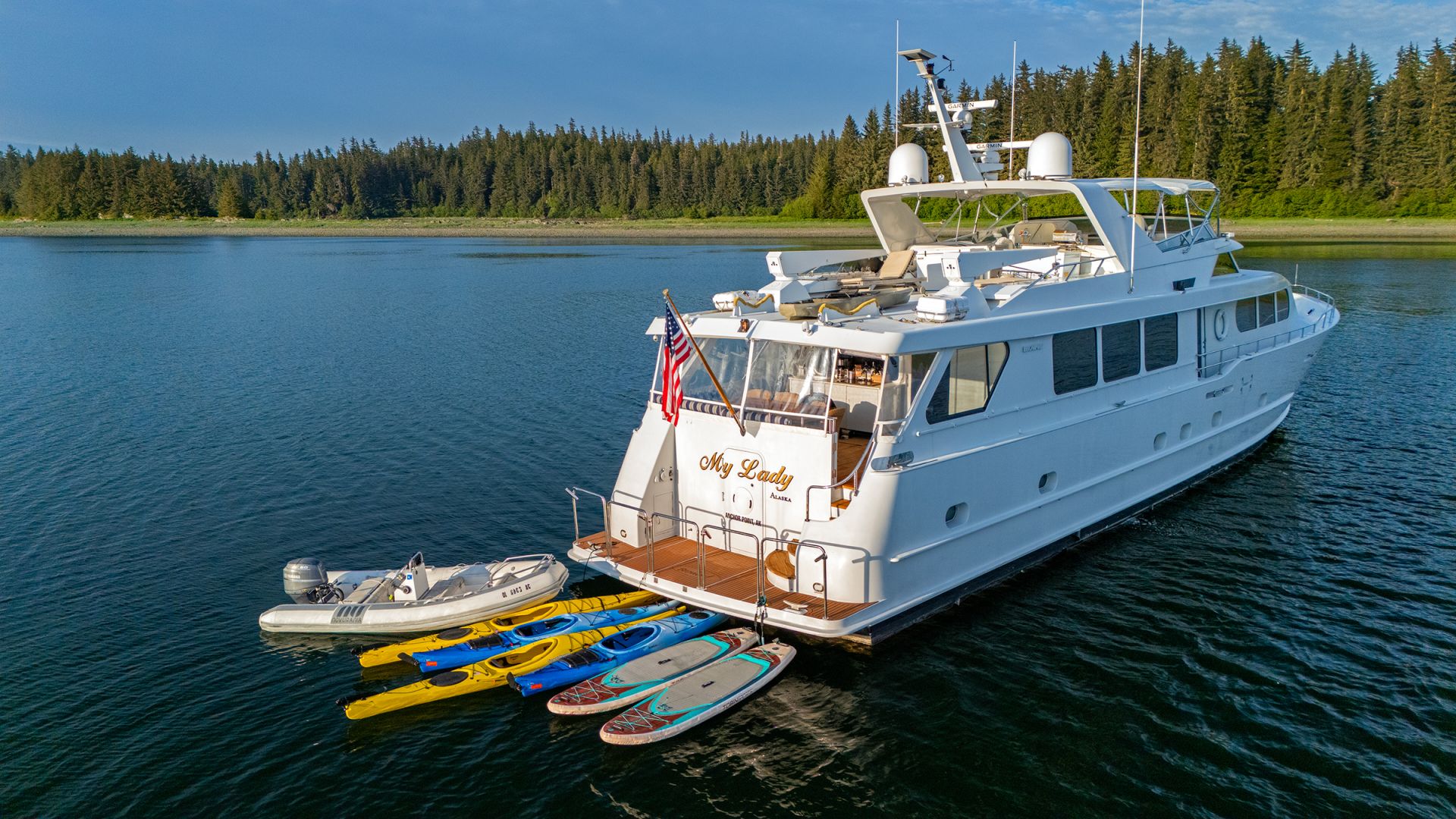
My Lady Alaska
97FT · MOTOR YACHT
Pricing from $50,000/week
10 Guests · 5 Cabins
Caribbean
Eastern Mediterranean
Western Mediterranean
South Pacific
United States
Glaciers calving off the bow, humpbacks bubble-netting through Frederick Sound, bears working the salmon streams, and nineteen hours of June daylight to fit it all in — Alaska is the summer the rest of the charter map can't touch.
Why Alaska
Alaska rewards closeness, and closeness is what you're buying. From a yacht you'll hear Tracy Arm's ice crack before it hits the water, watch bubble-netting humpbacks break the surface off the bow, and idle within federal distance of a black bear working the salmon run — six to twelve of you, on a schedule the captain rewrites daily around the wildlife. Most travelers first meet this coastline from a cruise ship, and it's a fine introduction; a yacht is simply the closer read, into the side coves the big channels pass by, with the day free to change when a pod of orcas shows up.
If it's your first Alaska week, we'd book the Inside Passage and Glacier Bay route — the permitted day inside the park and Tracy Arm's granite corridor are the marquee for a reason. If you've already seen the famous glaciers, the Frederick Sound week is the trip your friends haven't had: timed to the early-summer window when the bubble-nets run daily. And Misty Fjords is the no-permit southern week — thousand-foot waterfalls, the least-trafficked corner of the coast. The captain books Glacier Bay a year ahead; everything else moves with the weather and the wildlife.
Alaska by yacht suits travelers who want the wildlife calendar setting the day's plan — and it's a natural second trip for guests who met this coastline on a cruise and came away wanting more time in the places the schedule couldn't linger. The four-month season and the small fleet mean the closest dates go first. We walk through which of the three weeks puts the group nearest the wildlife it wants to see, and when — the answers are different in May than they are in August.
Four characteristics that separate the Inside Passage week from any other charter in the fleet.
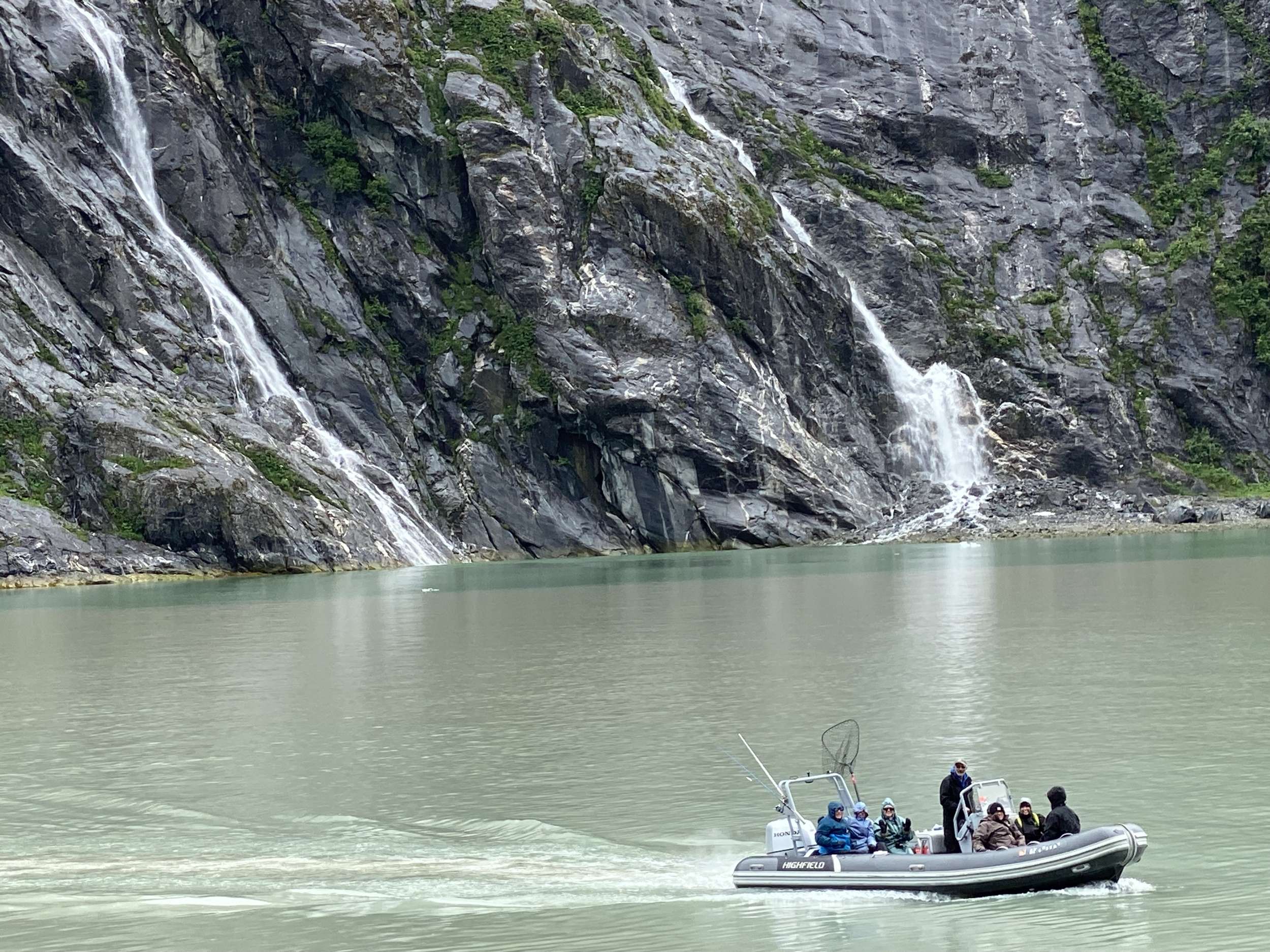
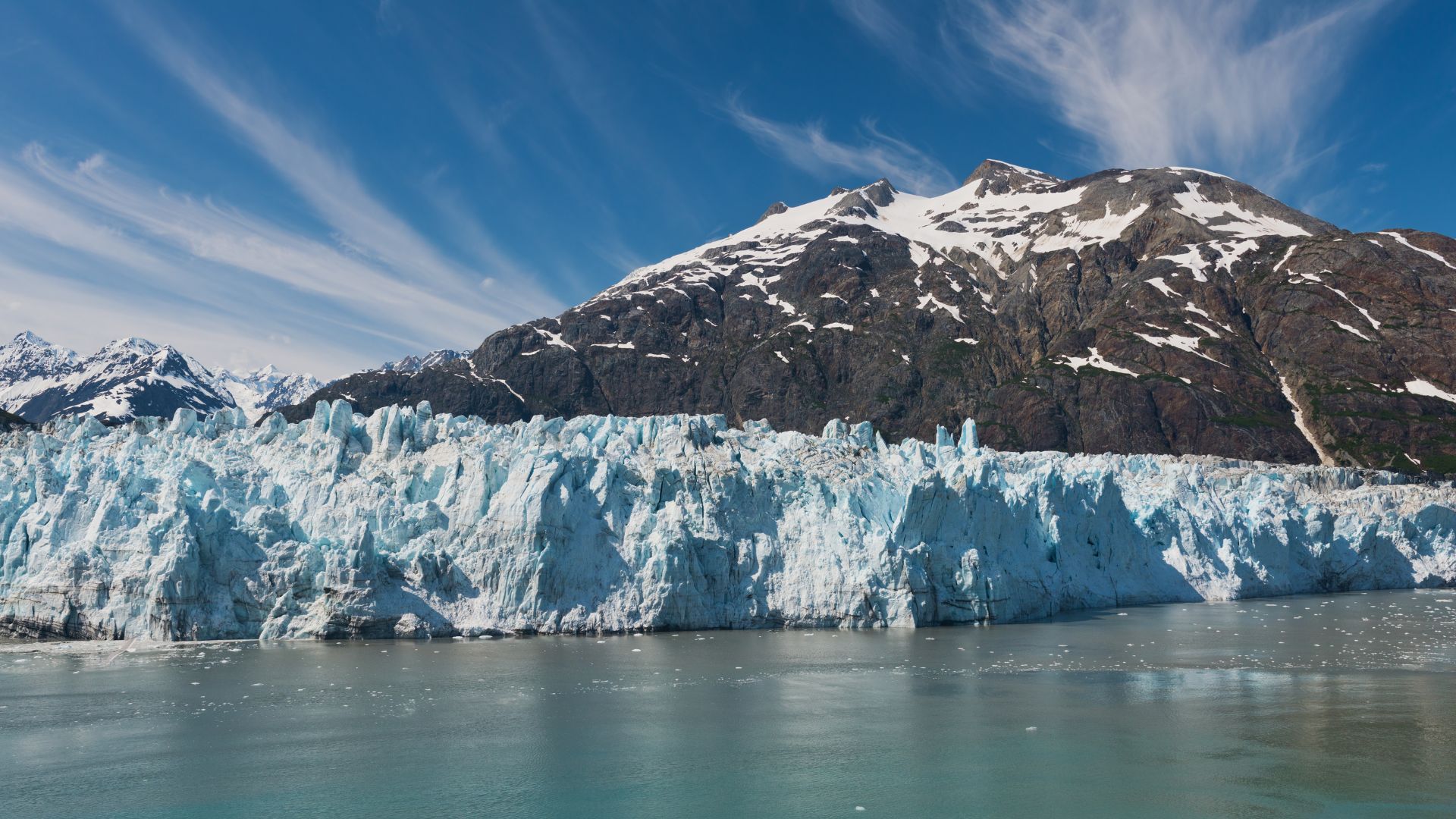
Tracy Arm runs east from the Inside Passage for thirty nautical miles between two-thousand-foot granite walls, narrowing as it climbs toward the South Sawyer and Sawyer glaciers at its head. The yachts position a half-mile off the calving face, kill the engines, and the morning is silent except for the work of the ice — the rifle-shot crack when a column lets go, the wash when it hits the water, the harbor seals on the floe ice between the yacht and the wall. Endicott Arm at the Dawes Glacier runs the same play with fewer day-tour boats. The shore on the way in is jet-black slate; the water turns turquoise where the glacial silt meets the seawater.
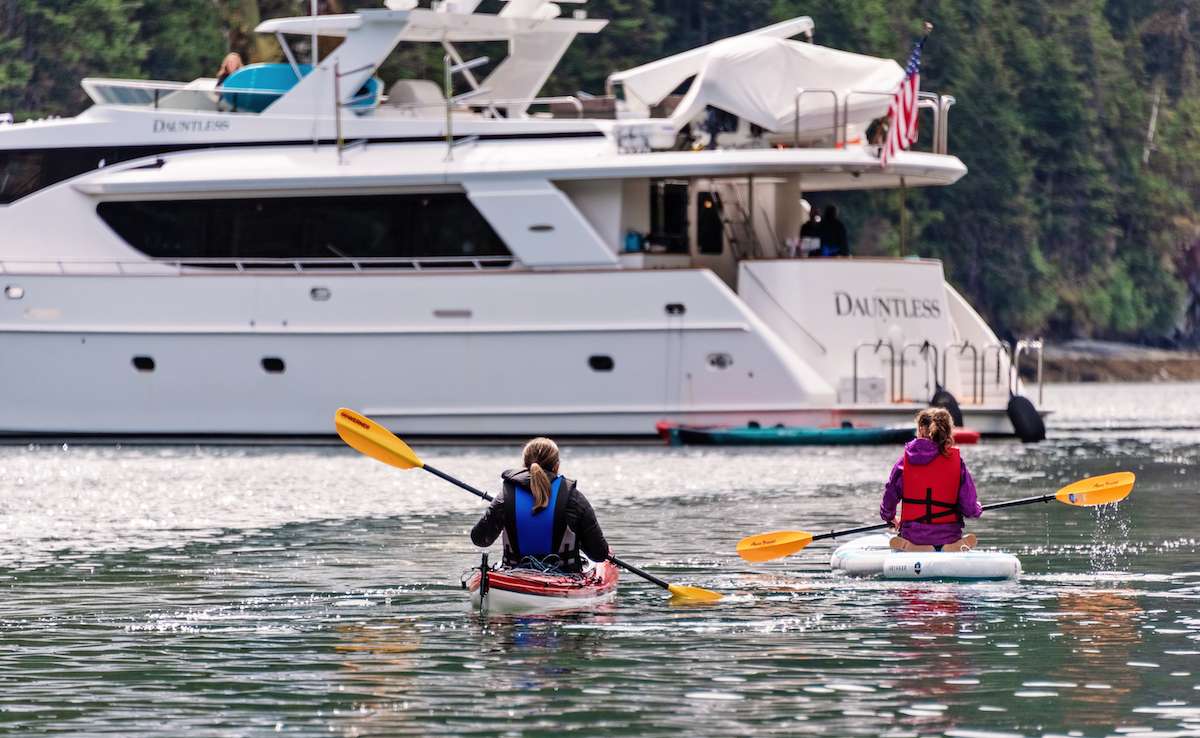
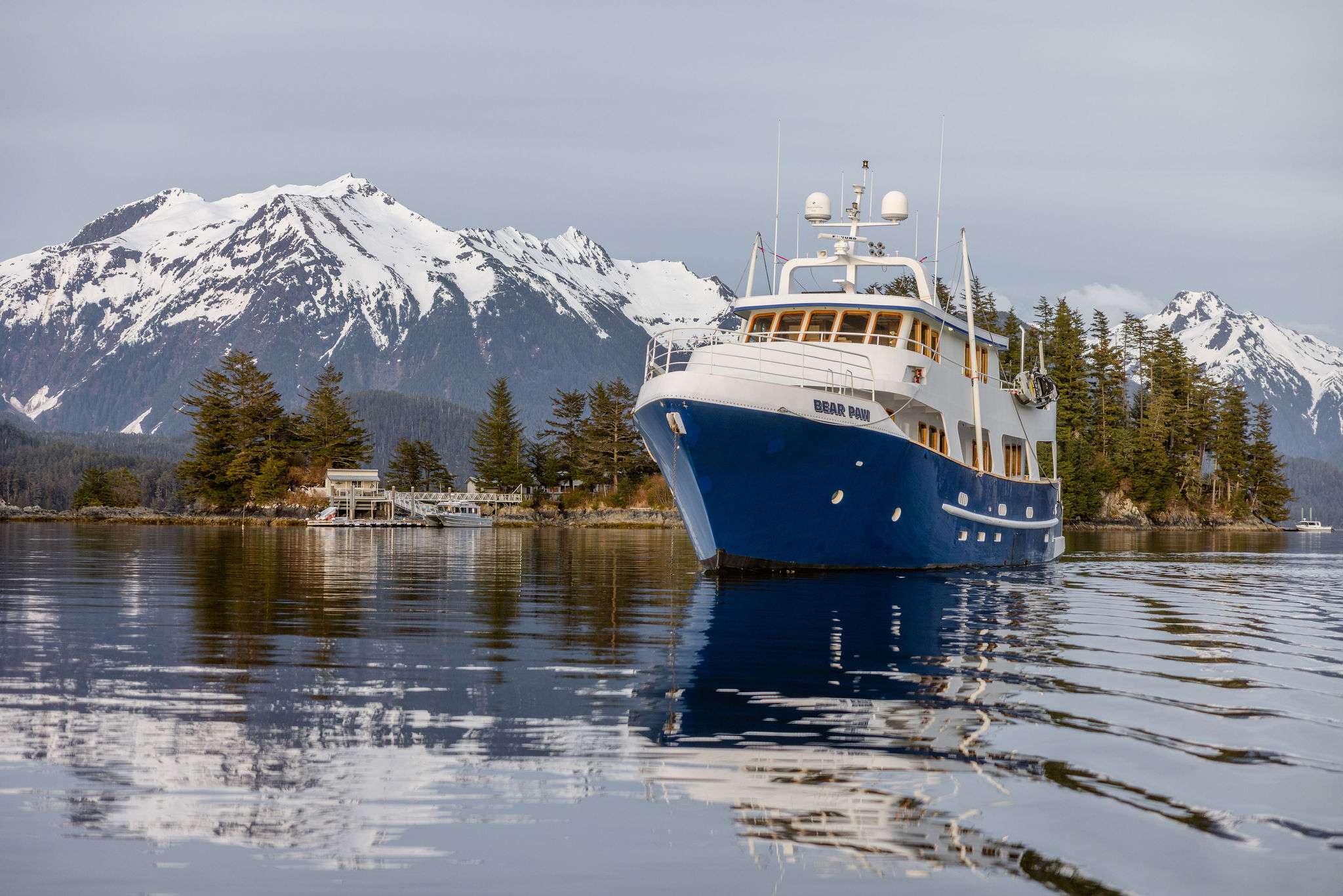
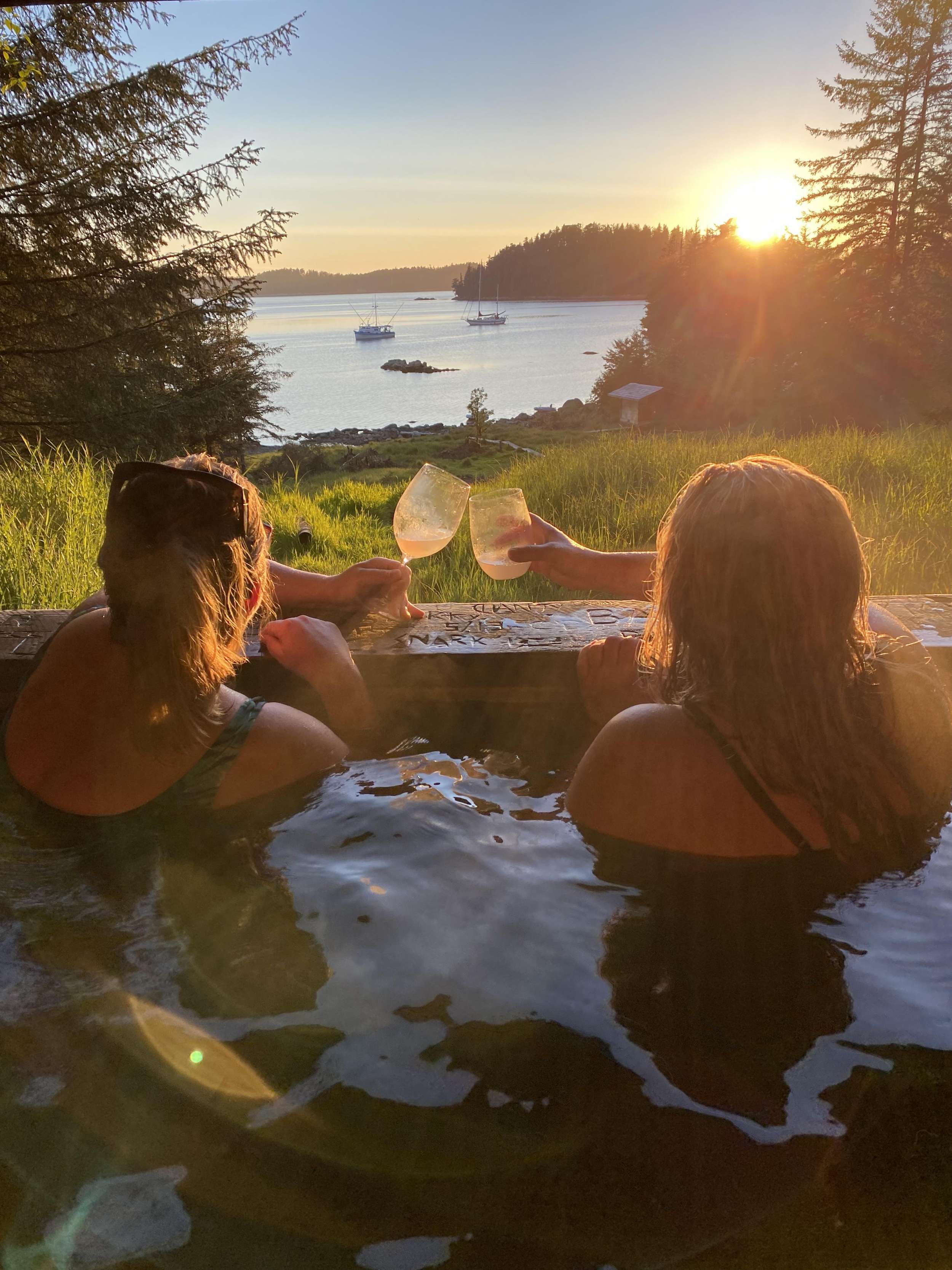
The Tongass National Forest covers seventeen million acres of southeast Alaska — the largest intact temperate rainforest left on the planet, and the geography the rest of the week's anchorages are tucked into. The yacht spends as much time off the standard route as on it: a side-cove most weeks see no other vessel, a salmon-stream estuary the captain has worked for ten seasons, a hot-spring soak at Baranof Warm Springs where the cabin sits a hundred meters off the boat's stern. The forest itself is hemlock and spruce running straight up the slopes from the waterline; the chart sounds the depth in the cove at four hundred feet of clear cold water under the keel.
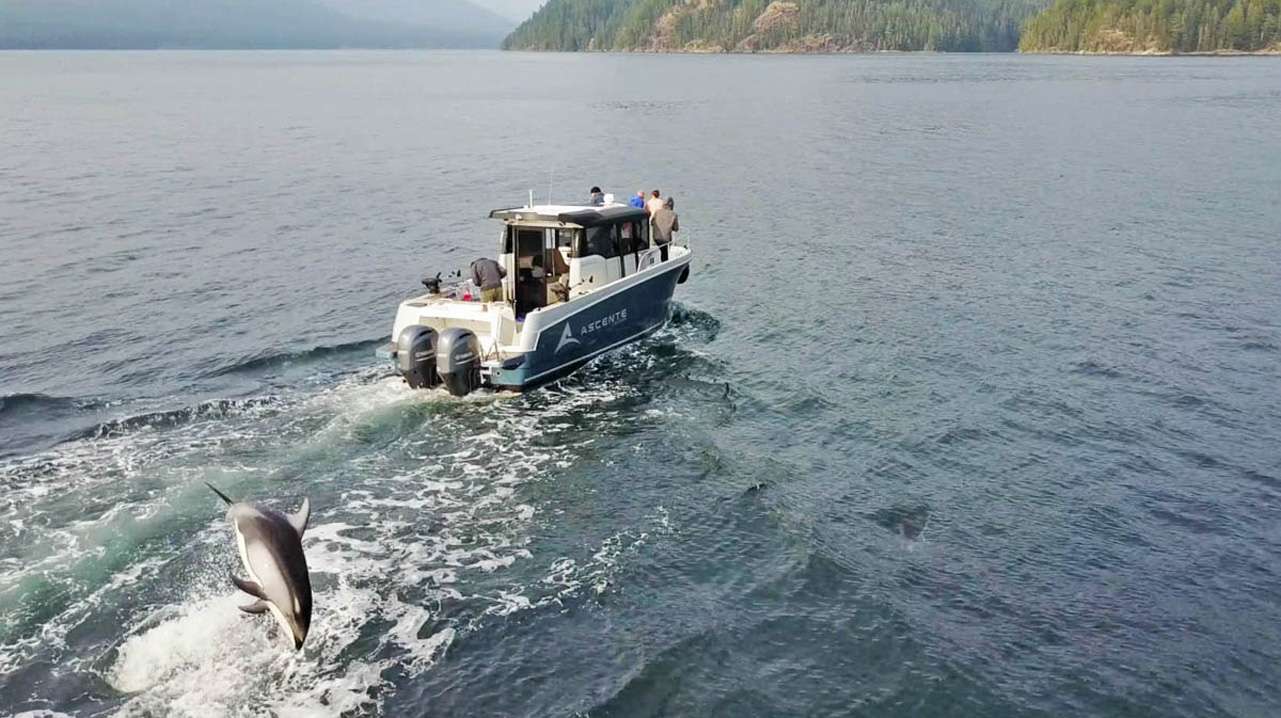
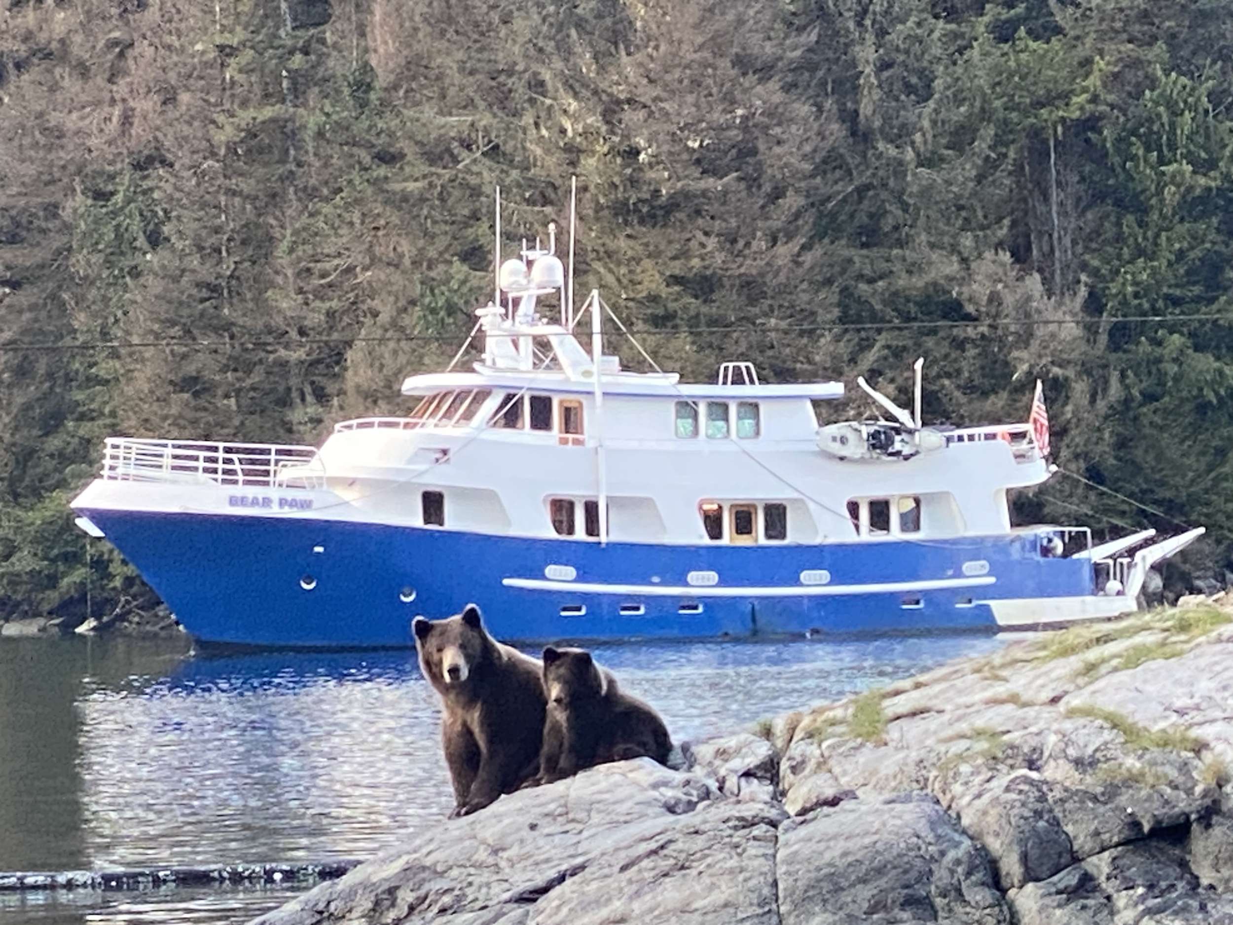
Frederick Sound between mid-May and late July is the only place in the world where humpback bubble-net feeding is reliably visible from a yacht — a coordinated group dive that pushes a school of herring to the surface, then the whales surfacing through the bait ball in a ring of open mouths. A good week sees four or five bubble-nets; the yacht hangs outside the regulated distance while the action runs. Brown bears at the salmon-stream mouths follow in late July and August at Pavlof Harbor, Anan Creek, and Pack Creek. Orca pods through the channels, Steller sea lions on the Brothers Islands haul-outs, bald eagles ubiquitous from Ketchikan north — the captain knows which week the wildlife calendar runs, and the trip is built around those dates.
South of Ketchikan, Misty Fjords National Monument runs for two-and-a-quarter million acres of granite-cliff fjords, cold-water rainforest, and waterfalls that drop a thousand feet straight off the cliff into Behm Canal. Rudyerd Bay and Punchbowl Cove are the marquee anchorages — the cliff walls close over the cove so completely that the sky is a slot above the masthead. A floatplane tour from Ketchikan flies guests over in forty-five minutes; the yacht delivers the same view at deck-level over a three-day passage, with bear-viewing at Anan Creek added in. The fjords were carved by the last ice age and have hardly been touched since.
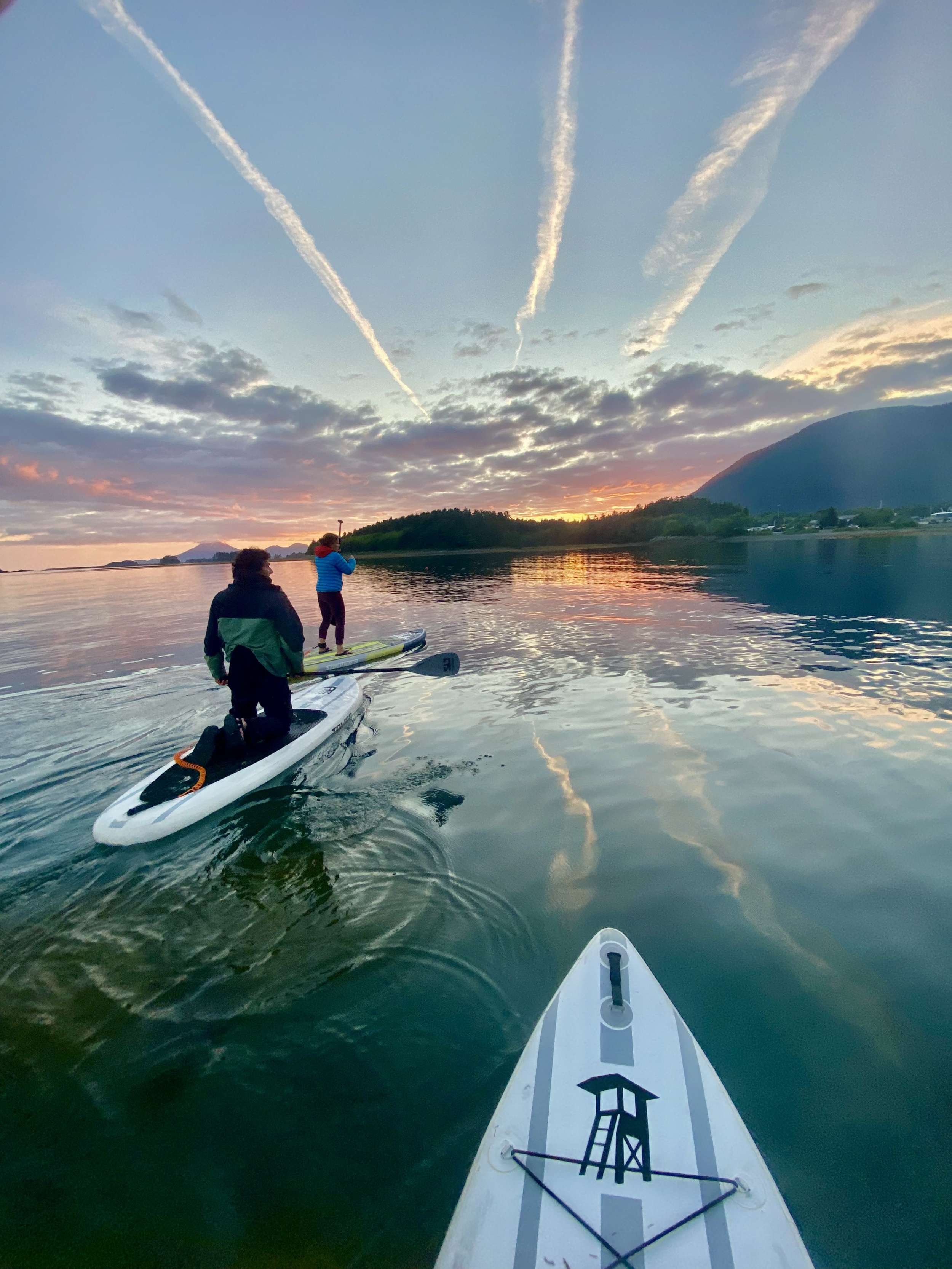
A hand-picked selection of crewed charter yachts for Alaska — yachts and crews we know firsthand.
Your week is shaped around your group's interests, the season, and the conditions on the water — your captain tailors the days as they unfold. Treat these itineraries as starting points for inspiration.
Crewed Itinerary · Alaska
If it's your first Alaska charter, this is the week we'd book. You board in Juneau, run north into Glacier Bay National Park on the yacht's permitted day, hold station off Tracy Arm's South Sawyer face while the ice cracks like rifle fire — and fill the days between with brown bears on the salmon streams and Steller sea lions on the haul-outs. It's the marquee Alaska for a reason, and it's better from a deck than from anywhere else on earth.
Most groups booking this route are repeat charterers who have done the Caribbean and the Mediterranean and want a week that runs at a different speed. The Glacier Bay permit is the gating constraint — the park caps private yachts at twenty-five a day from June through August, and the captain books the entry a year ahead. June through mid-August is the strongest window for daylight, water temperatures, and the wildlife calendar. The fleet is power-only: a small group of expedition motor yachts works the cruising ground from mid-May through mid-September, all built for cold-water cruising, all with the range to push from Juneau to Glacier Bay and back inside a week.
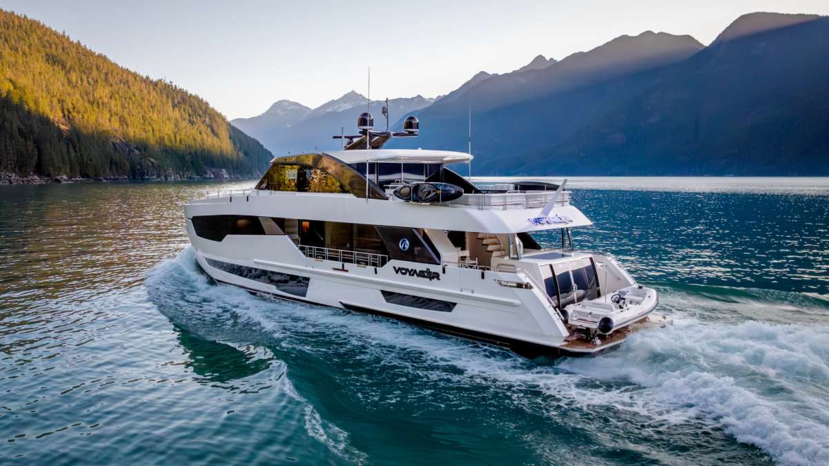
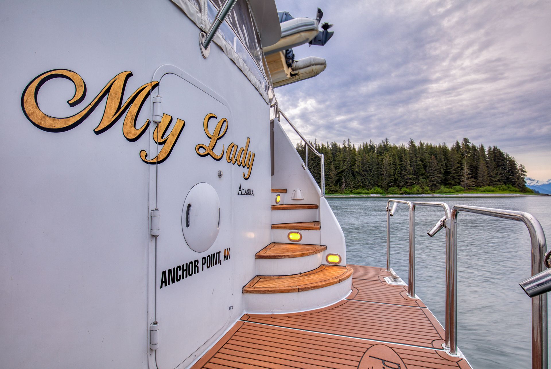
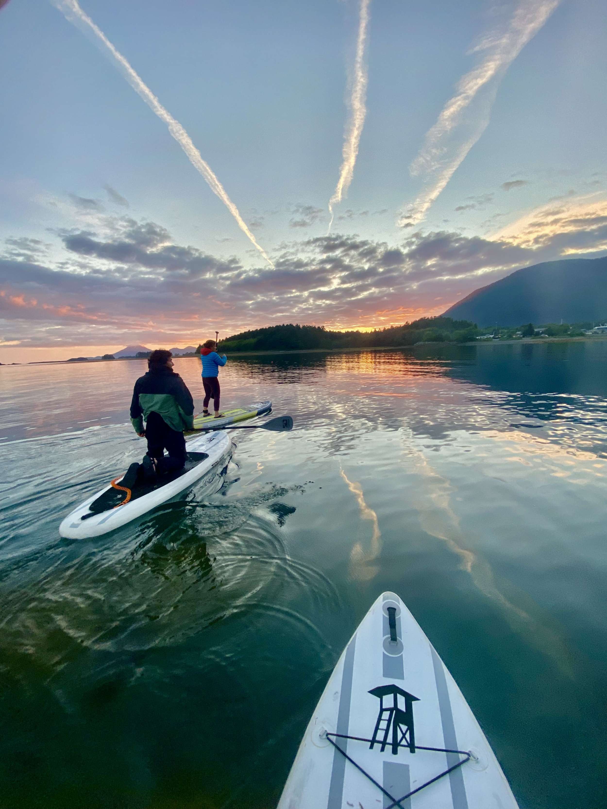
This is the Inside Passage with a Glacier Bay permit attached — Juneau, Funter Bay, Pavlof Harbor for the bears, Tracy Arm for the tidewater face at South Sawyer, the full Glacier Bay rotation on a permitted day, Reid Inlet for the overnight inside the park, and the wildlife pass at South Marble Island on the return. Roughly three hundred and twenty nautical miles over seven nights, with the longer days running thirty to seventy nautical miles and the shorter ones inside one fjord system.
It is the right first Alaska charter for guests who want the marquee stops in one week — glacier face, humpback channel, brown bears, the park itself. If the brief is wildlife-heavy and the dates fall in late May through mid-July, the Frederick Sound and Humpback Wildlife route trades the Glacier Bay permit for bubble-net feeding density. If the brief leans toward southern Alaska with a smaller draft and less park-day rigidity, the Misty Fjords route runs from Ketchikan. The captain shapes the day-by-day around the permit date and the weather; the structure below is the standard frame.
Day 1 of 7 · Juneau → Funter Bay
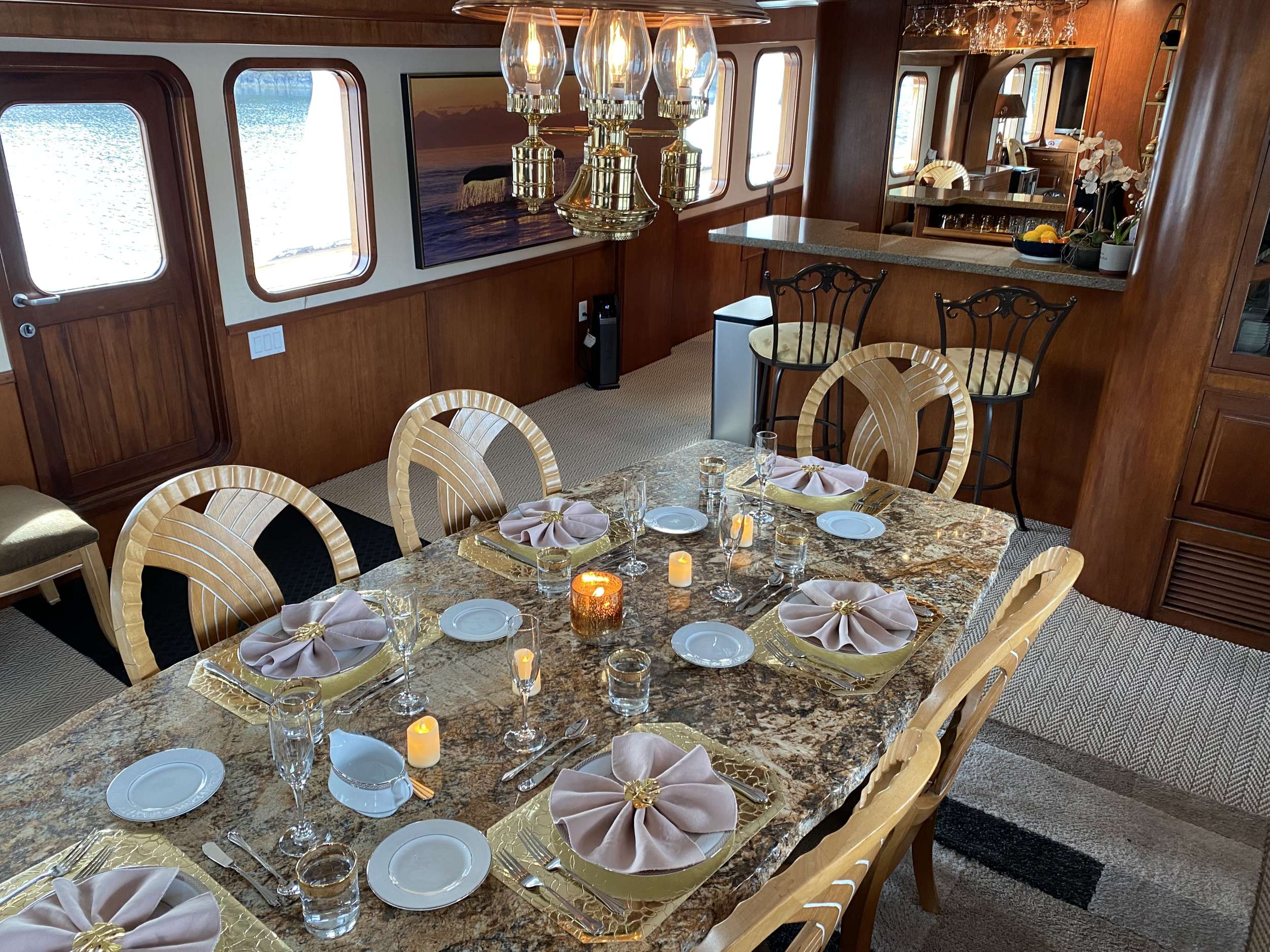
The charter begins in Juneau, the state capital and the only US state capital not reachable by road. Crew meet the group at the marina — most yachts work out of Aurora Harbor or Statter Harbor at Auke Bay, fifteen minutes north of downtown — with hot drinks and the chart briefing once luggage is aboard. Provisions for the week are squared away in advance; the chef walks through the food brief and any guest allergies before lines come off.
The opening leg is short by design. Lines off mid-afternoon for a thirty-nautical-mile northwest run across Stephens Passage and around the north end of Admiralty Island into Funter Bay. Stephens Passage is one of the most reliable humpback corridors in southeast Alaska — a transit-day sighting of a feeding humpback or a passing pod is common in June and July. The yacht runs at twelve knots; the channels are deep enough that the route doesn't require chart navigation in the day's strongest sense, but the captain stays on the bridge for the wildlife windows.
Funter Bay closes the first day with a protected anchorage on Admiralty Island's northwest shore. Admiralty itself holds one of the densest brown bear populations on Earth — the Tlingit name for it, Kootznoowoo, means 'fortress of the bears' — and the surrounding Tongass forest reaches straight to the waterline. Dinner aboard at anchor; the long northern twilight stretches past 11pm in mid-June, with civil light enough to read on the aft deck.
Day Highlights
Day 2 of 7 · Bear-viewing day
Morning at anchor in Funter Bay — breakfast on the aft deck, mist on the water, mountain goats sometimes visible high on the western ridge. Lines off mid-morning for the thirty-five-nautical-mile run northwest across Icy Strait and into Pavlof Harbor on the eastern shore of Chichagof Island. Icy Strait is one of the higher-density humpback channels in the region; the route stays slow through the strait, with the bridge watching for surface activity.
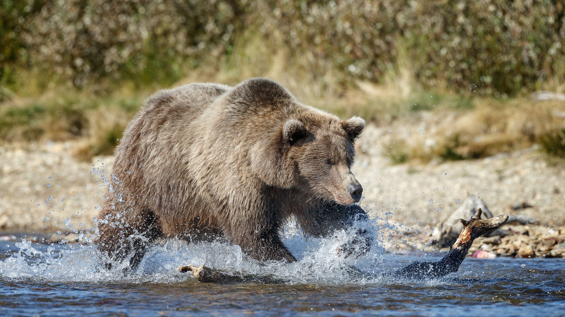
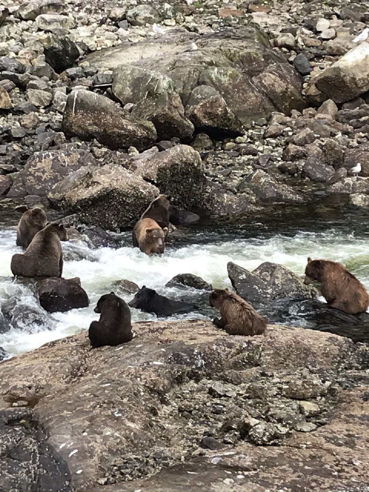
Pavlof Harbor is the marquee bear-viewing stop in northern southeast Alaska — a protected anchorage at the foot of a salmon stream that runs a quarter-mile inland to a set of low falls. From mid-July through August, the pink-salmon run stacks at the falls, and the brown bears come down to the river to feed. The yacht anchors in the harbor a few hundred meters off the stream mouth; the tender lands at the beach, and a short walk on the boardwalked Forest Service trail reaches the falls viewing area. Distance from the bears is maintained at the Forest Service-mandated minimum.
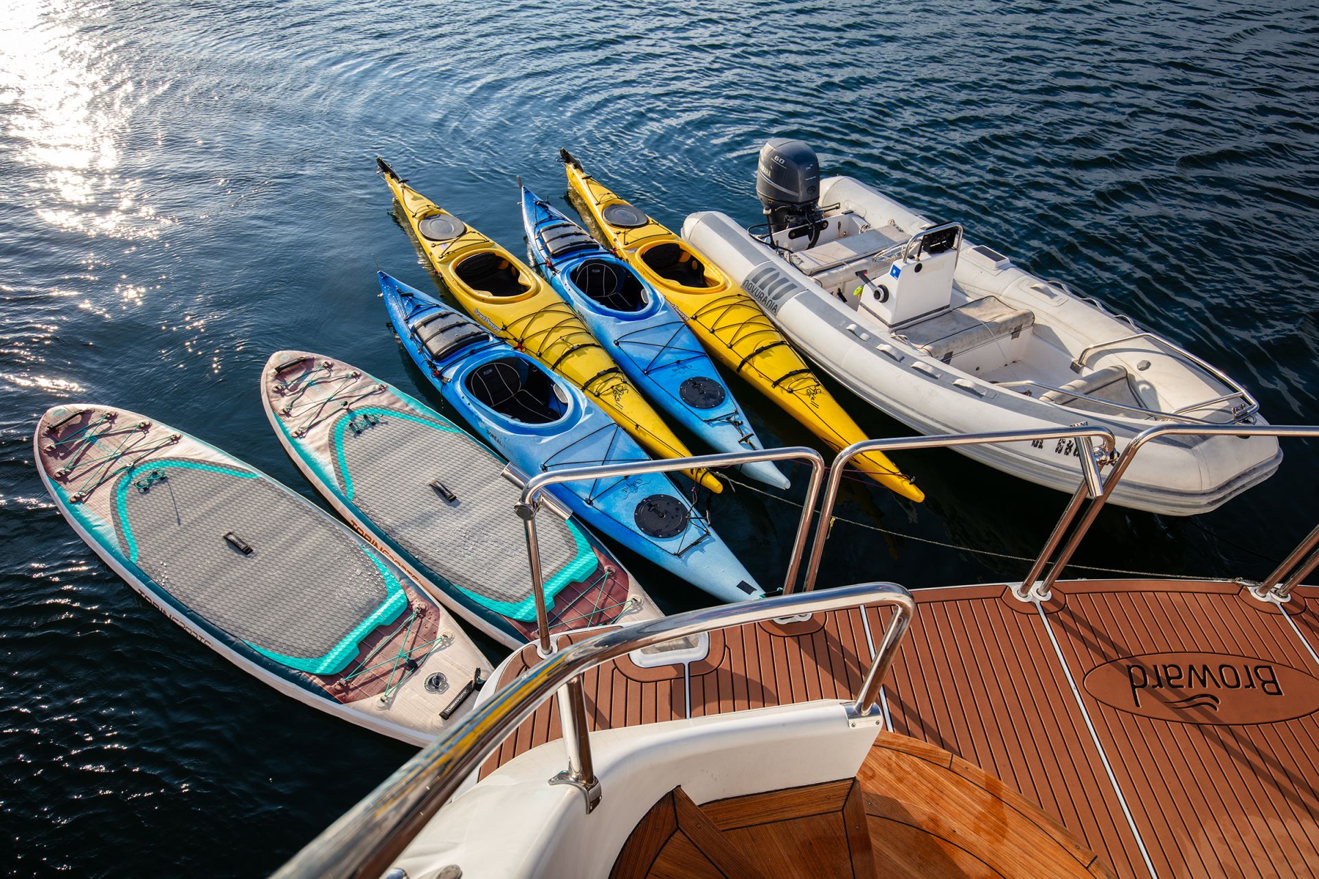
Bears, eagles, and sometimes wolves work the same waterway — Chichagof is one of the few places where the ABC Islands' brown bear population overlaps with active wolf packs. The captain reads the conditions before authorizing the shore landing; on quieter days the bears feed for hours within view of the platform. Back to the yacht for lunch, afternoon at anchor with paddleboards down for the protected upper harbor, dinner aboard. Overnight at anchor; the bay is sheltered on all sides.
Day Highlights
Day 3 of 7 · Tidewater glacier day
Pavlof off the stern by mid-morning; fifty nautical miles southeast across Stephens Passage, around Five Finger Lighthouse, and into the mouth of Tracy Arm. The lighthouse — built in 1902 and the last manned light in Alaska before automation in 1984 — sits on a rock at the entrance to the arm's wider system. Frederick Sound opens south from here; Tracy Arm climbs east. The captain's call on timing matters: the tidal current at the bar at the fjord's mouth runs hard, and the entry is timed to the slack window.
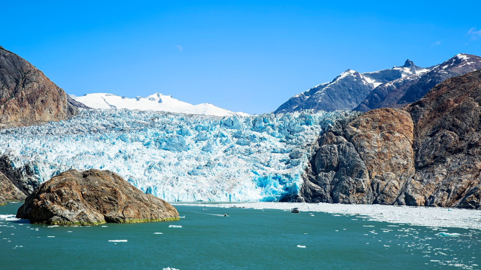
Inside Tracy Arm the fjord runs thirty nautical miles between two-thousand-foot granite walls, narrowing as it climbs toward the two glaciers at its head. The shore is jet-black slate and bare granite; cascades drop from the upper rim every few hundred meters. Halfway up, the South Sawyer face opens off the right side. The yacht idles in to a half-mile off and shuts engines. The morning runs silent except for the work of the ice: the rifle-shot crack when a column lets go, the wash when it hits the water, the harbor seals hauled out on the floe ice between the yacht and the wall. The water in the fjord is turquoise from the glacial silt; the air is thirty degrees cooler than the open channel.
After an hour the yacht moves another mile up to the smaller Sawyer face, then turns and runs back out for the overnight. Most charters anchor in Tracy Arm Cove just outside the bar or in the Wood Spit anchorage near the mouth — the captain picks the calmer of the two depending on the wind. Dinner aboard. The northern twilight runs late; the entry walls of the fjord stay lit until midnight at solstice.
Day Highlights
Day 4 of 7 · Park entry day
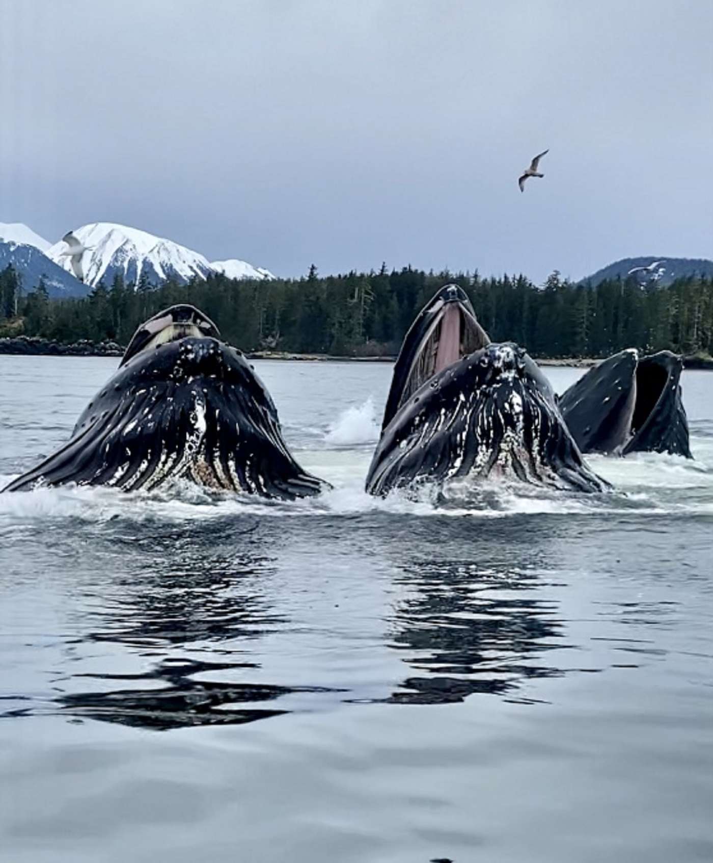
The longest leg of the week — eighty nautical miles northwest from the Tracy Arm mouth across Stephens Passage, through Icy Strait, and into the mouth of Glacier Bay at Bartlett Cove. The crossing takes a full day at twelve knots; the route stays inside protected water the whole way, with two open-water exposures of less than ten miles. Icy Strait is the marquee transit-day window — the strait runs one of the densest humpback populations in southeast Alaska, and the captain slows the yacht through the strait's choke points if a feeding cohort is on the surface.
Bartlett Cove sits at the southern end of Glacier Bay National Park, at the foot of the largest protected coastal wilderness in the country. The park covers 3.3 million acres of water, ice, and forest; the bay itself runs sixty-five nautical miles north from the cove to the tidewater glaciers at its head. Bartlett Cove is the park headquarters — the ranger station, the visitor center, and the dock where the captain checks in on the morning of the permitted day. The check-in covers the day's vessel-traffic count, the whale-zone speed restrictions in effect, the active wildlife reports, and any closures from the park's seasonal calendar.
Most charters arrive at Bartlett Cove the evening before the permitted day and overnight on the public dock or at anchor in the cove. Dinner aboard. The forest around Bartlett Cove is one of the oldest hemlock-spruce stands in the park — three hundred years since the last glacier retreated past this point — and the visitor center is open into the evening if guests want to walk the loop trail before nightfall.
Day Highlights
Day 5 of 7 · The Glacier Bay permit day
The permitted day is the marquee day of the week. The captain registers with the ranger at Bartlett Cove at the morning's briefing window, the day's vessel-traffic count and whale-zone advisories go on the chart, and the yacht is on the water inside the park by mid-morning. The park's two-knot speed restriction inside whale zones is in effect from June through August across most of the bay's mouth; the captain runs it as a matter of course.
The main run north is fifty nautical miles up the bay's western arm to Tarr Inlet at the head, where the Margerie Glacier sits. The bay opens as the yacht climbs — Sitakaday Narrows, the South Marble wildlife shoals, the Russell Cut, then the long final straightaway with the Fairweather Range on the western horizon. The Margerie's face is roughly a mile wide and two hundred fifty feet high above the water; the boats position a half-mile off, kill the engines, and the inlet runs silent the way Tracy Arm does. Calving on the Margerie is more frequent than at South Sawyer — the face is more active — and the floe ice in front carries harbor seals and the occasional black oystercatcher. A mile west of the Margerie, the Lamplugh Glacier's blue ice runs straight to the water from the Brady Icefield above; the captain typically swings the yacht past it on the way back south.
The afternoon move is fifteen nautical miles back south into Reid Inlet — the side branch off the western arm, with the Reid Glacier at the head and a holding-ground anchorage in front of it. The captain's preferred overnight inside the park: protected, glacier-fronting, and one of the few inlets where the park permits overnight anchorage. Dinner aboard at anchor, the Reid face visible from the saloon windows. The Reid is a retreating glacier — its face has pulled back several hundred meters since the 1990s — and at low tide the recently-uncovered shore in front is bare granite and silt.
Day Highlights
Day 6 of 7 · Wildlife day
Morning at anchor in Reid Inlet — breakfast on the aft deck, the Reid face still close enough to hear if a column lets go. Lines off mid-morning for the run south back down the western arm and across to South Marble Island. South Marble is the eastern-side wildlife stop of the park: a seabird colony on the rocks, tufted puffins and common murres nesting on the cliffs, and a Steller sea lion haul-out on the southwestern point. The boats stand off at the regulated distance — the haul-out is part of the park's protected sea lion rookery — and the deck is loud with the colony from a quarter-mile off.
From South Marble the route runs forty nautical miles south back toward Bartlett Cove. The bay closes around the yacht the way it opened the previous morning, only with the Fairweather Range now behind the stern. Whale activity in the lower bay is common in late June and July — humpbacks return to the bay's mouth in May after wintering off Hawaii and Mexico, and feeding pods are routinely visible on the main channel. The captain shapes the day around the wildlife windows; if the haul-out at South Marble is closed by surge or the whales are stacked along the eastern shore, the route adjusts.
By late afternoon the yacht is back at the Bartlett Cove dock or anchored just outside the park boundary at the cove's mouth. The permitted day expires at park closing; the captain re-signs the day's log with the ranger and the yacht is technically out of the park overnight. Dinner aboard; the long twilight makes the last hour on the aft deck part of the day's program rather than the wind-down.
Day Highlights
Day 7 of 7 · Return passage
The final full day of cruising — ninety nautical miles east from Bartlett Cove back across Icy Strait and Chatham Strait to a closing anchorage somewhere in the Funter Bay or Saginaw Channel area. The captain picks the stop based on weather and the morning's disembarkation logistics. If the weather window allows it, a Funter Bay overnight is the canonical close: protected, ringed by Tongass forest, the same anchorage the first night opened in. If weather pushes the yacht east of Admiralty, a Saginaw Channel side cove is the alternative.
Icy Strait on the return runs the same humpback density as the outbound — sometimes more, depending on how the feeding pods have moved through the week. The captain holds slow watch through the strait's choke points; an end-of-week pass through a feeding cohort is more common than not in the late-June-through-July window. The afternoon route off Point Augusta and into Chatham Strait covers some of the most productive whale-watching water in the region — Auke Bay Whale Photo, the long-running citizen-science project, logs three to four hundred individual humpbacks in this stretch of water in any given summer.
The closing evening on the aft deck runs longer than the rest of the week. The twilight stretches past 11pm at solstice; the chef tends to plan the closing dinner with the week's catch in mind, and the captain runs through the trip's wildlife log over coffee after. Most charters book Alaska as a multi-year trip — guests who run the Inside Passage this year usually return for Frederick Sound or Misty Fjords in a subsequent season.
Day Highlights
Day 8 · Departure
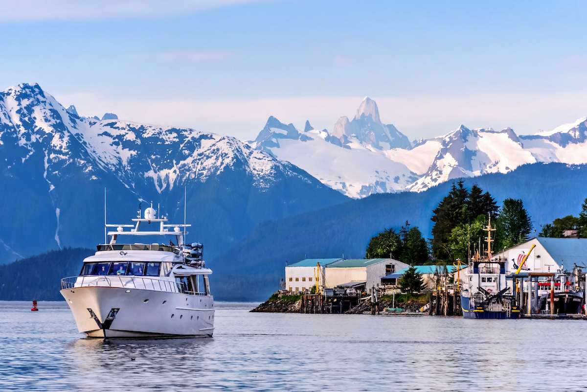
Breakfast aboard, luggage off, and a straightforward transfer to JNU. From Auke Bay or Aurora Harbor the airport is fifteen to twenty minutes by car; the crew handles the move, with pre-booked private transfers for groups with afternoon flights. Direct flights to Seattle (SEA) run multiple times daily on Alaska Airlines; from there onward connections to most US hubs are single-flight days.
The Alaska week ends the way it usually reads best — full, mileage-heavy, and quieter than guests expected before they booked. Most groups that run this route come back for the Frederick Sound wildlife week on a subsequent trip; the captain typically walks through the second-charter option before the group disperses.
Want to share or come back to this voyage later?
Bookmark this voyage →Crewed Itinerary · Alaska
This is the Alaska trip your friends haven't had. Frederick Sound is the only place on earth where humpback bubble-net feeding is reliably visible from a yacht — and for a few weeks each early summer, you can watch a dozen whales surface through a bait ball in a ring of open mouths, close enough that the spray carries. The week is built around that window: bubble-nets and the Brothers Islands haul-outs early, the Dawes Glacier face midweek, bears at Pavlof Harbor and a hot-spring soak at Baranof Warm Springs to close.
Most groups booking this route are wildlife travelers who have done the East Africa Big Five week or the Galapagos and want the marine-mammal version. Frederick Sound is the only place in the world where humpback bubble-net feeding is reliably visible from a yacht — the coordinated group-feeding behavior pushes a school of herring to the surface, then the whales surface through the bait ball in a ring of open mouths. A good June or July week sees four or five bubble-nets across the trip, plus brown bear viewing, Steller sea lion haul-outs, orca pods, and the running glacier face at Dawes. The route trades the Glacier Bay permit for wildlife density; for guests whose week is built around what they want to see rather than where they want to anchor, that is the right trade.
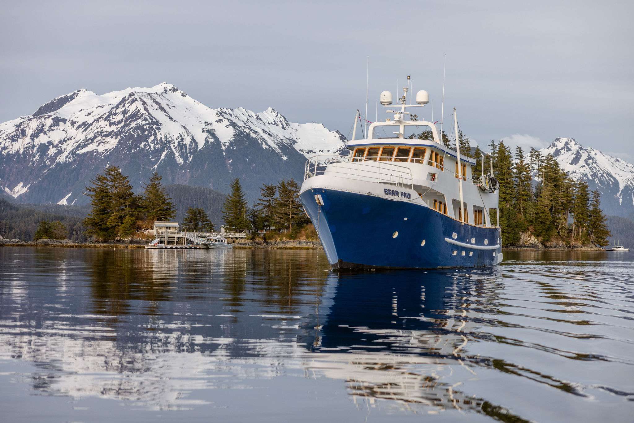
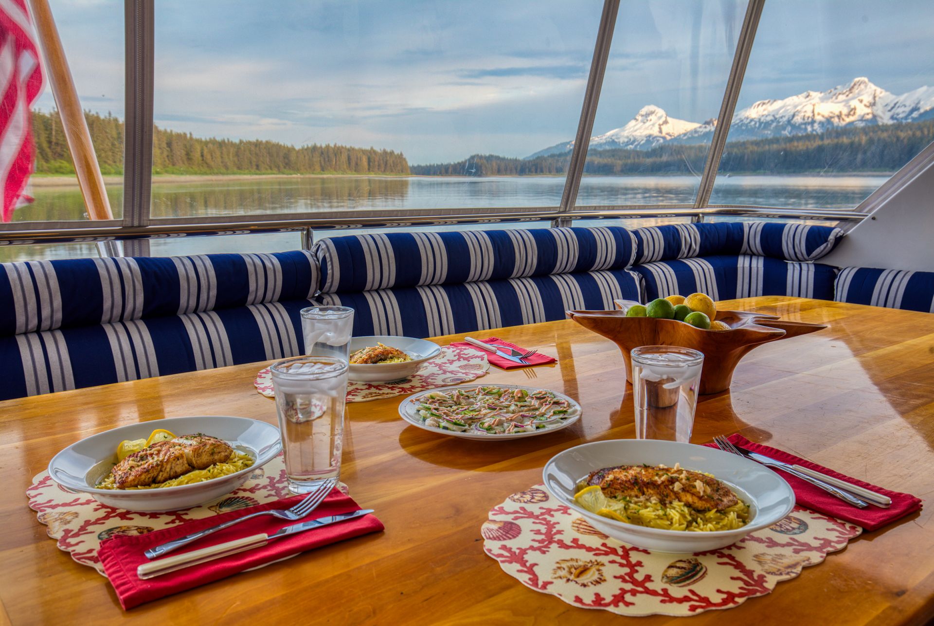
This is Frederick Sound with the Brothers Islands haul-out, Endicott Arm and the Dawes Glacier, Pavlof Harbor for the bear stack-up, and a Baranof Warm Springs hot-spring close — two hundred and eighty nautical miles over seven nights, with most days running thirty to forty nautical miles inside the protected channels of central southeast Alaska. The route's gating constraint is timing rather than permits: late May through mid-July is the only reliable window for bubble-net feeding behavior, and dates lock in early.
It is the right Alaska charter for wildlife-driven groups, milestone family trips with teenagers along, and guests who have done the Inside Passage route and want a second Alaska week structured differently. If the brief is the marquee Alaska brand-recognition photographs — Glacier Bay, Tracy Arm — the Inside Passage route is the stronger fit. If the brief leans south with less park rigidity and more granite-fjord geography, the Misty Fjords route from Ketchikan is the answer. The captain shapes the day-by-day around the bubble-net activity reports and the bear-stream timing; the structure below is the standard frame.
Day 1 of 7 · Petersburg → Five Finger
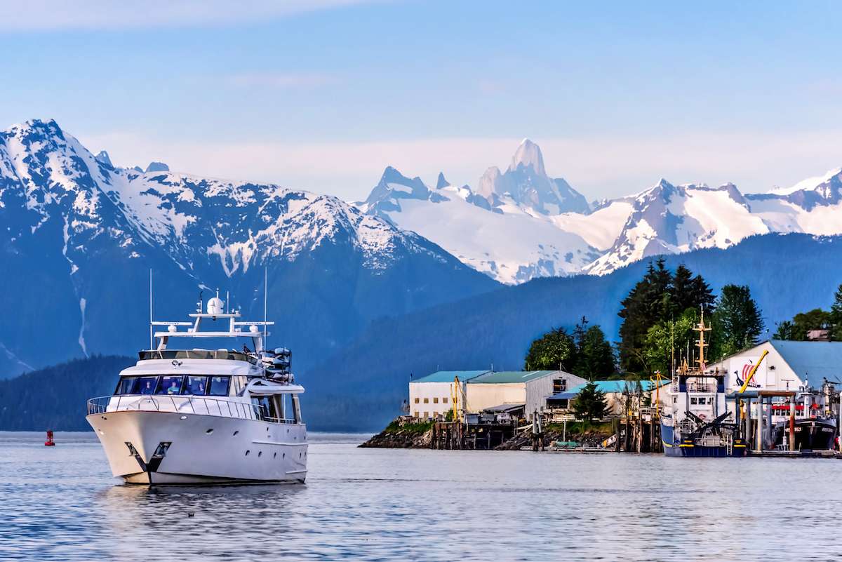
The charter begins in Petersburg, a working fishing town at the northern end of Mitkof Island and one of the cleanest small ports in southeast Alaska. The town was founded by Norwegian immigrants in 1897 — the architecture is still Scandinavian on the central streets, and the harbor runs three hundred commercial fishing boats year-round. Crew meet the group at North Harbor or South Harbor depending on which dock the yacht is on, with hot drinks and the chart briefing once luggage is aboard. Petersburg's grocery and provisioning infrastructure is the strongest of the small embarkation ports — the chef typically does a final-day produce run before guests board.
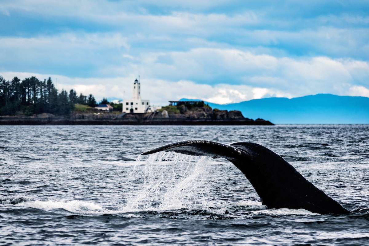
The opening leg is short by design. Lines off mid-afternoon for a twenty-five-nautical-mile run northwest across the head of Frederick Sound to the Five Finger Lighthouse roadstead. The lighthouse — a square white-and-red tower built in 1902 — sits on a rock at the strait split between Frederick Sound (running southeast back toward Petersburg) and Stephens Passage (running northwest toward Juneau). Both channels run heavy humpback density in the early summer; the staging anchorage at Five Finger puts the yacht in the wildlife-rich corner of the system for the morning's start.
Dinner aboard at anchor. The bridge crew typically deploys the hydrophone on the first night — listening for the long, descending humpback vocalizations through the hull's underwater speaker is part of the trip's standard rhythm from the opening evening. The northern twilight runs late: the sun sets after 10pm at solstice, with civil light enough to read on the aft deck until past midnight.
Day Highlights
Day 2 of 7 · The bubble-net day
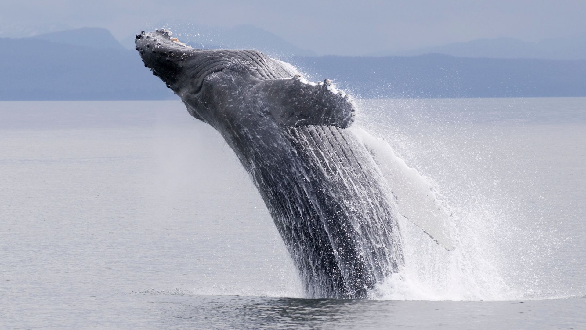
The marquee day of the week, and the one the trip is timed around. Morning at anchor below Five Finger, breakfast on the aft deck, the hydrophone live the whole way. The first surface activity usually shows up in the first hour after lines off — humpback blows visible against the morning fog from a mile off. The captain reads the surface pattern (single animals, paired animals, or grouped cohorts), the hydrophone's vocalizations, and the surface-current direction, and positions the yacht outside the regulated hundred-yard zone of the feeding center.
Bubble-net events build through the morning into the afternoon. The pattern: a feeding cohort of four to twelve animals descends together on a herring school, then the lead whale exhales a rising circle of bubbles to drive the school upward against the bubble wall. The cohort rises through the trapped bait ball with open mouths — a few hundred pounds of herring through each mouth in a single push — and the surface event runs ten to fifteen seconds before the whales submerge. A good day sees three to five bubble-nets, plus paired and solitary feeding animals between the cooperative events.
The yacht spends the day in slow drift through the central Frederick Sound feeding zone — east of Five Finger, in the band between Admiralty Island and the Hugh-and-Tom rocks. The captain repositions on each event but keeps the engines slow; the bridge is in radio contact with the regional whale-research vessels through the day. Late afternoon turn into Spasski Bay on the Admiralty side or one of the smaller Chichagof-side coves for the overnight. Dinner aboard at anchor.
Day Highlights
Day 3 of 7 · Sea lion haul-out day
Lines off mid-morning for the thirty-nautical-mile run north up Frederick Sound toward the Brothers Islands. The route stays in the wildlife-rich Admiralty side of the strait — the bridge watches for surface activity through the morning, and a mid-passage bubble-net stop is common. The Brothers themselves are two small forested islands a half-mile apart in the upper sound, with one of the densest Steller sea lion haul-outs in southeast Alaska on the rocks at the southern tip of the larger island.
The yacht stands off at the federally regulated distance — Stellers are an endangered species under the western population designation, and the haul-out is part of the official rookery network. From a quarter-mile off, the deck is loud with the colony: the bulls' deep barks, the cows and pups higher, the air thick with the smell of the haul-out. Most of the bulls run a thousand pounds; the bigger ones top eleven hundred. Eagles work the air above the rocks; black oystercatchers and harbor seals share the lower wave-cut platforms.
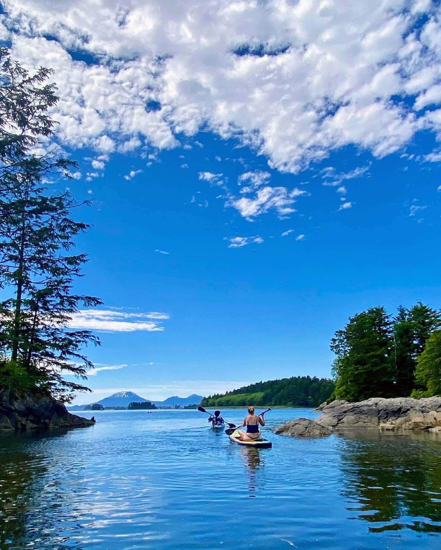
Afternoon turn west across the upper Frederick Sound into Pybus Bay on Admiralty's southern shore — one of the larger protected bays on the island, with a shoreline-to-water transition of pure Tongass spruce and a forest service trail running back from the inner cove. Kayaks deploy from the swim platform; the bay's protected inner sections handle a two-hour paddle with no commercial-vessel traffic to read for. Dinner aboard at anchor. Pybus is a quieter close to the wildlife-density middle of the trip.
Day Highlights
Day 4 of 7 · Tidewater glacier day
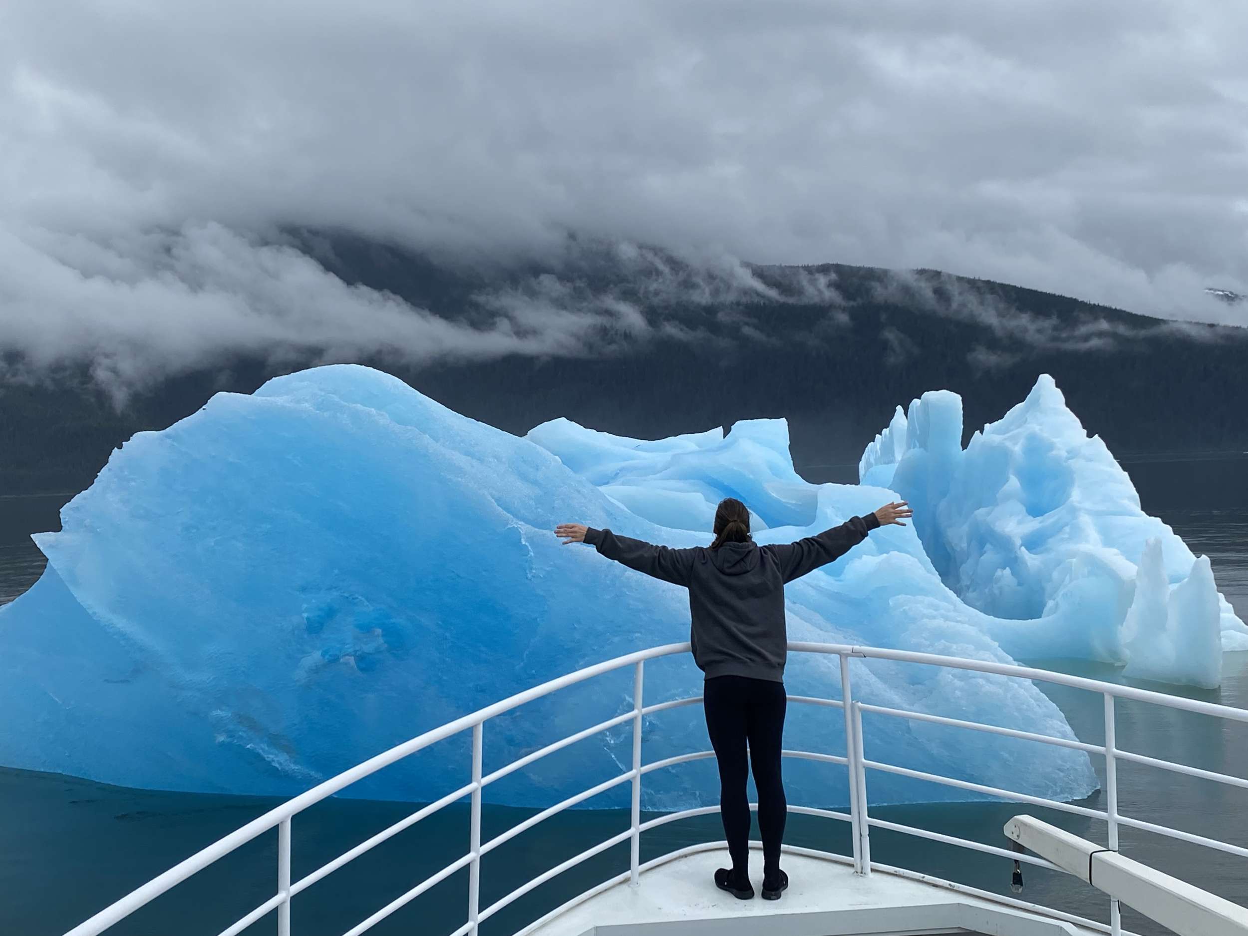
Morning at anchor in Pybus Bay — breakfast on the aft deck, the day's chart pre-cast for the run to Endicott Arm. Lines off mid-morning for the forty-nautical-mile run east across Stephens Passage and into the southern of the two long fjords that climb east from the Inside Passage toward the Coast Range. Endicott Arm is the sister system to Tracy Arm thirty miles north — same scale of granite-wall geography, same tidewater glacier at the head, fewer day-tour boats and less traffic on the bar at the mouth.
Inside the arm the route runs thirty nautical miles east between two-thousand-foot granite walls. The shore is bare granite and slate; cascades drop from the upper rim; harbor seals haul out on the floe ice in front of the glacier face. At the head of the arm the Dawes Glacier opens off the right side — a mile-wide tidewater face roughly two hundred feet high above the water. The yacht idles in to a half-mile off the face and kills the engines. The afternoon runs silent except for the work of the ice: the rifle-shot crack when a column lets go, the wash when it hits the water, the harbor seals shifting on the floes.
After an hour the captain runs the yacht slowly along the face — staying outside the regulated distance from the calving zone — and then turns and runs back out for the overnight. The standard anchorage is Wood Spit just outside the bar, the same spot the Tracy Arm route uses thirty miles north. Dinner aboard at anchor. The fjord walls stay lit by the northern twilight until past midnight at solstice; the cabin from the saloon shows the entry walls in the long light.
Day Highlights
Day 5 of 7 · Brown bear day
Lines off mid-morning from Wood Spit for the fifty-five-nautical-mile run northwest across Stephens Passage, around the north end of Admiralty Island, and across Icy Strait into Pavlof Harbor on the eastern shore of Chichagof Island. The route's longest single passage, and the day the wildlife focus shifts from marine mammals to bears. Icy Strait's humpback density is high through the run — the bridge watches for surface activity on the way, and a mid-passage feeding stop is common in the late-June-into-July window.
Pavlof Harbor is the marquee brown bear stop on the route — a protected anchorage at the foot of a salmon stream that runs a quarter-mile inland to a set of low falls. From mid-July through August, the pink-salmon run stacks at the falls, and the brown bears come down to feed. The yacht anchors in the harbor a few hundred meters off the stream mouth; the tender lands at the beach, and the boardwalked Forest Service trail reaches the falls viewing area in fifteen minutes. The distance from the bears at the platform is maintained at the federally mandated minimum.
Bears, eagles, and sometimes wolves work the same waterway — Chichagof Island carries one of the densest brown bear populations on Earth, and the falls bring the population concentrated to the run for weeks at a time. The captain reads the conditions before authorizing the shore landing. On a quieter day the bears feed for hours within view of the platform; on a busier day the platform itself is full and the timing matters. Back to the yacht for lunch, afternoon at anchor with paddleboards down for the protected upper harbor, dinner aboard. Overnight at anchor.
Day Highlights
Day 6 of 7 · Hot-spring close
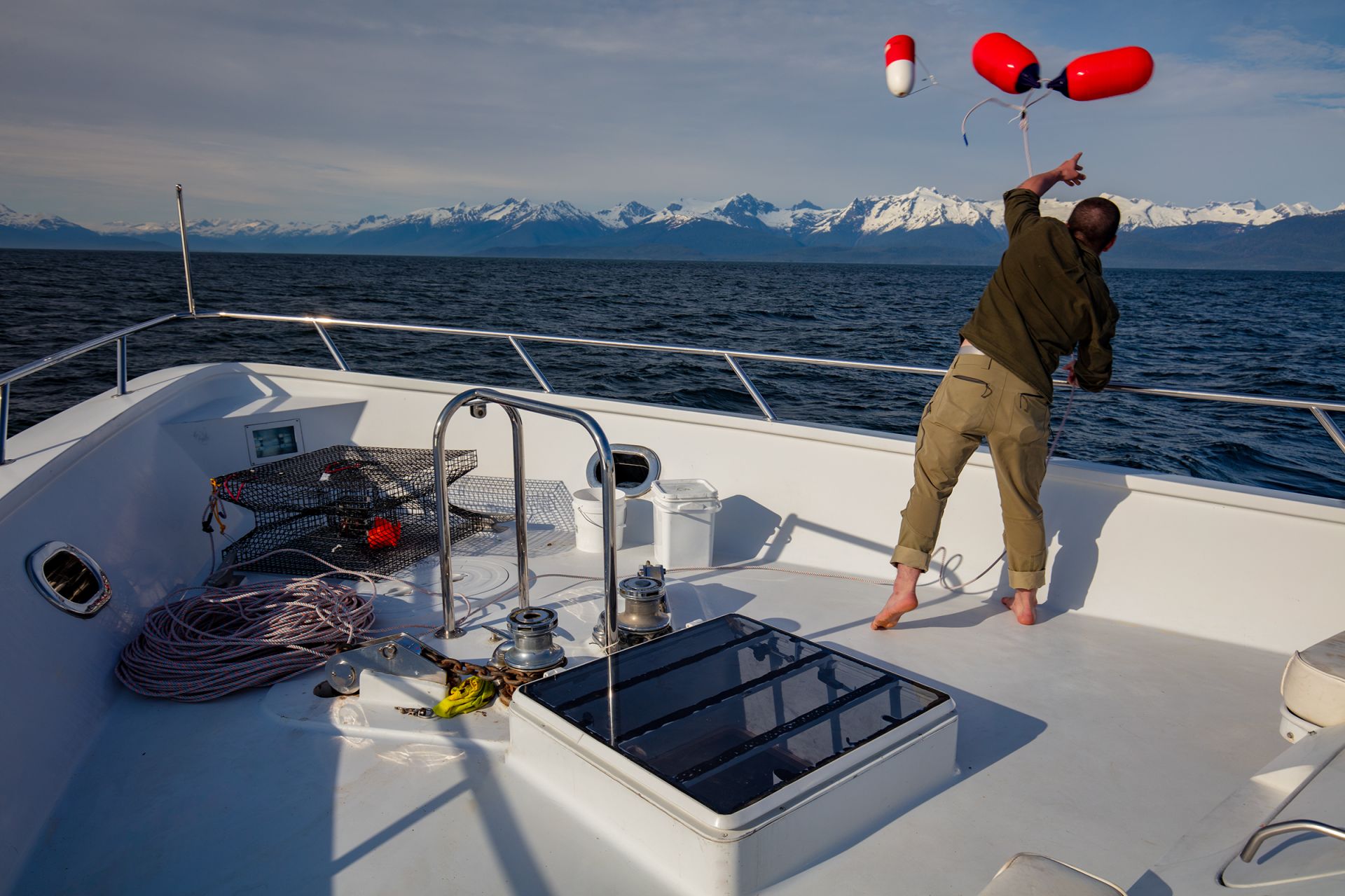
Lines off mid-morning from Pavlof for the forty-five-nautical-mile run southwest down Chatham Strait to the eastern shore of Baranof Island. The day shifts the trip's register from wildlife-density toward a slower close. Chatham Strait runs three hundred fifty meters deep down the middle — the deepest channel in southeast Alaska — and the geology around the run shifts from the Admiralty-Chichagof forest patterns to Baranof's higher-relief volcanic terrain. The Coast Range opens to the east; the Tongass spruce gets denser on the slopes.
Baranof Warm Springs sits at the head of Warm Springs Bay — a small protected cove on Baranof's eastern shore with a public dock, a handful of seasonal residences, the falls dropping a hundred feet from the lake above the bay, and three small hot-spring cabins on the boardwalk above the dock. The yacht ties to the public dock or anchors out in the bay depending on conditions; tender ashore for the trail to the natural pools above the falls. The pools sit a quarter-mile up the boardwalk; the water runs hot enough to soak through to the bones after a day of layered shoreside cold.
Afternoon back to the yacht for the slower close to the week — paddleboards down in the bay, the chef working on the closing dinner, the captain reading the chart for tomorrow's run back to Petersburg. The bay is quiet enough that the saloon evenings here are part of the program rather than the wind-down. Overnight at the dock or at anchor in the bay.
Day Highlights
Day 7 of 7 · Return run
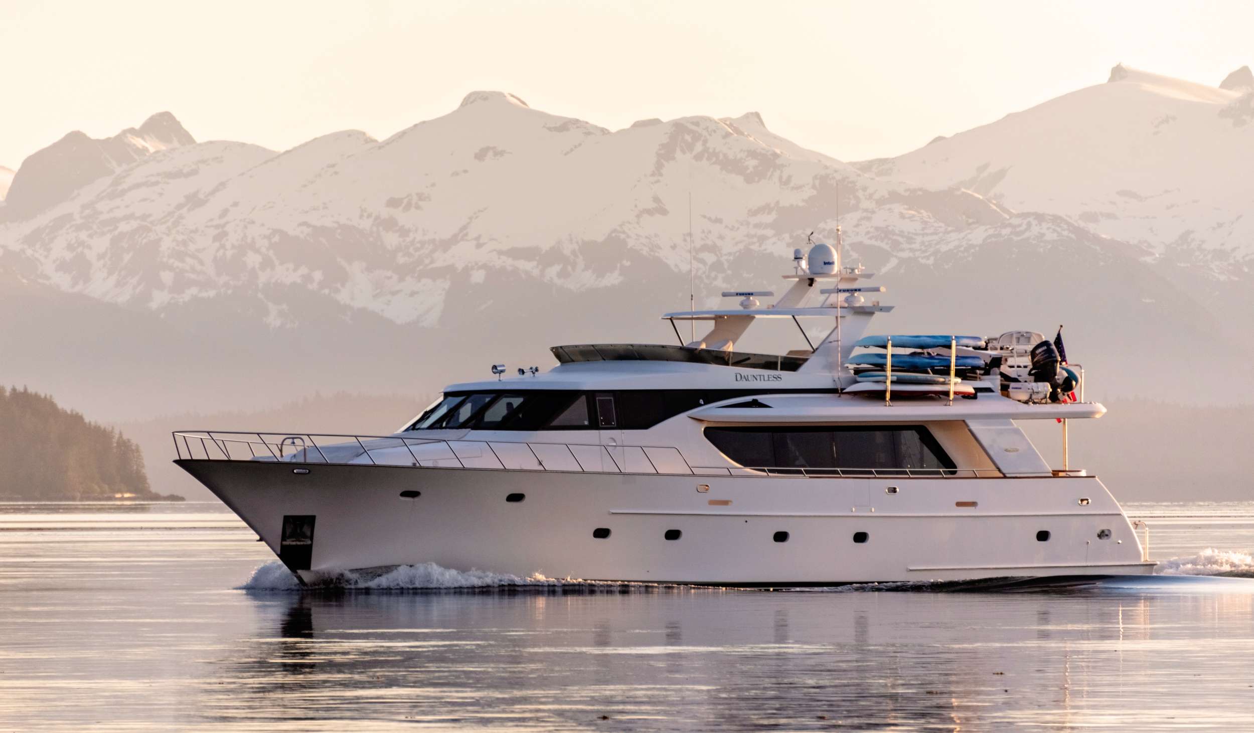
The final cruising day. Lines off mid-morning from Warm Springs Bay for the fifty-five-nautical-mile return run east across Chatham Strait, into Frederick Sound, and south back toward Petersburg. The route's last whale-watch windows run through the morning — Frederick Sound holds humpback density through the back half of the season, and a transit-day bubble-net or feeding event is common into late July. The captain holds slow watch through the central Sound on the return.
By late afternoon the yacht is closing on Mitkof Island and the approach to Petersburg's North Harbor. The captain shapes the final-evening anchorage based on the morning's departure logistics — most charters tie the yacht at the marina for the closing night so the morning's transfer is short, but a final at-anchor evening in the lee of Mitkof is the alternative if the group's flights run later in the day.
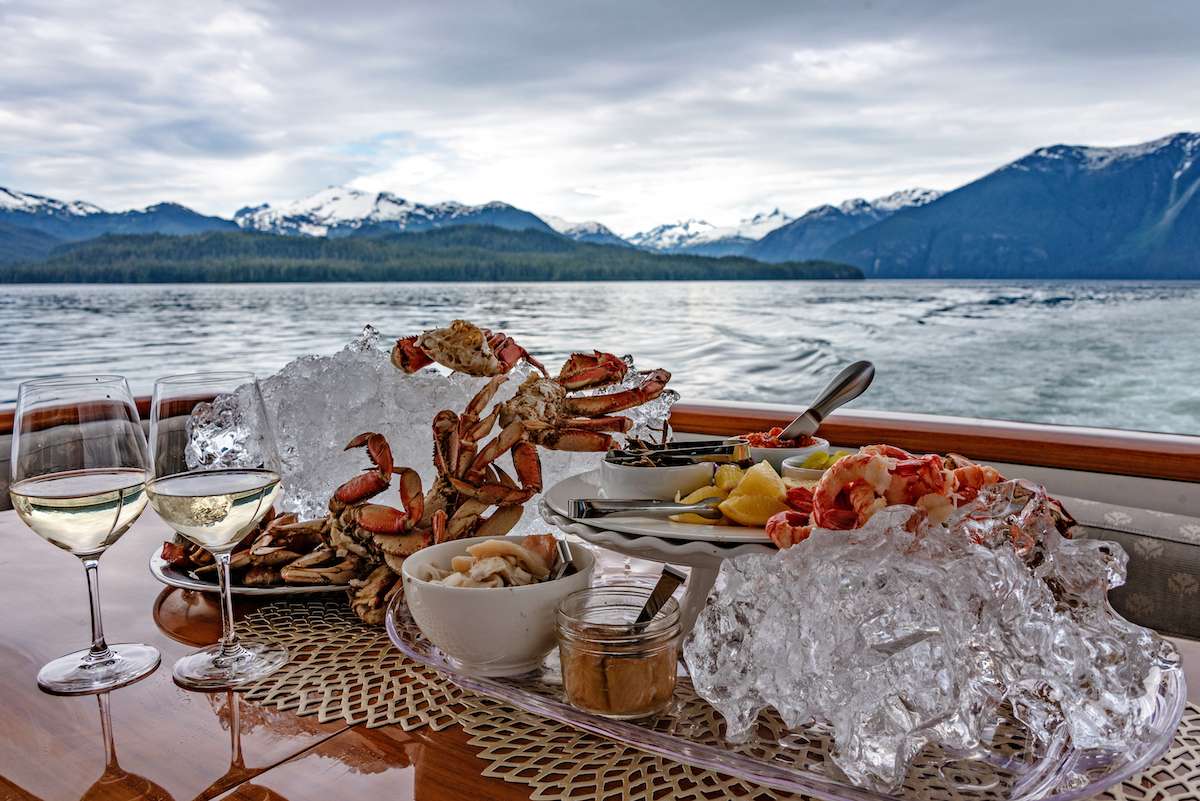
Closing dinner aboard. The chef's plating tends to lean on the week's catch — Frederick Sound halibut, Chichagof spot prawns, the pink salmon from the Pavlof run — and the captain runs through the trip's wildlife log over coffee after. Most charters book Alaska as a multi-year trip — guests who run the Frederick Sound route this year usually return for the Inside Passage and Glacier Bay route in a subsequent season.
Day Highlights
Day 8 · Departure
Breakfast aboard, luggage off, and a straightforward transfer to PSG. The airport is five minutes from North Harbor by car; the crew handles the move, with pre-booked private transfers for any flights with restricted timing. Petersburg connects daily to Juneau (JNU) and on most days direct to Seattle (SEA) on Alaska Airlines; from Seattle onward connections are single-flight days to most US hubs.
The wildlife week ends the way it usually reads best — the trip's strongest memories are out on the water rather than ashore. Most groups that run this route come back for the Inside Passage and Glacier Bay charter on a subsequent trip; the captain typically walks through the second-charter option with the group before the dispersal at the marina.
Want to share or come back to this voyage later?
Bookmark this voyage →Crewed Itinerary · Alaska
Anchor in Punchbowl Cove and the cliff walls close over the boat so completely that the sky becomes a slot above the masthead — that's the register of this week, and almost nobody sees it. Misty Fjords is two and a quarter million acres of granite walls, hanging-valley waterfalls, and cold-water rainforest reachable only by boat or floatplane, with the Anan Creek bear platform on the way and no permit calendar dictating any of it. You board in Ketchikan and the monument starts thirty miles later.
Most groups booking this route are returning Alaska guests who want a different corner of the state on a second trip, or first-time Alaska charterers who don't want their week structured around a permit-day's calendar rigidity. Misty Fjords sits two-and-a-quarter million acres around the long Behm Canal and the side fjords that climb east from it; the geological scale is the trip's lead. Bear viewing at Anan Creek runs from mid-July through August, with both brown and black bears at the platform — Anan is one of the few places in southeast Alaska where the two species share a salmon run. The fleet's southern-Alaska yachts work out of Ketchikan and stay south of Frederick Sound for most of the season.
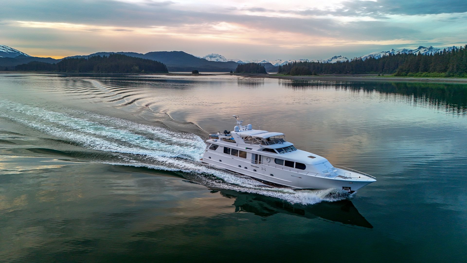
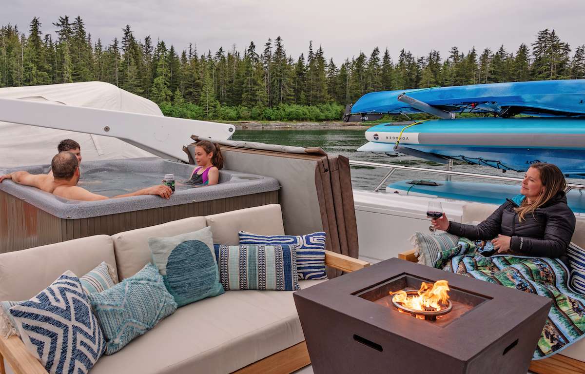
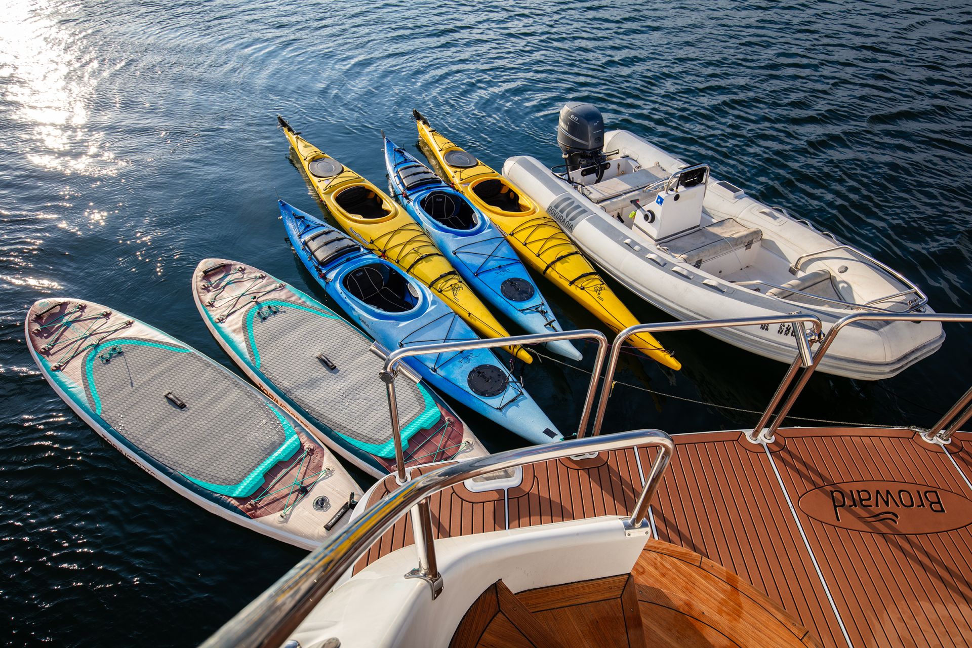
This is Misty Fjords with Anan Creek attached — Ketchikan, the Behm Canal corridor, Rudyerd Bay and Punchbowl Cove inside the monument, Walker Cove at the northern end, Anan Creek's bear platform for the salmon run, and a Tongass coastal close back through Meyers Chuck and Naha Bay. Two hundred and forty nautical miles over seven nights, with the longer days running thirty to fifty nautical miles and the shorter ones inside one fjord system.
It is the right Alaska charter for guests who want the granite-fjord week without the Glacier Bay permit's date rigidity, for returning Alaska guests booking a second-trip rotation, and for groups whose home airport routing puts Ketchikan a cleaner connection than Juneau. If the brief is the marquee tidewater glaciers and the Glacier Bay name, the Inside Passage route is the stronger fit. If the brief is wildlife-density and the dates fall in May through July, the Frederick Sound route trades the geological week for marine-mammal density. The captain shapes the day-by-day around weather and the salmon-run reports at Anan Creek; the structure below is the standard frame.
Day 1 of 7 · Ketchikan → Behm Canal
The charter begins in Ketchikan, the southernmost major city in Alaska — sometimes called the salmon capital of the world for the volume of the working commercial fishery, and the first port-of-call on most cruise ships' Inside Passage routes. Crew meet the group at Bar Harbor Marina or Thomas Basin depending on which dock the yacht is on, with hot drinks and the chart briefing once luggage is aboard. The town's grocery and provisioning runs the strongest in southern southeast Alaska; the chef typically does a final-day produce run before guests board.
The opening leg is short by design. Lines off mid-afternoon for a thirty-nautical-mile run north up Behm Canal — the 110-mile waterway that encircles Revillagigedo Island and forms the western boundary of Misty Fjords National Monument. The route stays inside protected water; the captain reads for the working-harbor cruise-ship traffic out of Ketchikan in the first ten miles, then the canal opens and the rest of the run is the open central Behm. Bell Island sits on the western side of the canal with a protected anchorage and a private fly-fishing lodge that has been operating since 1925.
First night at anchor at Bell Island or in one of the smaller western Behm coves. Dinner aboard. The northern twilight runs late — the sun sets after 9pm at solstice — and the bridge crew typically uses the opening evening to walk the chart for the next day's entry into the monument proper.
Day Highlights
Day 2 of 7 · Monument entry day
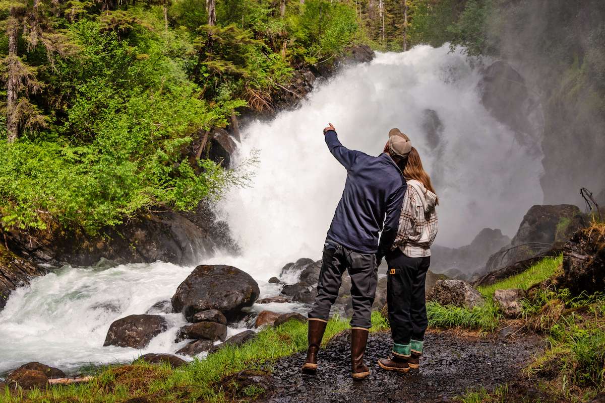
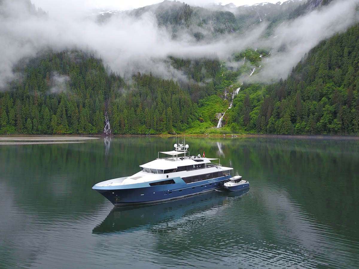
Lines off mid-morning from Bell Island for the thirty-nautical-mile run east-northeast into the western entrance of Rudyerd Bay. The route crosses Behm Canal's wider central section, passes the New Eddystone Rock (a 240-foot basalt column rising out of the canal — the remnant of an ancient volcanic plug, named by Captain George Vancouver in 1793 after a lighthouse in England), and turns east into the bay's mouth. Past the entrance the geography shifts immediately: the cliff walls climb a thousand feet straight from the waterline, the hanging-valley waterfalls open off the upper rim, and the canal traffic disappears.
Rudyerd Bay runs about thirteen nautical miles east-southeast into the heart of the monument. The route is slow by design — the captain idles the yacht through the bay's central run, reading the walls and the waterfalls as the day's main work. The bay's southern shore carries the densest waterfall run on the route — six or seven significant cascades from the upper rim, plus a dozen smaller ones, in the span of a few miles. The bay's water is clear cold green; the bottom drops to seven hundred feet in the central channel, and the shoreline-to-keel-depth transition is steep enough that the chart sounds zero shallow water along most of the run.
The yacht anchors in the inner basin at the head of the bay — protected on all sides by the cliff walls, deep enough for the yacht to swing on a long rode, and quiet enough that the saloon picks up the waterfall's white noise from a half-mile off. Tender out for a slow run along the southern shore to read the waterfalls at deck-level. Dinner aboard at anchor. Most weeks the inner basin holds the yacht and no other vessel.
Day Highlights
Day 3 of 7 · The marquee anchorage
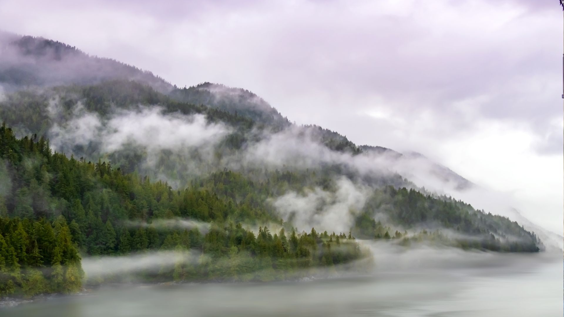
Short hop today — fifteen nautical miles south-southeast from the head of Rudyerd Bay around the corner into Punchbowl Cove, the trip's marquee anchorage. The cove sits at the head of a side branch off the southern arm of Rudyerd; the entrance is narrow enough that a yacht running it for the first time slows to read the chart and reads the walls more than the depth sounder. Past the entrance the cove opens into a circular basin a half-mile across, with the cliff walls closing in over the cove so completely that the sky is a slot above the masthead at midday.
The afternoon is built around the cove. Kayaks down from the swim platform; the basin's water is calm enough that a two-hour paddle along the walls is the day's main work. The kayaks run the shoreline-to-wall transitions at close range — the perspective from the water reads the scale of the basin the way the deck of the yacht doesn't. A trail runs up the eastern wall from a beach landing on the cove's eastern shore to a small lake above the cove; the climb is a two-hour round trip and is well-maintained by the Forest Service for floatplane day-tour visitors. Most yachts skip the trail unless the group has a strong hiker contingent — the cove itself is the day's program.
Overnight at anchor in the basin. The northern twilight runs longer here than the open canal because the cliff walls hold the light against the rim; the saloon evening reads the basin in the long light until past 11pm at solstice. Dinner aboard. The cove is most weeks empty of other yachts overnight — Punchbowl is a known anchorage but the access pattern (no road, no scheduled boat service, only the floatplane day-trippers and the occasional charter yacht) keeps the traffic light.
Day Highlights
Day 4 of 7 · Northern monument day
Lines off mid-morning from Punchbowl for the twenty-five-nautical-mile run north up Behm Canal toward Walker Cove. The route stays in the inner Behm — the canal's eastern shore carries the densest hanging-valley waterfall run on the canal proper, with smaller-scale cascades than Rudyerd Bay's but at closer range to the yacht's deck. The captain runs the yacht slow through the strongest waterfall section; lunch on board at slow drift.
Walker Cove sits on the eastern side of the canal at the canal's northern half — a smaller-scale marquee anchorage than Punchbowl, with the same hanging-valley geography and cliff-wall closing-in. The cove's entrance is wider than Punchbowl's; the inner basin is shallower and the holding ground is muddier. Most weeks the cove holds the yacht and no other vessel — Walker is far enough from the floatplane day-tour radius out of Ketchikan that the access pattern keeps it quieter than Punchbowl.
The afternoon runs the cove the same way Punchbowl did — kayaks down, tender ashore for a short walk on the beach landing, lunch and dinner aboard at anchor. The northern twilight stretches the saloon evening past midnight at solstice; the cove holds the light against the walls in the same way Punchbowl does. Overnight at anchor; the cove is sheltered enough that the rode runs short and the yacht swings inside the basin.
Day Highlights
Day 5 of 7 · Bear-viewing day
Lines off mid-morning from Walker Cove for the fifty-five-nautical-mile run south down Behm Canal and out into Bradfield Canal to the Anan Creek anchorage. The route's longest single passage, and the day the geological-density week shifts to wildlife-density for the marquee bear stop. The route passes the southern entrance to Misty Fjords on the way out — a last look at the monument's geography from the canal before the yacht turns east into Bradfield.
Anan Creek's bear-viewing area sits a half-mile inland from the anchorage at the head of Anan Bay on the eastern shore of Bradfield Canal. The site is permit-controlled — the Forest Service caps visits at sixty people per day during the run, and the captain books the permit slot a year ahead for the dates the trip is built around. The yacht anchors in the bay a few hundred meters off the creek mouth; the tender lands at the beach, and a Forest Service guide meets the group at the trailhead for the boardwalked walk to the viewing platform.
The platform sits above the falls where the pink-salmon run stacks the fish. Both brown and black bears feed at the falls — Anan is one of the few places in southeast Alaska where the two species share a salmon stream — and the Forest Service guides explain the species' feeding patterns and the platform's distance rules through the visit. The pink run is at its peak from mid-July through mid-August. Back to the yacht for lunch and the afternoon at anchor; dinner aboard. Overnight at anchor in the bay.
Day Highlights
Day 6 of 7 · Tongass coastal day
Lines off mid-morning from Anan for the forty-five-nautical-mile run south-southwest down Clarence Strait toward the Cleveland Peninsula's southern tip and the small fishing village of Meyers Chuck. The route passes from Bradfield Canal back into Clarence Strait — the open central waterway between Revillagigedo and Prince of Wales Island — and runs slow through the strait's whale-watching windows. Clarence Strait carries summer humpback density and the occasional orca pod; the bridge watches for surface activity on the way.
Meyers Chuck sits at the south end of the Cleveland Peninsula, with no road in and a community of about a dozen year-round residents. The village's single dock holds a half-dozen yachts on a busy day; the post office, gallery, and bakery (Cassy's, which runs on the seasonal schedule of the salmon fleet) are the town's three commercial concerns. The yacht ties to the public dock for a short walk ashore — about an hour is the typical visit — and lines off mid-afternoon for the second leg of the day.
The closing run is south through the strait into the upper end of Behm Canal and west around Revillagigedo's northwestern shore into Naha Bay. Naha is a protected inner cove twenty miles north of Ketchikan with a Forest Service trail from the beach to a small lake above the bay (about a mile each way, well-maintained, with bear-warning signage in the late-summer salmon-run weeks). The afternoon settles into the cove — kayaks down, the chef working on the closing dinner, the captain reading the chart for tomorrow's run back to Ketchikan. Overnight at anchor.
Day Highlights
Day 7 of 7 · Return close
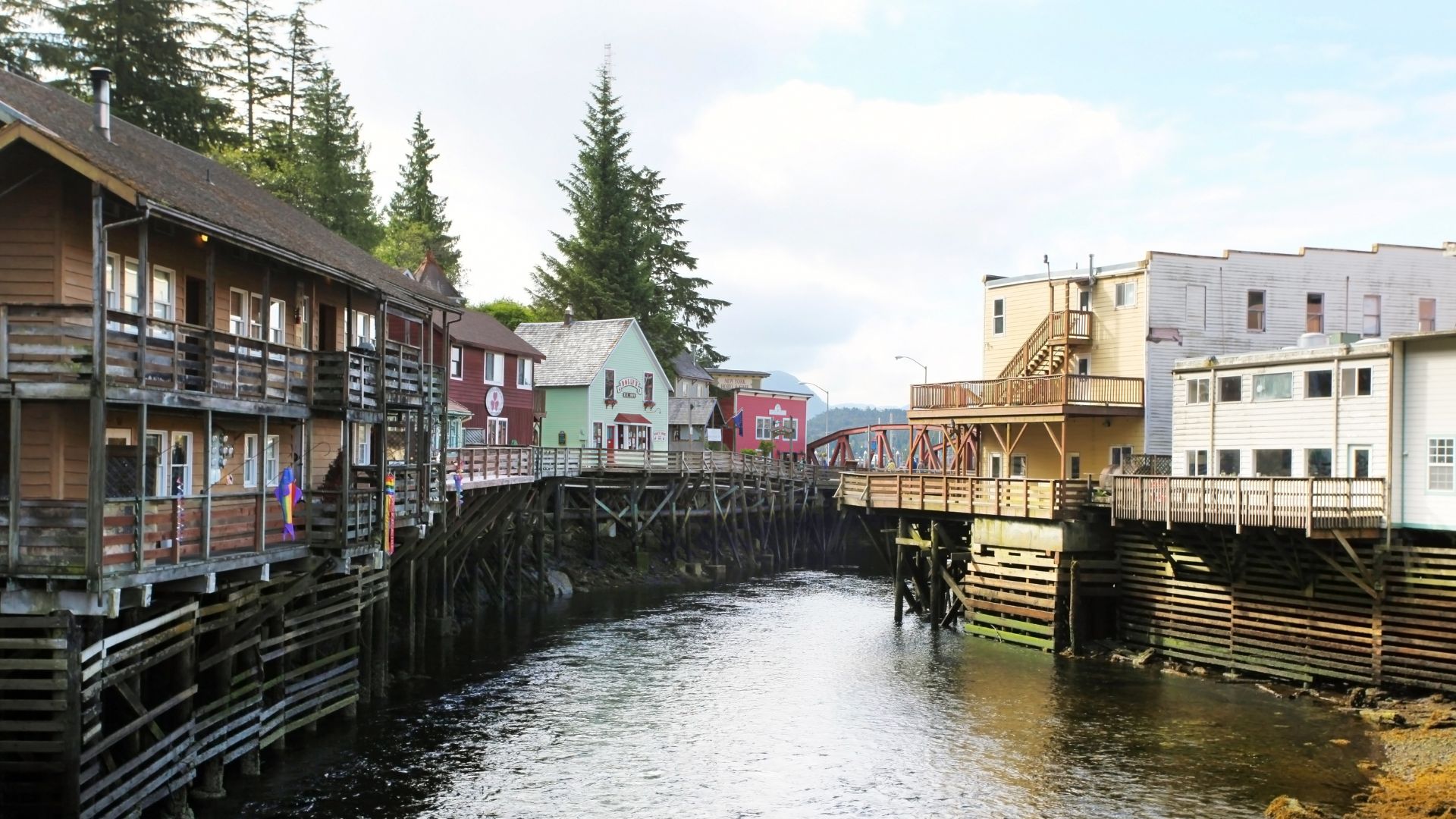
The final cruising day. Lines off mid-morning from Naha for the twenty-five-nautical-mile run south down Behm Canal's western side and into Tongass Narrows — the waterway between Revillagigedo and Gravina Islands, and Ketchikan's working harbor approach. The Narrows is one of the busiest floatplane waters in the world; the bridge slows the yacht for the approach and reads the floatplane traffic on the radio. Ketchikan's commercial fishing fleet runs in and out of the Narrows on the same water; the working-harbor density is the highest the trip has seen.
The yacht ties at Bar Harbor Marina or Thomas Basin in the early afternoon depending on which dock the yacht is on. The closing afternoon ashore in Ketchikan is part of the trip's program rather than the wind-down — Creek Street's historic boardwalk on pilings over Ketchikan Creek runs the salmon run underneath it in late summer, and the Totem Heritage Center on the upper edge of the town holds nineteenth-century Tlingit and Haida totems salvaged from village sites along the southern Tongass. Dinner ashore at Bar Harbor Restaurant on the marina or Annabelle's Famous Keg & Chowder House on the downtown waterfront, depending on the captain's call.
Last night aboard or ashore depending on the morning's departure logistics. Most charters keep the group aboard for the closing night; the saloon evening runs the trip's wildlife log over coffee, and the chef plates the closing dinner with the week's catch in mind.
Day Highlights
Day 8 · Departure
Breakfast aboard, luggage off, and a straightforward transfer to KTN. Ketchikan International Airport sits on Gravina Island across the Tongass Narrows from the city — the airport ferry runs on a schedule timed to outbound flights, a five-minute crossing from the marina-side terminal to the airport. The crew handles the move and the ferry crossing; pre-booked private transfers handle any flights with restricted timing. Direct flights to Seattle (SEA) run multiple times daily on Alaska Airlines; from Seattle onward connections to most US hubs are single-flight days.
The southern Alaska week ends the way it usually reads best — drier than guests feared and quieter than guests expected. Most groups that run this route come back for the Inside Passage and Glacier Bay charter on a subsequent trip; the captain typically walks through the second-charter option with the group before the dispersal at the marina.
Want to share or come back to this voyage later?
Bookmark this voyage →
When to go, what it costs, and how to get there — the practical answers guests ask before booking a Alaska crewed yacht charter.
Mid-June through mid-August is the window the trip is engineered for: the wildlife calendar at full stack — bubble-nets running, bears on the salmon streams from mid-July — and daylight that simply doesn't quit, nineteen hours of direct sun at solstice with twilight carrying through the night. Days sit in the sixties, evenings in the forties, and the season's energy is everywhere on the water. The catch is scarcity: Glacier Bay admits twenty-five private vessels a day, the small fleet books out fastest on June and July dates, and the best boats are gone a year out.
Mid-May and the first three weeks of September are the shoulder windows — colder water, lower booking pressure, smaller crowds at the marquee shore landings. Mid-May charters get the first-of-season ice viewing in the fjords and the start of the humpback return, with the trade-off of cooler air and shorter daylight (sixteen hours direct at the end of May, dropping nineteen minutes a day from solstice). September shifts the trip toward fall colors on the deciduous understory, brown bears still on the late salmon runs through mid-month, lower rates from the peak, and the first frosts on the higher peaks. Guests willing to layer for the cold pick September for the photography and the calendar flexibility.
The Alaska crewed-charter season effectively closes in mid-September. The fleet relocates south through the back half of the month — most to the Pacific Northwest for refit, a handful to Mexico or the Caribbean for the winter season. Shore facilities, fuel docks, and park ranger stations run reduced or closed hours from October. The state operates a year-round cruise-ship infrastructure for the spring through fall, but the yachts that work the Inside Passage are not in the cruising ground from October through April. Charters in the off-season require relocating a yacht from the Pacific Northwest or further afield, and are not recommended.
$36,000–$150,000 per week
Crewed yacht charters in Alaska run from $36,000 to $150,000+ per week, depending on yacht size, build year, and crew. The fleet is power-only — a small group of motor yachts in the six-to-twelve-guest range — and pricing skews more compressed than the Mediterranean because the inventory is narrower and the season shorter. The model is plus-expenses, not all-inclusive. Base rate covers the yacht and crew only. Food, beverages, fuel, marina dockage, harbor and park fees, water and electric are funded through an Advance Provisioning Allowance, pre-funded at twenty-five to thirty percent of the base rate and reconciled at trip end. The Alaska APA usually runs lower than the Mediterranean's thirty-to-thirty-five because the week anchors out most nights — fewer marina fees, none of the scene-restaurant logistics. Fuel runs higher in absolute terms — the yachts cover more nautical miles per week than a Mediterranean charter. Crew gratuity is customary at ten to twenty percent of the base rate, paid directly to the captain on disembarkation. Charters run flexibly rather than the Saturday-to-Saturday Mediterranean standard; the captain matches the embarkation day to the wildlife calendar, the Glacier Bay permit, and your flights. When we send options, we'll show the real trip cost — base, APA, fuel for the mileage this coast actually covers — and what separates the fleet's $36,000 week from its $150,000 one. Alaska has no state sales tax, and none applies to the charter base rate. Park entry fees at Glacier Bay are funded through the APA.
About chartering in Alaska.
We charter across the United States. Here are some other excellent alternatives.

Newport's Gilded Age harbor as the base, Martha's Vineyard and Nantucket a day's hop east, and the Maine coast running Down East to Acadia. New England is the classic American summer taken by water — large motor yachts and classic sailing yachts, short passages, harbor towns that have hosted summer people for a century and a half, and no passport required.
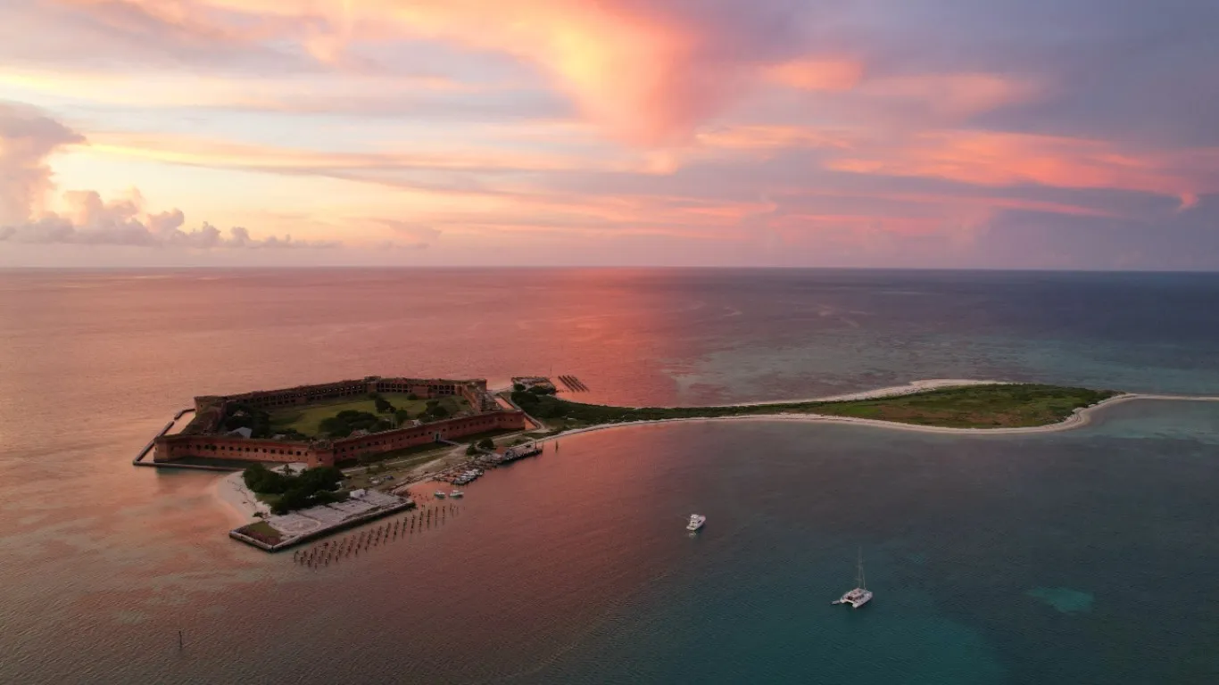
Fort Jefferson going gold as the last ferry leaves, mahi lines working every transit, Key West's bar-light waterfront, and a marina-to-marina chain that never needs a passport — America's island run, Miami to the Dry Tortugas, built for motor yachts.
Fill out our quick form and we'll dive into your unique preferences — from adventure-packed itineraries to pampered escapes. Whether you're a seasoned voyager or new to charters, we'll tailor recommendations just for you.
With over fifteen years of experience, we'll match you with the yacht that fits your style, group, and itinerary. We work directly with the captains and crews across our list — so the recommendation is built around the right boat-and-crew fit for your week, not whatever's easiest to book.
Once your yacht is booked, we'll take care of logistics: paperwork, reminders, and personalized resources to help you plan. From arrival planning to must-visit spots, we'll make your charter as seamless as it is unforgettable.

What to Expect on a Private, Crewed Yacht Charter
Learn what makes crewed yacht charters extraordinary: personalized service, gourmet dining, and endless opportunities for adventure and relaxation.

How Does the Booking Process Work?
Our team handles every detail of your crewed yacht charter booking, ensuring a seamless experience from your first inquiry to setting sail.

Crewed Yacht Charter Pricing Explained
Understand what a crewed charter costs, the types of pricing, and what is included / not included.

Logistics: Proven Travel Plans for a Stress-Free Start
Plan your journey to your crewed yacht charter with ease. Tips on flights, transfers, and logistics for a stress-free start to your vacation.
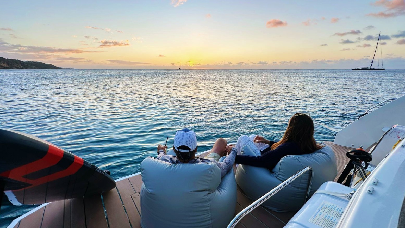
Honeymoon Yacht Charters
Start your marriage on a private yacht. Explore secluded beaches, gourmet dining, and unforgettable sunsets in the Caribbean.
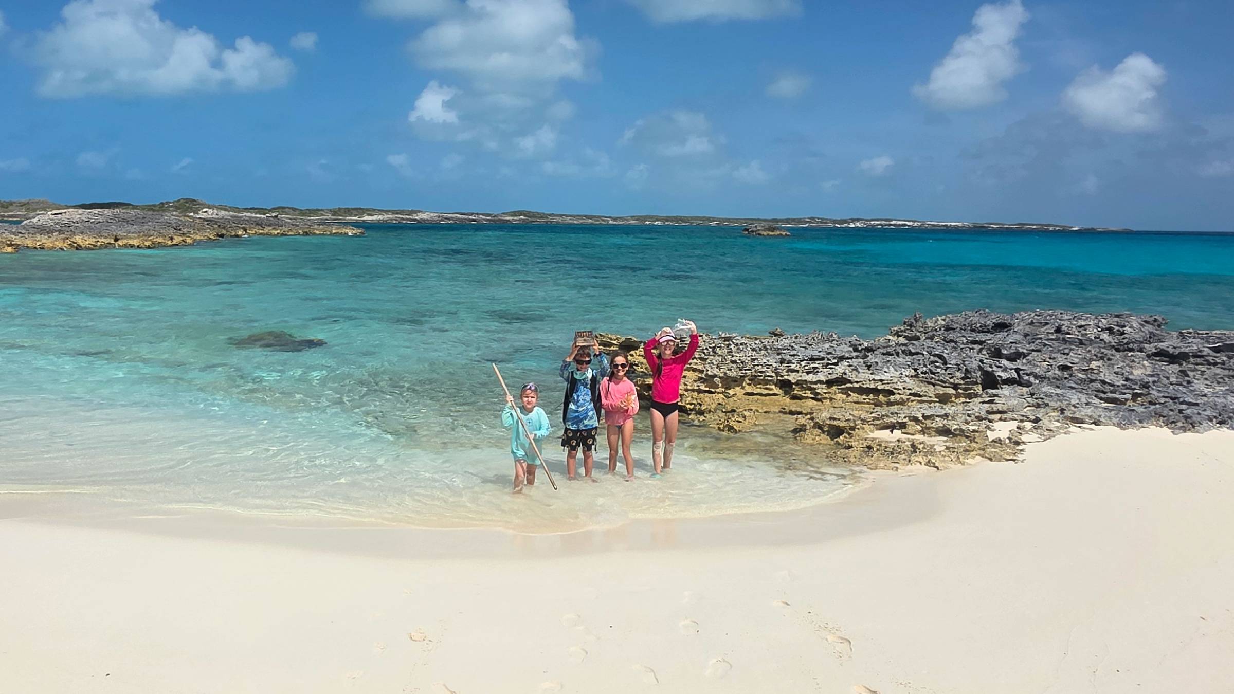
Family Yacht Charters
A crewed yacht charter is perfect for families of all ages. Safe, fun, and fully catered — your kids will never forget it.

Crewed Charter FAQ
Get answers to common questions about crewed yacht charters, from pricing and tipping to what's included and what to pack.

BVI Crewed Yacht Charters
The British Virgin Islands are the #1 crewed charter destination in the Caribbean. Short sails, protected waters, and world-class anchorages.

BVI Crewed Charter Guide
Everything you need to know before your BVI crewed catamaran charter — pricing, packing list, sample itinerary, and getting there.
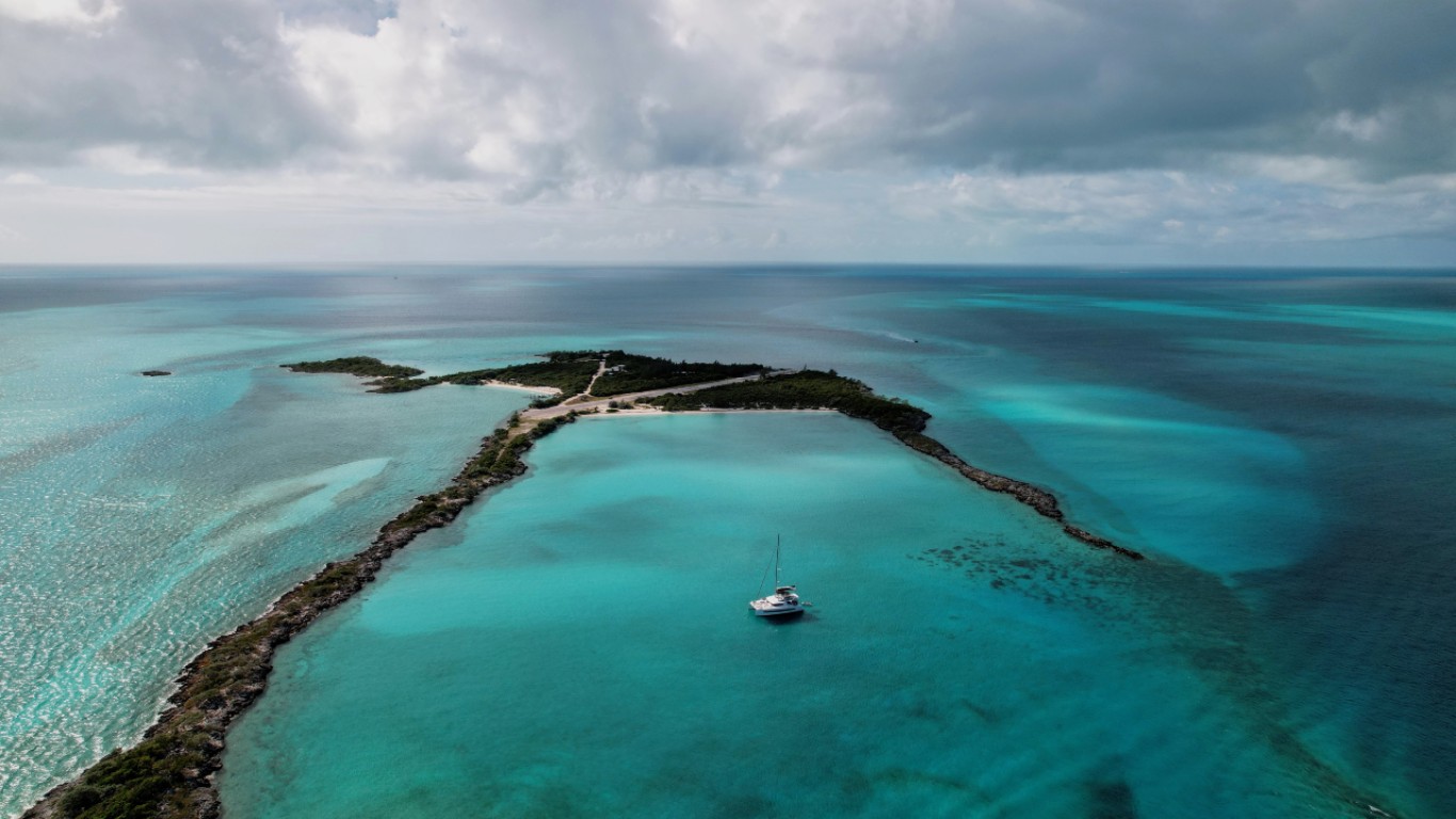
Bahamas Crewed Yacht Charters
Explore the Exumas on a private crewed yacht. Swimming pigs, sandbars, and some of the clearest water on earth.
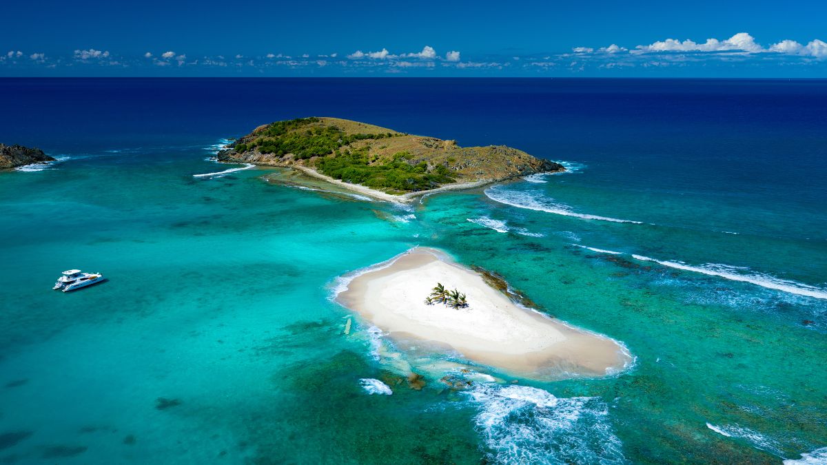
Caribbean Crewed Yacht Charters
All-inclusive crewed charters across the Caribbean — BVI, Bahamas, USVI, St. Martin, Antigua, and beyond.