
Crewed Itinerary · Spanish Virgin Islands

Vieques and Culebra Itinerary: A 7-Day Spanish Virgin Islands Week

The Spanish Virgin Islands sit between the US Virgin Islands and Puerto Rico—two main islands, Vieques and Culebra, with a scatter of uninhabited cays around them. They're the same chain that produces the BVI's anchorages and the USVI's beaches, but with a fraction of the charter traffic, no passport requirement, and the kind of empty bays that the BVI used to have thirty years ago. The reason most charter guests have never heard of them is logistical: there's no direct international airport into either island, and the standard charter base has historically been Puerto del Rey on the Puerto Rico mainland, which adds a long airport-to-marina day on either end of the trip. The fix is to start the charter where the boats actually live—St. Thomas—and run the route as a downwind clockwise loop. That's the itinerary below.

Seven days, roughly 95 nautical miles, downwind sailing for the first half and an upwind return on the last day. Two nights in Vieques (south coast and west coast), four in Culebra and Culebrita, one final night back across the channel at Magens Bay on St. Thomas. Both Vieques and Culebra are US territory—same as the USVI—so there's no customs paperwork, no passport stamp, and no clearance window to plan around. With your professional captain and private chef running the boat, you step aboard at Yacht Haven Grande, point the bow west, and let the trades do the rest.

Duration
7 days / 8 nights
Base
St. Thomas (round-trip)
Plan your Spanish Virgin Islands charter Custom-tailored to your dates and group preferences
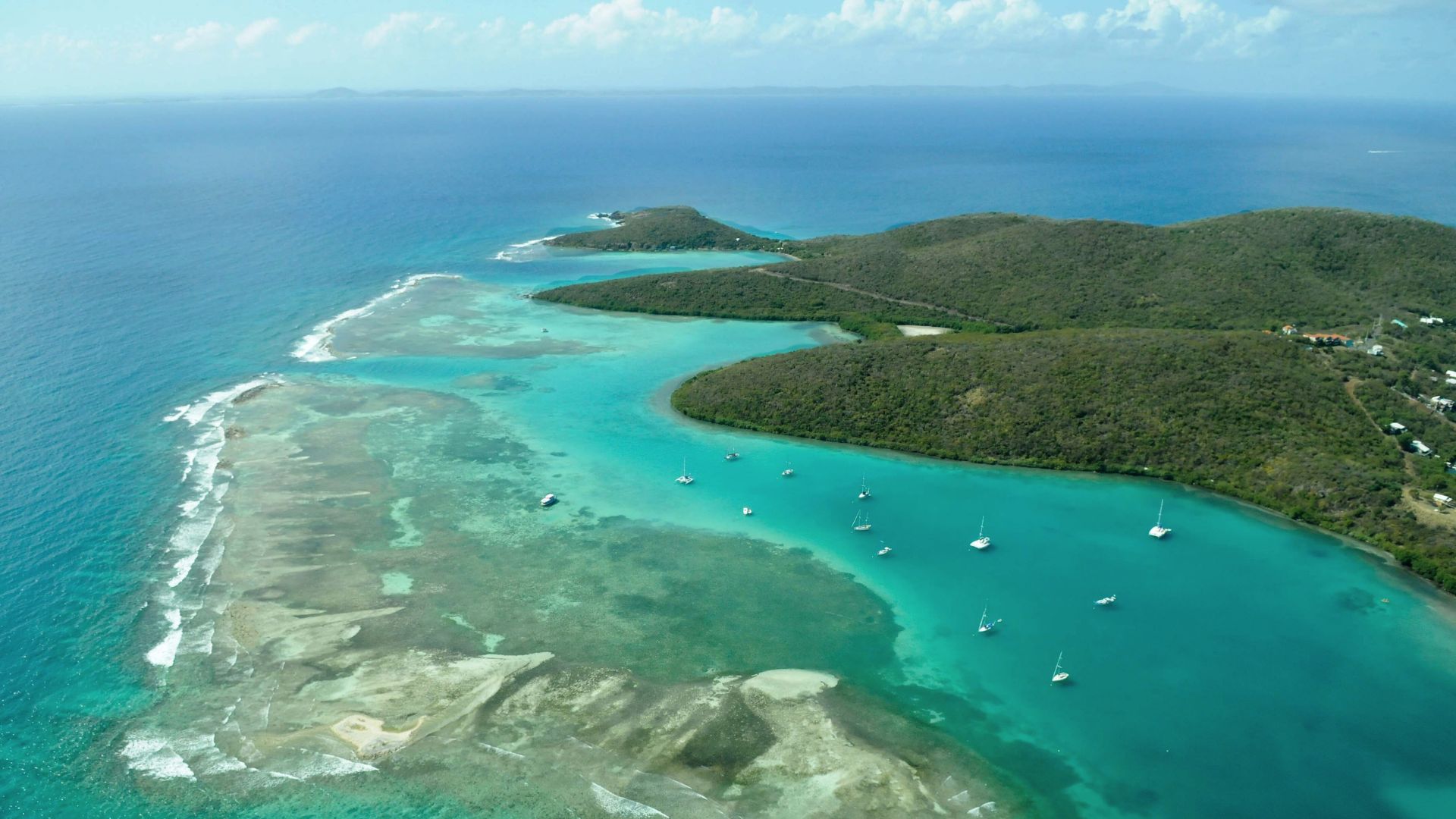
Aerial view of yachts at anchor in Ensenada Dakity behind the reef line on the south coast of Culebra.
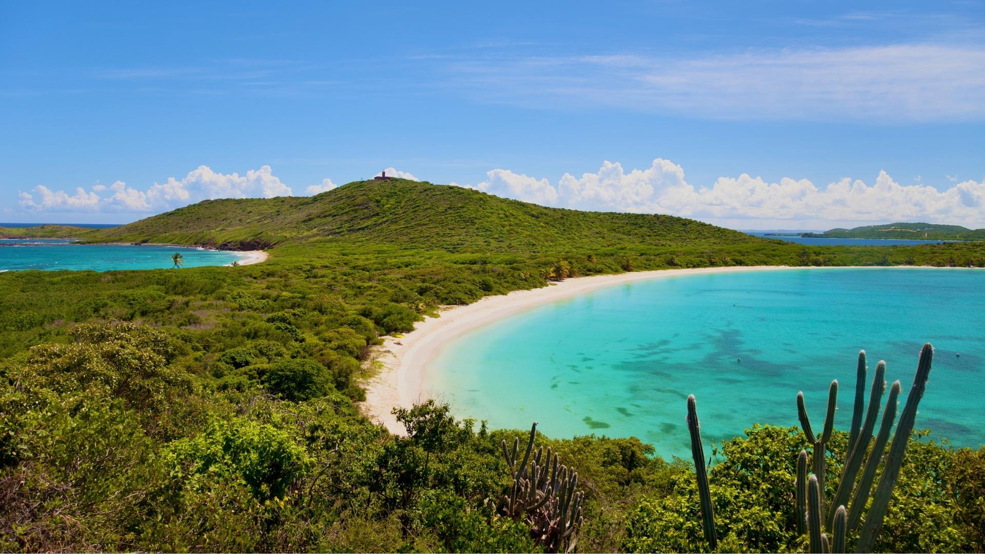
The Faro de Culebrita on the hilltop above Tortuga Beach—the oldest lighthouse in Puerto Rico, with views over the islet's white-sand crescent and the open Caribbean.
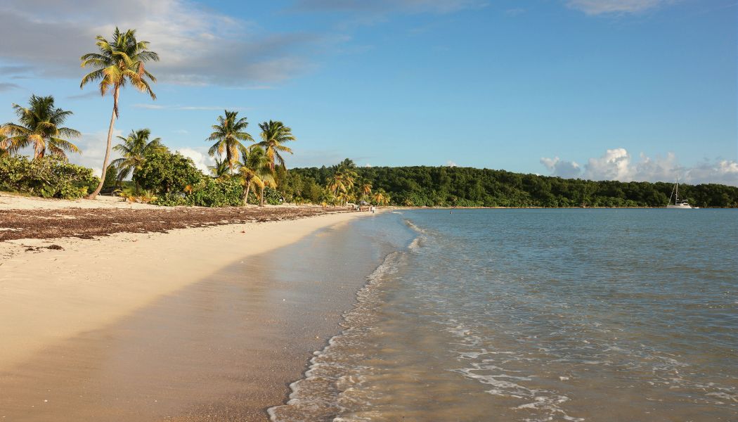
Palm-fringed Sun Bay beach on the south coast of Vieques at golden hour, with a catamaran moored offshore.
Bioluminescent dinoflagellates glowing electric blue in Bahía Mosquito on Vieques—Guinness's brightest bioluminescent bay in the world.

Why Vieques and Culebra by yacht beats every other passport-free charter

The Spanish Virgin Islands deliver everything guests come to the BVI for — clear water, empty beaches, downwind trade-wind sailing — without the passport, the Customs paperwork, or the crowds. Vieques and Culebra are US territory, the same as the USVI; you fly into STT and step aboard. The Bahía de la Chiva (Blue Beach) anchorage on Vieques and the Flamenco/Culebrita arc on Culebra are arguably the best beach anchorages anywhere in the US Caribbean.

About 95 nautical miles across the week — downwind on the way out (St. Thomas to Vieques to Culebra), an easy upwind return on the last day. The route is built as a clockwise loop so the boat is always pointed the right way for the trades. If you've sailed the BVI and want something quieter without the passport hassle, the Spanish Virgin Islands are the sleeper Caribbean charter.

1

Day 1 of 7 · St. Thomas → Vieques south

St. Thomas to Bahía de la Chiva, Vieques
Anchorage: Bahía de la Chiva, Vieques
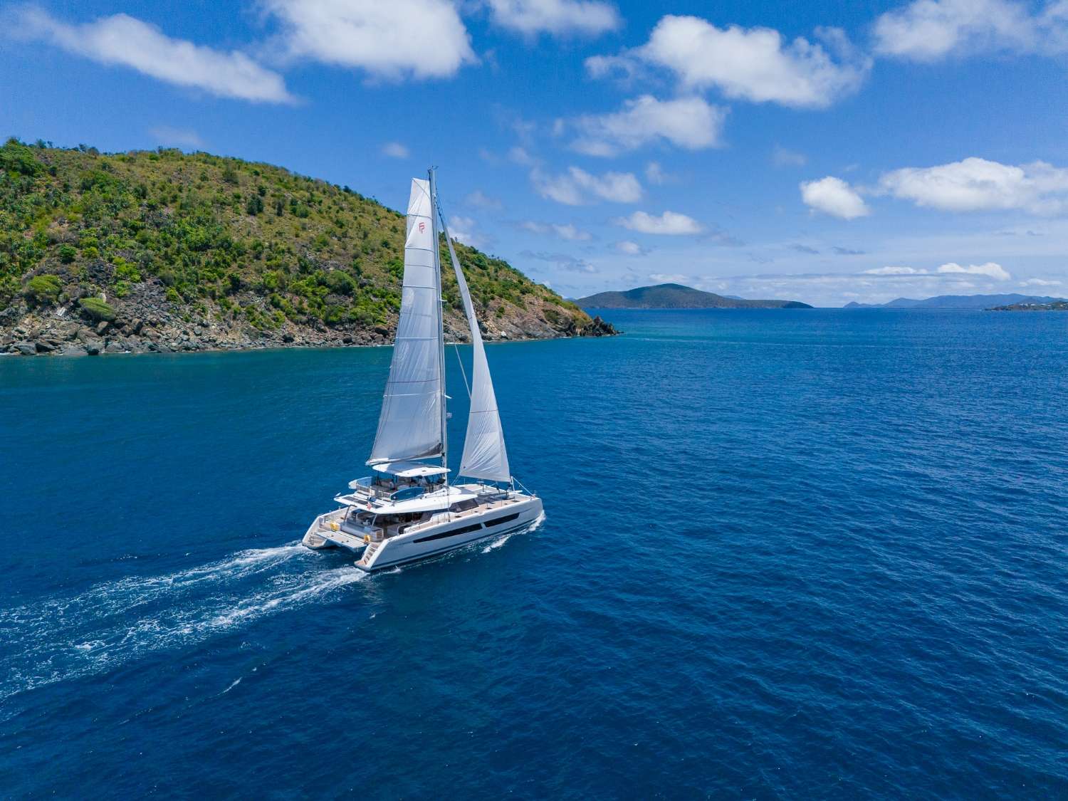
Downwind reach across Vieques Sound — trades on the quarter, St. Thomas dropping behind the transom, the long flat profile of Vieques growing on the bow.
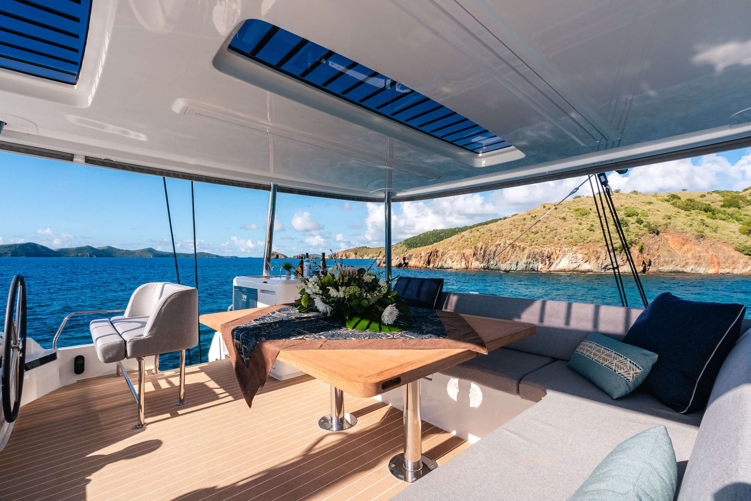
First dinner aboard at anchor in Bahía de la Chiva — chef-prepared welcome plating on the aft deck, Isla Chiva blocking the breeze, the boat barely moving.

Your week begins at Yacht Haven Grande on St. Thomas, the largest and best-run megayacht marina in the eastern Caribbean. Your professional crew meets you at the slip with cold drinks and a chart briefing that frames the route ahead, walks you through the boat, and gets your gear stowed while the chef finishes provisioning. Because both the US Virgin Islands and Puerto Rico are US territory, there's no customs paperwork, no passport clearance window, and no morning lost to an immigration office. You step aboard, sign the charter agreement, and the boat is moving by lunch.

By early afternoon, lines off for the thirty-nautical-mile downwind reach west to Vieques. The trades blow steady east-northeast through the high season at fifteen to twenty knots, which puts the wind dead astern for most of the leg—a fast, dry sail with the boat surfing down the swell, St. Thomas dropping behind the transom, and the long flat profile of Vieques growing on the bow. By late afternoon you're tucked into Bahía de la Chiva—Blue Beach to the locals—on the south coast of Vieques, with Isla Chiva blocking the breeze and a quarter-mile of palm-lined white sand off the bow.

The first afternoon is deliberately slow. Swim off the back of the boat, paddleboard into the beach, walk the sand. Vieques is famously home to a population of free-roaming wild horses—descendants of the Spanish colonial herds—and you'll often see them grazing along the beach line at dusk. Chef-prepared welcome dinner aboard tonight, the lights of Esperanza glowing seven miles west across the bay.

Optional evening tour: Mosquito Bay bioluminescence. Vieques's Bahía Mosquito is the brightest bioluminescent bay in the world by Guinness measurement—the dinoflagellates glow electric blue when disturbed, which means every paddle stroke, every fish swimming under your kayak, every hand dragged through the water lights up the surface. Anchoring inside the bay is prohibited (it's a protected reserve), so the tour is by guided kayak from Esperanza, run after full dark on dark-moon nights only. Your captain books the tour and arranges the transfer if the lunar window cooperates. Skip it on full-moon weeks—the bay still glows, but you can't see it under the moonlight.

Day Highlights

  • Seamless welcome at Yacht Haven Grande, St. Thomas — no passport required.
  • Thirty-mile downwind reach across Vieques Sound.
  • Anchor at Bahía de la Chiva (Blue Beach), the prettiest bay on Vieques's south coast.
  • Optional evening kayak tour of Bahía Mosquito — Guinness's brightest bio bay, lunar-cycle dependent.
2

Day 2 of 7 · Vieques south → west

Sun Bay, Esperanza Lunch, Fishing the Drop, and Green Beach

Anchorage: Green Beach, Vieques
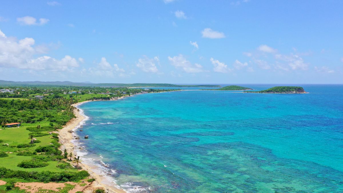
Vieques's south coast from above—palm-lined sand on one side, reef shallows on the other, and almost no boat traffic. Sun Bay sits along this stretch, a short tender ride from the village of Esperanza.
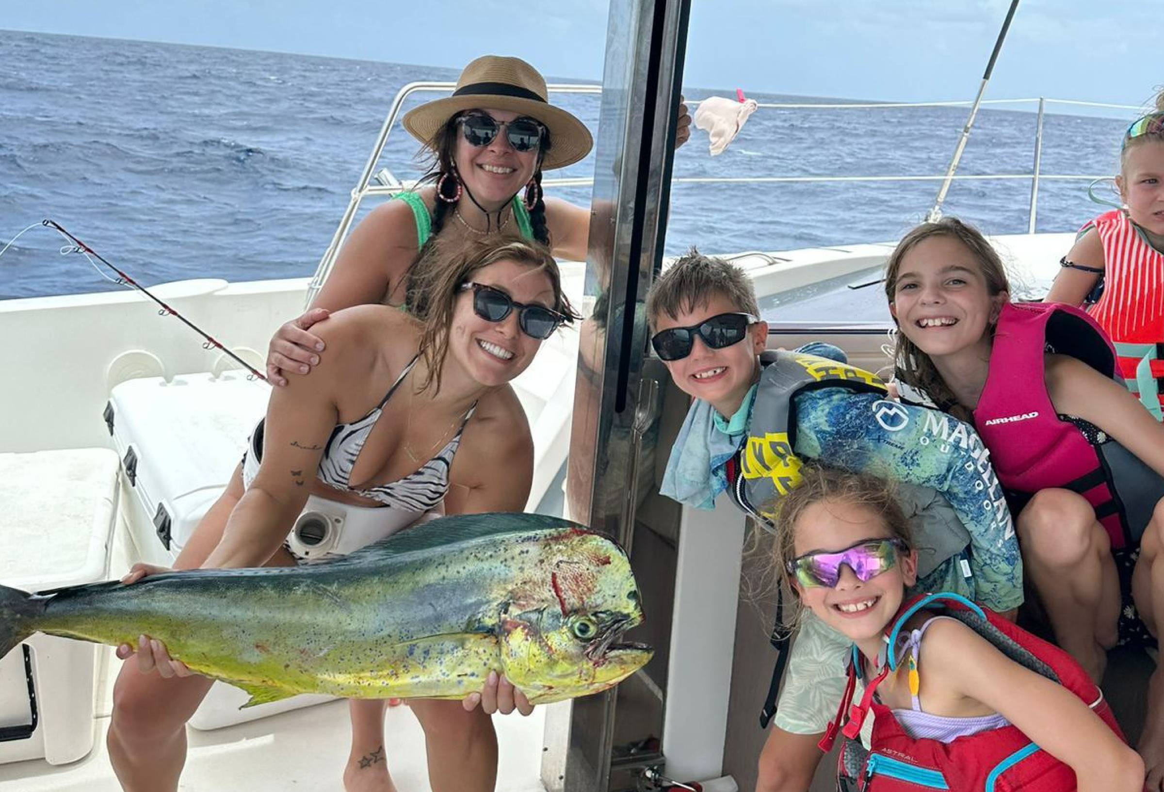
"The drop" — the bottom south of Vieques falls off from forty feet to several thousand within a couple of miles, and the deep-water edge is one of the most reliable offshore-fishing spots in the eastern Caribbean. Mahi peak in winter; tuna stay steady year-round.
Green Beach faces west across the channel to the Puerto Rico mainland—the silhouette of El Yunque rainforest catches the sun on the way down. Best sunset on the route.

After a slow morning swim off the back of the boat, your captain repositions five miles west to Sun Bay—a long crescent of public beach just east of Esperanza, with sandy holding and shelter from the trades. Anchor in the bay, then tender ashore for lunch in town. Esperanza is the south-coast village—a handful of streets clustered around a half-mile waterfront promenade called the malecón, with a half-dozen open-air seafood places lined up facing the water. Bili and Duffy's are the casual lunch picks; El Quenepo is the upscale Caribbean-fusion option if you'd rather a longer lunch and a bottle of wine.

Back aboard by mid-afternoon, lines off for the longer leg of the day—a downwind run south along Vieques's coast, around the west tip, and up to Green Beach on the west side. The route passes over the underwater shelf known locally as "the drop"—the bottom falls off from forty feet to several thousand within a couple of miles—and the deep-water edge is one of the most reliable offshore-fishing spots in the eastern Caribbean. Mahi, wahoo, blackfin tuna, and the occasional white marlin work the drop year-round, with mahi peaking in winter and tuna staying steady. If you have anglers aboard, your captain rigs trolling lines as you pass through.

Late afternoon, your crew brings the boat around the western tip of Vieques and into Green Beach—a long, mostly empty stretch of sand on land that was US Navy property (Camp Garcia) until the bombing range closed in 2003. The west-facing aspect makes for the best sunset on the route: the silhouette of the Puerto Rico mainland seven miles across the channel, El Yunque rainforest darkening to the north, the sky going through every shade of pink and orange. Dinner aboard tonight, anchored alone or with one or two other yachts in a bay that almost no charter actually visits.

Day Highlights

  • Short reposition to Sun Bay, anchor and tender to Esperanza for lunch on the malecón.
  • Downwind reach south of Vieques over "the drop"—offshore fishing for mahi, wahoo, tuna, and marlin.
  • Arrive Green Beach on the western tip — former Navy land, now public refuge.
  • Sunset over the Puerto Rico mainland and El Yunque rainforest.
3

Day 3 of 7 · Vieques → Culebra

North to Cayo Luis Peña and Carlos Rosario

Anchorage: Carlos Rosario, Culebra
Cayo Luis Peña is the uninhabited cay west of Culebra—part of the Wildlife Refuge, a designated marine reserve, and the right anchored-lunch stop on the way north from Vieques.
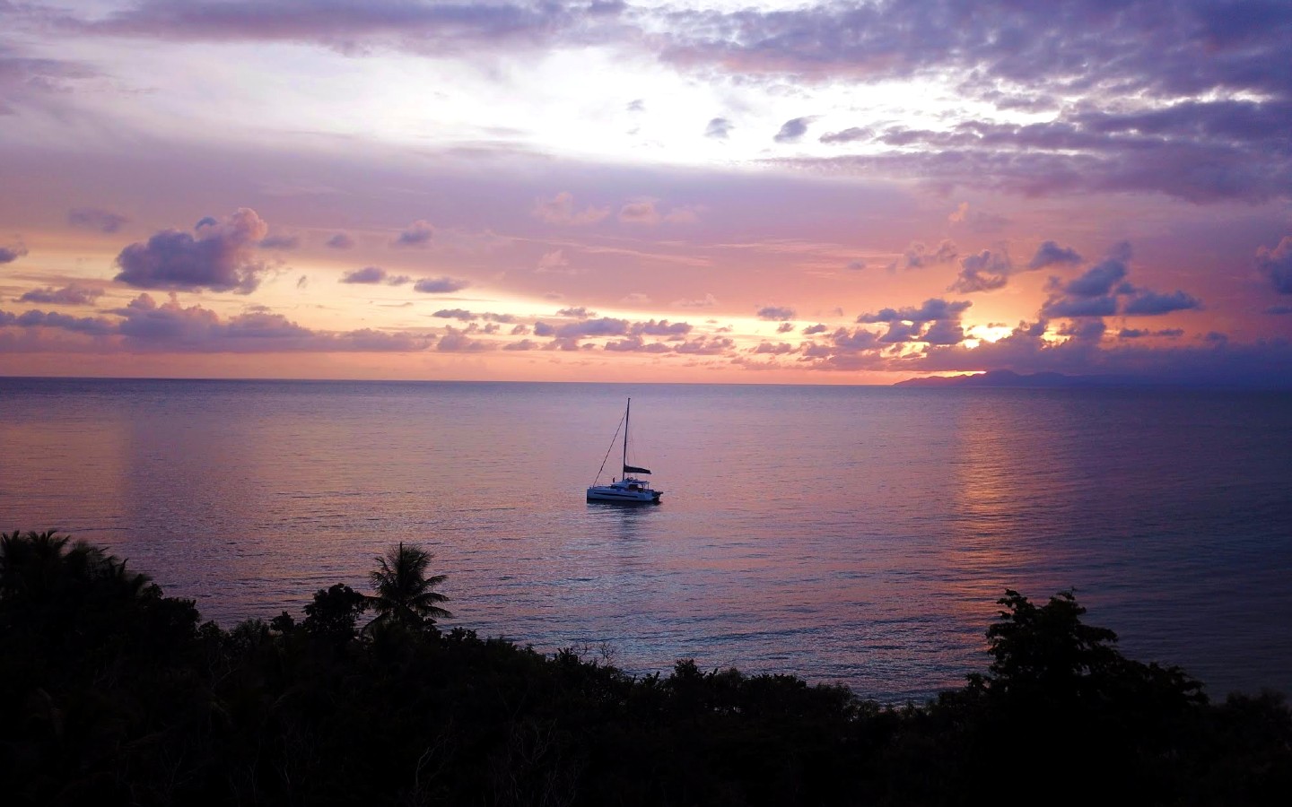
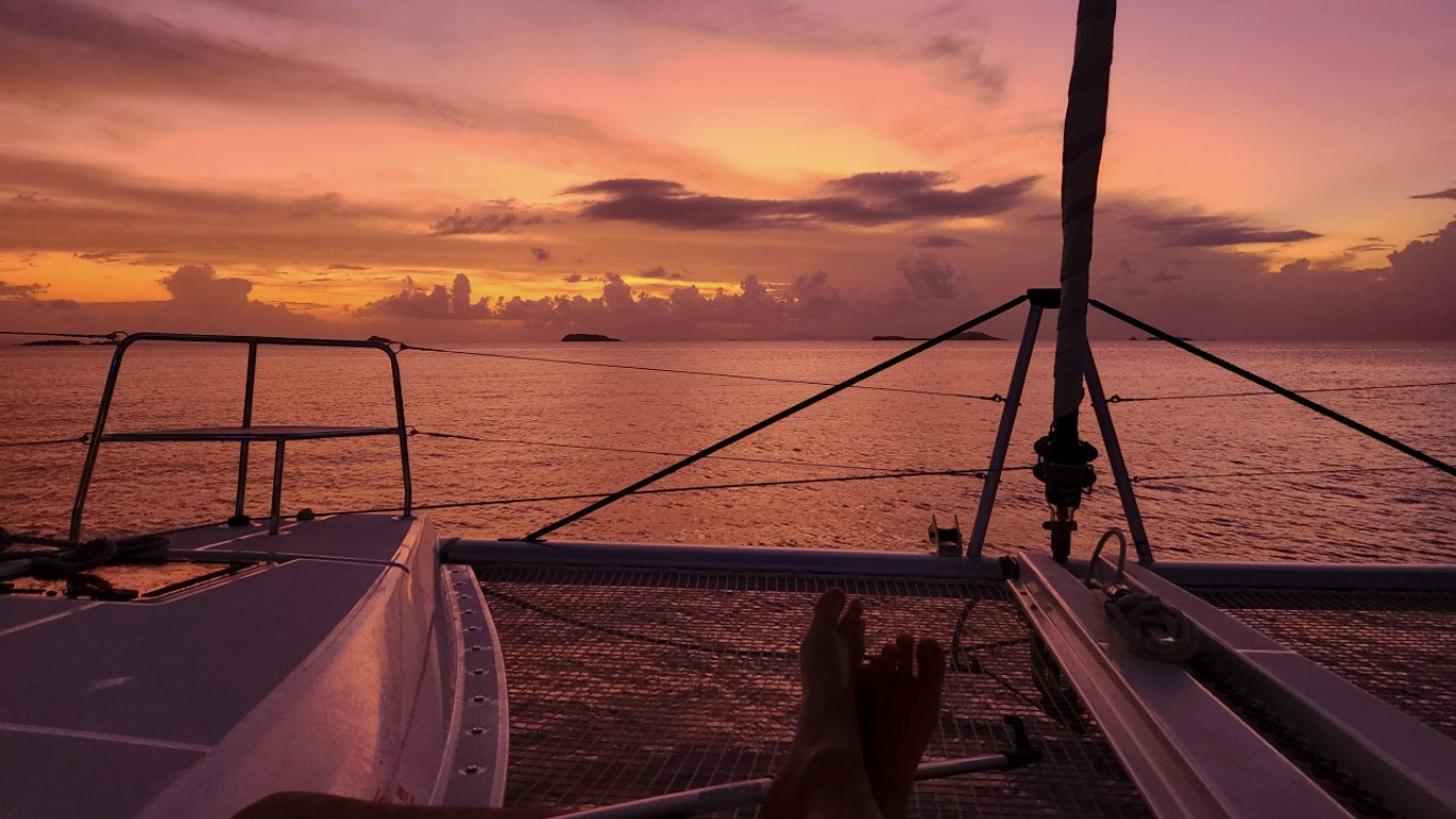
Sunset from the Carlos Rosario anchorage—the small cays of the western refuge silhouetted against the Caribbean sky. The reef snorkel is a hundred yards off the bow.

After breakfast aboard at Green Beach, your captain points the bow north for the twelve-mile crossing of Vieques Passage to Cayo Luis Peña. The morning trades come in across the beam, and the boat reaches comfortably across the open water with Vieques receding behind and the low profile of Culebra and its outlying cays building on the horizon. The passage itself is uncrowded—almost no charter traffic moves between Vieques and Culebra, which is part of why this stretch of the chain feels twenty years behind everything else in the Caribbean.

Cayo Luis Peña is a small uninhabited cay sitting a half-mile west of Culebra proper, ringed by reef and protected as part of the Culebra National Wildlife Refuge. Anchor in the lee for an hour or two—long lunch on the hook, a swim off the back, an exploratory tender ride into the small white-sand beach on the south side of the cay. The reef holds a remarkable amount of fish life for being so close to a working anchorage, and the snorkel off the bow rewards a slow drift along the edge.

Mid-afternoon, a short three-mile hop east brings you into the Carlos Rosario anchorage on the northwest corner of Culebra. Carlos Rosario is one of the densest stands of elkhorn coral in the Caribbean—the staghorn-coral reef has been protected as a marine reserve since 1999, and it's recovered to the point where it's now genuinely one of the best snorkel sites in US waters. Your crew drops the dinghy and takes you in for a late-afternoon snorkel before the wind drops. Sunset over the western cays from the anchorage is the closing shot of the day. Dinner aboard, the boat sitting on its hook with the cays going dark to the west.

Day Highlights

  • Twelve-mile crossing north over Vieques Passage to Cayo Luis Peña.
  • Anchored lunch and snorkel in a marine-reserve cay almost no one stops at.
  • Late-afternoon snorkel at Carlos Rosario—dense elkhorn-coral reef, marine reserve.
  • Sunset over the western cays of the Culebra Wildlife Refuge.
4

Day 4 of 7 · Beach day at Flamenco

Beach Day at Playa Flamenco

Anchorage: Playa Flamenco, Culebra
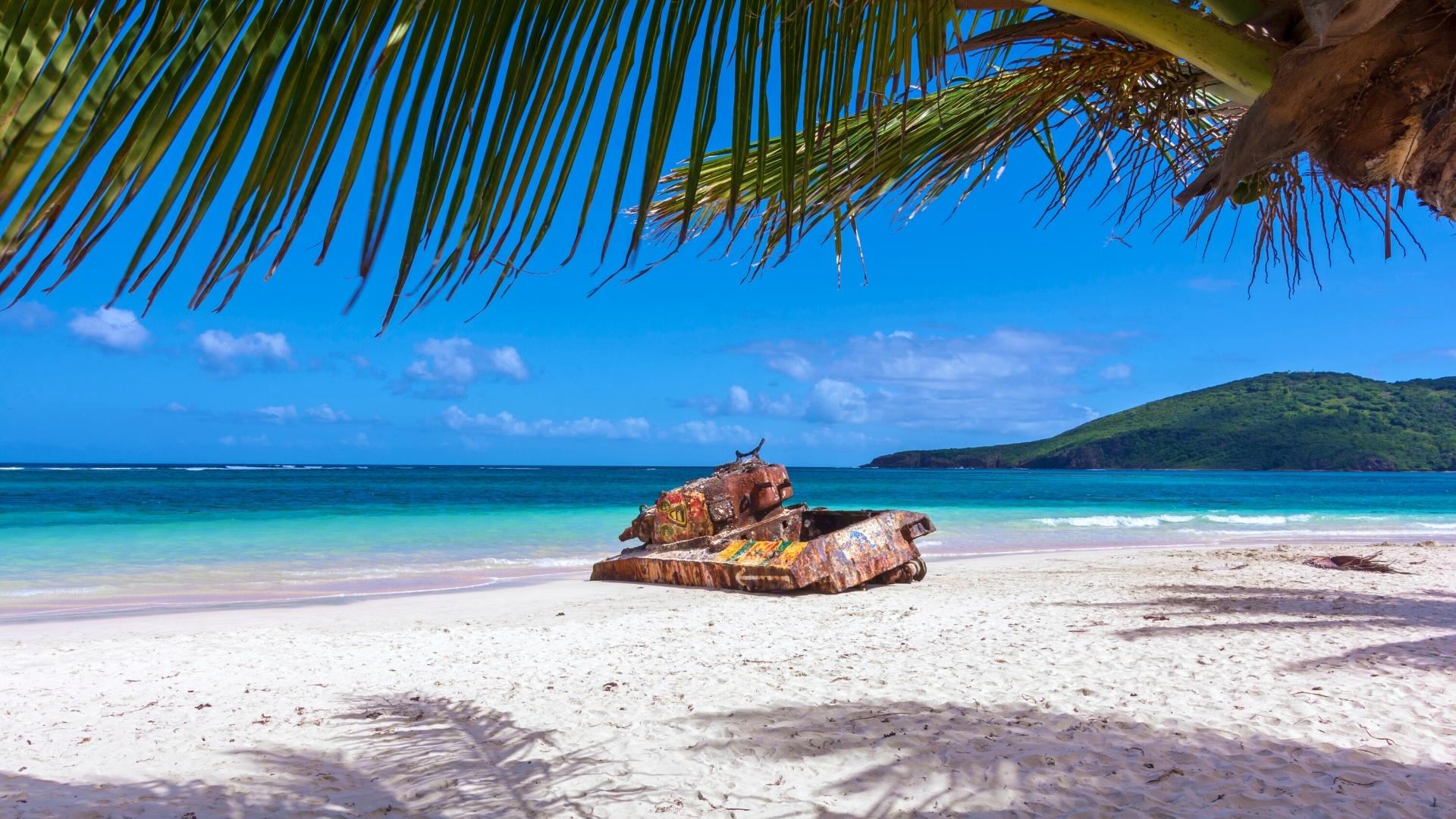
The rusted Sherman tanks at the east end of Flamenco are left over from the US Navy bombing-range era. Culebrans protested for decades, the Navy left in 1975, and the tanks stayed where they were—now covered in graffiti and locally protected as a monument to the protest movement.

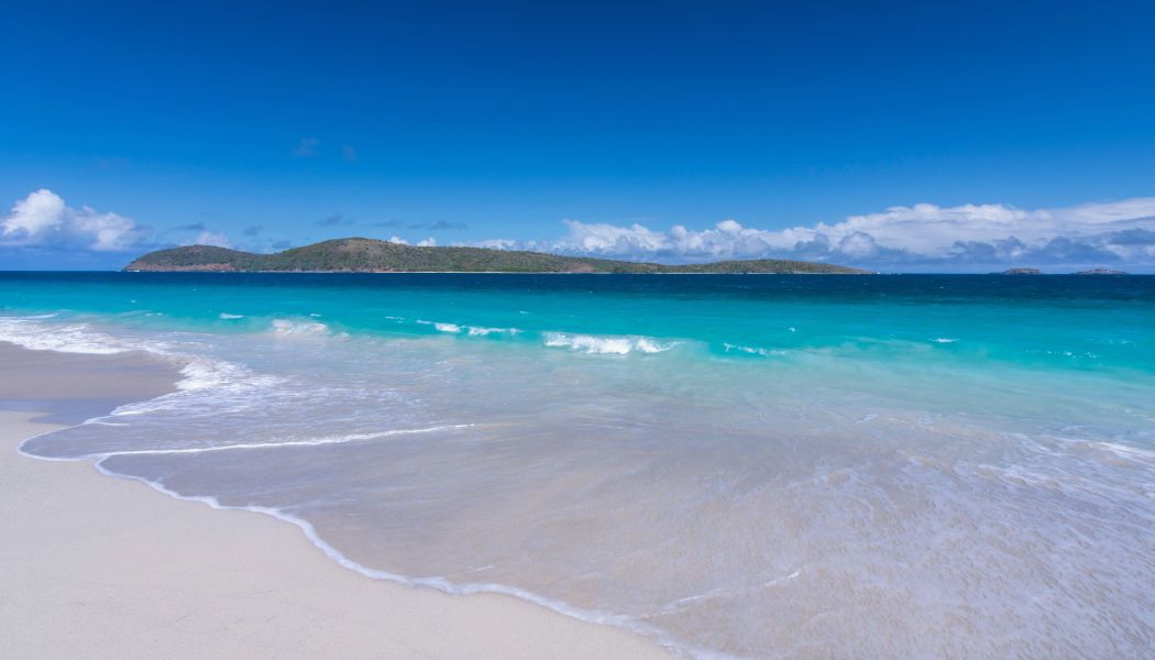
Today is the beach day, and Playa Flamenco earns it. Travel + Leisure, Discovery Channel, and the Travel Channel have all ranked it among the world's top ten beaches at one point or another, and after a single morning on the sand it's hard to argue with. A perfect crescent of fine white sand backed by low scrub-covered hills, water so shallow it stays at your waist for thirty meters out, and a horseshoe shape that blocks almost all the swell.

There are two ways to get there, and which one your captain picks depends on the morning's swell forecast. If conditions are calm, the boat repositions two miles east around the Punta Soldado headland and anchors directly off Flamenco's western end. The anchorage is exposed to the north, so it only works in light conditions—your captain makes the call at sunrise. If the swell is up, you stay on the hook at Carlos Rosario and walk the Trail to Flamenco—a thirty-minute marked path that climbs over the headland between the two beaches. The hike is part of the experience either way: short, scenic, with views down both sides of the ridge.

Once you're at Flamenco, the day belongs to the beach. The east end of the sand holds the famous attraction: two rusted M4 Sherman tanks half-buried in the dunes, leftover from when the US Navy used Culebra as a bombing range. Culebrans protested the Navy presence for decades—the protest movement is part of how Vieques eventually got its bombing range closed too—and the Navy finally left in 1975. The tanks stayed where they were, and the local community has kept them protected as a monument to the protest. They're covered in rotating graffiti now, which is the point.

The beach lunch scene runs on kioskos—small open-air food and drink stands lined up along the edge of the parking area. Pinchos (grilled meat skewers), empanadas, mofongo, and very cold Medalla Light. There are no proper restaurants on Flamenco; the kioskos are the entire economy of the beach, and that's part of the appeal. Tender back to the boat by sundown, dinner aboard tonight, and the boat at anchor with the lights of Dewey two miles away across the headland.

Day Highlights

  • Beach day at Playa Flamenco—Culebra's marquee stop and a regular world-top-ten beach.
  • Anchor in the lee or hike the Trail to Flamenco from Carlos Rosario, captain's call.
  • The rusted Sherman tanks at the east end—US Navy bombing-range monument, left after the 1975 protest win.
  • Kiosko lunch on the sand: pinchos, empanadas, mofongo, cold Medalla.
5

Day 5 of 7 · Culebrita

Culebrita — Tortuga Beach and the Lighthouse Hike

Anchorage: Culebrita
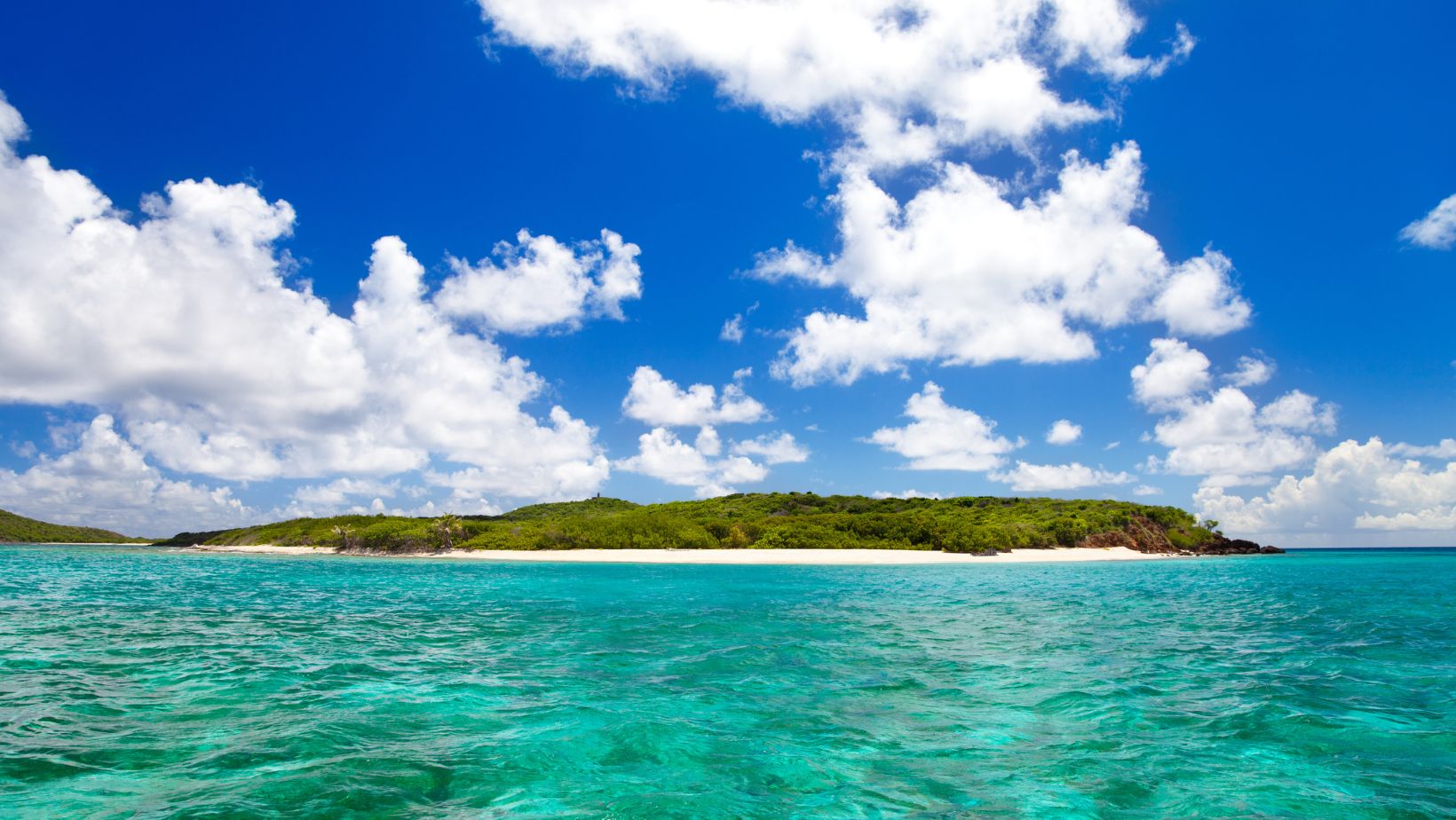
Playa Tortuga (Turtle Beach) on Culebrita—uninhabited islet, protected wildlife refuge, regular sea-turtle sightings off the swim platform. The island is a half-mile across with no road, no dock, no anything.

A short four-mile hop east brings you to Culebrita—a small uninhabited islet two miles off the eastern tip of Culebra, part of the Culebra National Wildlife Refuge. Culebrita has no permanent residents, no dock, no road, and no facilities. The whole island is about a half-mile across, ringed by beaches, capped by a hill with a lighthouse on top. It is the quietest stop on the chain.

Your captain drops the hook in the lee of the island and the day belongs to the beach. Playa Tortuga (Turtle Beach) on the south side is the headline anchorage—a small white-sand crescent named for the green sea turtles that nest on the beach in summer and graze the seagrass beds offshore year-round. Snorkel off the swim platform and there will be turtles. Park rules are strict (no chasing, no touching), and the population has rebounded over the past two decades to the point where multiple sightings per swim are routine.

Two extras worth the time. First: the hike up to the Faro de Culebrita on top of the hill—a Spanish Crown lighthouse built between 1882 and 1886, the oldest lighthouse in Puerto Rico, decommissioned in 1975 and now a roofless ruin with 360-degree views over the entire Spanish Virgin Islands and on a clear day all the way to St. Thomas. The trail up is twenty minutes from the beach, easy grade, well-marked. Second: "Los Jacuzzis"—a series of natural tide pools on the north side of the island, scoured by wave action over centuries into deep clear basins that fill and drain with each surge. They feel exactly like sitting in a hot tub, except the water is the color of a pool light.

Back aboard for sundowners and chef-prepared dinner, the boat sitting on its chain in one of the quietest anchorages anywhere in US waters.

Day Highlights

  • Short hop to uninhabited Culebrita, deep inside the Wildlife Refuge.
  • Snorkel with green sea turtles off Playa Tortuga.
  • Hike up to the Faro de Culebrita—oldest lighthouse in Puerto Rico, 360-degree views.
  • Soak in Los Jacuzzis—natural tide pools on the island's north shore.
6

Day 6 of 7 · Town day + reef anchorage

Dewey Town and the Dakity Reef Anchorage

Anchorage: Ensenada Dakity, Culebra
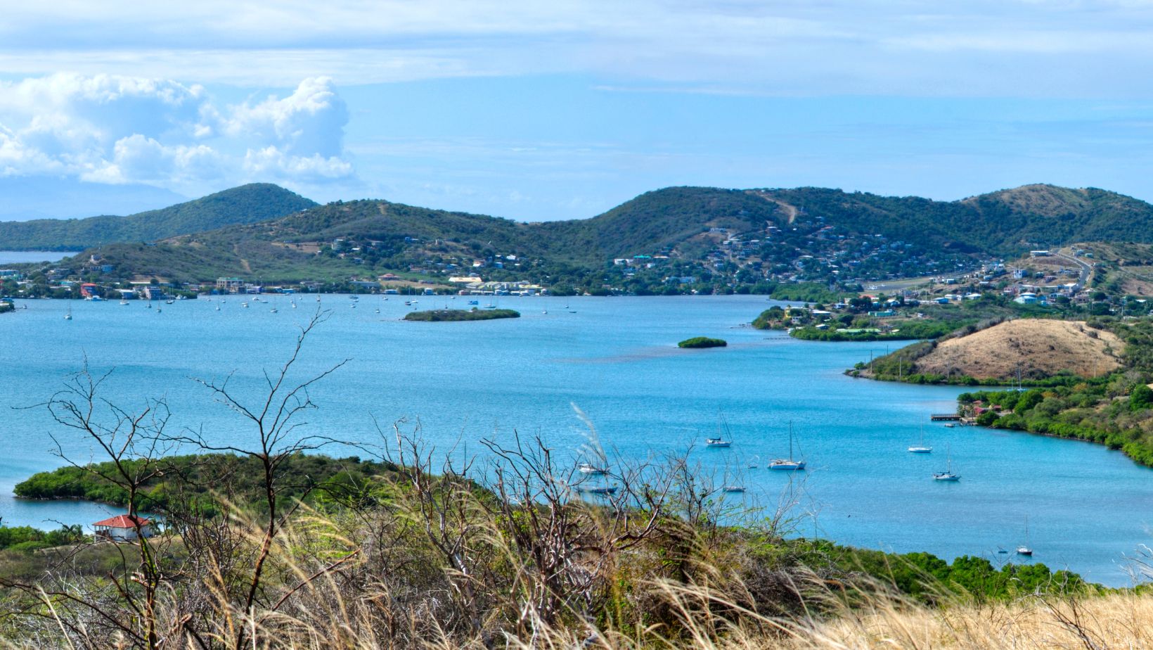
Dewey from above the hill — the only town on Culebra. Two blocks long, a hand-cranked drawbridge over the Canal de Luis Peña, and the kind of pace that makes the whole island feel like the town.
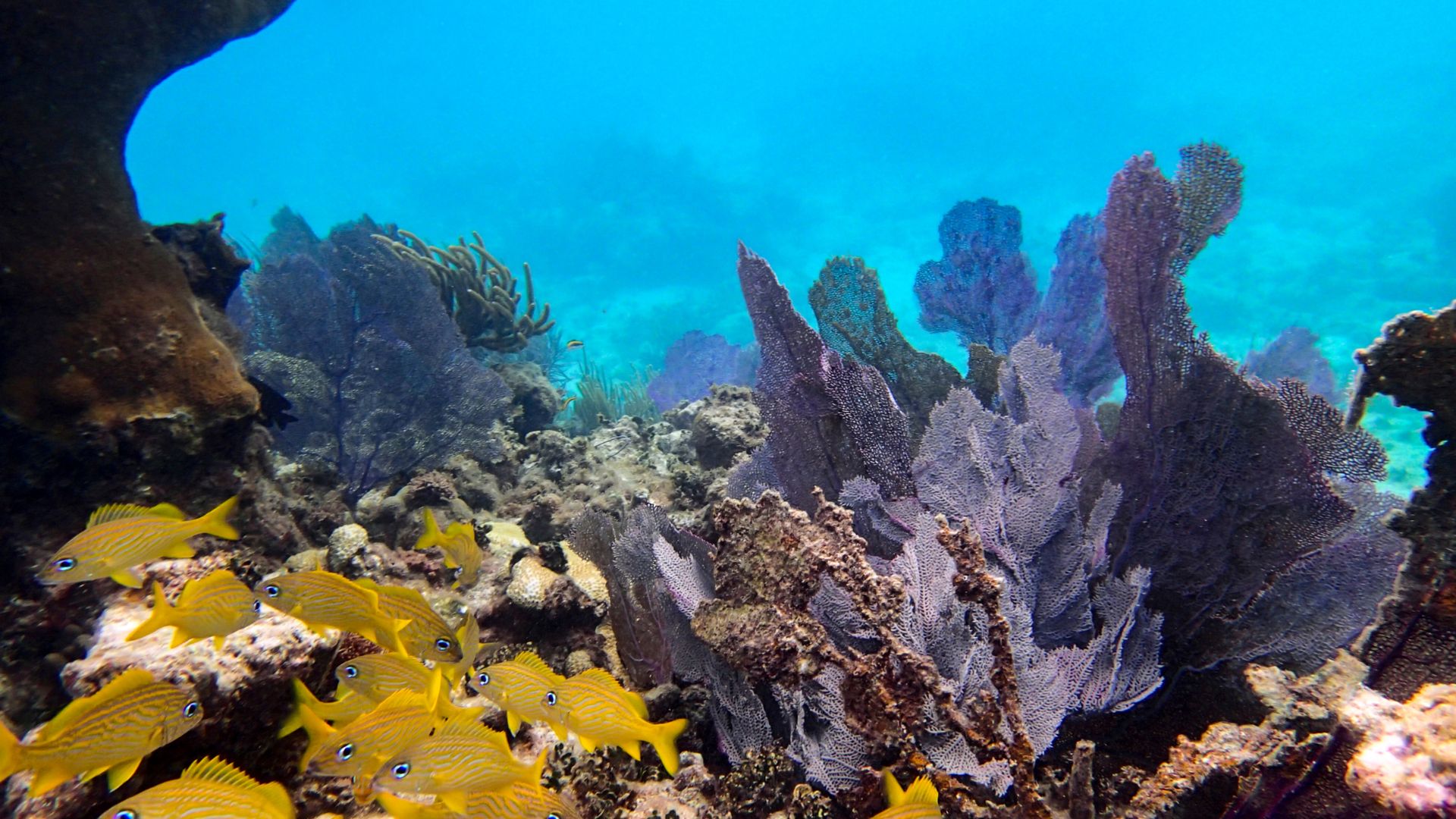
The Dakity reef snorkel — sea fans, elkhorn, schools of grunts, and clear water that runs sixty to eighty feet of visibility on a settled trade-wind day.

A short five-mile reach west takes you back across the channel to the Culebra mainland and into Bahía de Sardinas, the working anchorage on the western side of Dewey. Dewey is the only town on Culebra—locally everyone just calls it "Pueblo"—and it's small enough that you can walk the entire commercial district in fifteen minutes. Pastel-colored houses, a hand-cranked drawbridge over the Canal de Luis Peña that connects the south anchorage to the north, a couple of dive shops, a few small grocery stores, and the dinghy dock you'll tie up at when the captain runs you ashore.

Lunch is the easy headline. Mamacitas is the long-running waterfront classic—Caribbean fish, rice and beans, the harbor a few feet off the deck. Heather's Pizza is the locals' pick, just up the street from the bridge. Susie's, on the other side of the channel, runs to the upscale-but-still-island end and is worth booking ahead. Your captain knows the right call for the group. Walk the few blocks of town after lunch, pick up a t-shirt or a bottle of Pitorro from the small shops, and head back to the boat.

Mid-afternoon, your captain repositions a mile and a half south to Ensenada Dakity—a long, narrow bay tucked behind the Arrecife Dakity reef line on Culebra's south coast. The reef breaks the swell to flat, the holding is sand, and you anchor in fifteen feet of water with the reef a few hundred yards off the bow. It's the most comfortable overnight on the trip and one of the better snorkel sites on Culebra—the reef face is healthy, the visibility is consistently sixty to eighty feet, and you can roll off the swim platform in the morning straight into a wall of fish.

Dinner aboard at Dakity, sundowners on deck, and the last full night at anchor in the chain.

Day Highlights

  • Short reach across the channel back to Culebra and Dewey town.
  • Walk Dewey's two blocks—pastel houses, hand-cranked drawbridge, lunch ashore at Mamacitas, Heather's, or Susie's.
  • Reposition south to Ensenada Dakity, a glass-flat anchorage tucked behind the reef.
  • Reef snorkel off the swim platform — the most comfortable overnight on the route.
7

Day 7 of 7 · Back to St. Thomas

Cross the Channel to Magens Bay, St. Thomas

Anchorage: Magens Bay, St. Thomas
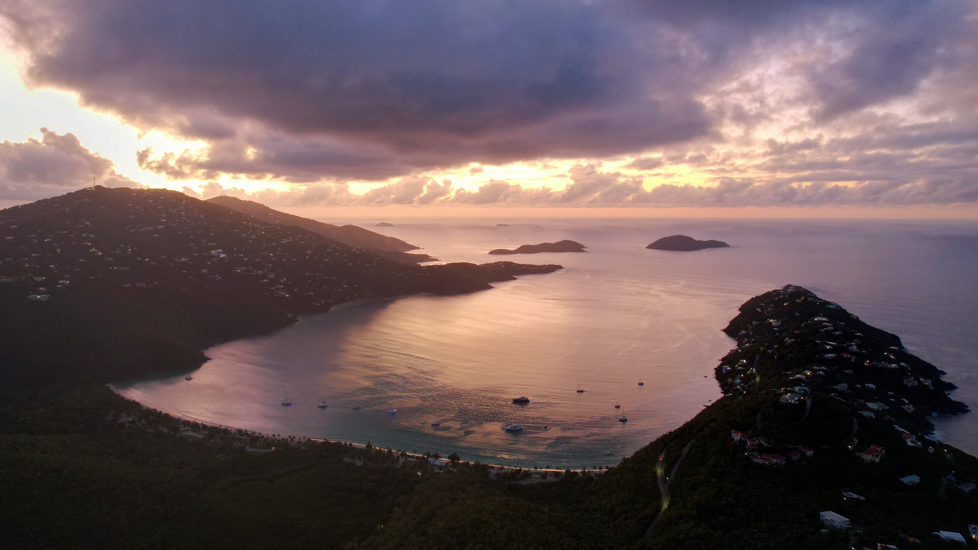
Magens Bay on the north coast of St. Thomas — a deep heart-shaped bay regularly listed in the top ten Caribbean beaches by National Geographic and Condé Nast.

The longest leg of the week and the one upwind day on the route—roughly twenty-five nautical miles east-southeast back across Vieques Sound and the channel to St. Thomas. The trades are on the nose at fifteen to twenty knots through the high season, which makes this either a long beat under canvas or a comfortable motorsail depending on the boat and the day. Your captain picks the start time around the morning's forecast and often runs the boat upwind early before the breeze builds.

By mid-afternoon you're rounding the western tip of St. Thomas and into Magens Bay on the north coast—a deep, heart-shaped bay protected on three sides by hills, with a mile-long crescent of fine white sand at the head. National Geographic and Condé Nast Traveler have both ranked Magens among the top ten beaches in the Caribbean, and even after a week of empty Spanish Virgin Islands anchorages, it's still a strong closing shot. Anchor in the western corner where the holding is best, swim ashore, walk the beach, and have a Painkiller at the open-air bar at the head of the sand.

Final chef-prepared dinner aboard tonight—a slow three or four courses on the aft deck, the boat sitting on its chain in one of the prettiest bays in the eastern Caribbean, the lights of Magens running up the hillside behind you. Nightcap on deck, the last night of the trip at anchor.

Day Highlights

  • Twenty-five-mile upwind run back across the channel to St. Thomas.
  • Anchor in Magens Bay—heart-shaped, top-ten Caribbean by National Geographic.
  • Beach walk, swim, Painkiller at the head of the bay.
  • Farewell chef-prepared dinner aboard at anchor.
8

Day 8 · Departure

Farewell Sail Around to the Marina

A last slow breakfast aboard at Magens Bay, a final swim off the back of the boat, and a short five-mile hop around the eastern tip of St. Thomas back into Yacht Haven Grande for your mid-morning departure. Your crew handles every logistic from the slip—transfer to Cyril E. King International, onward direct flights to Miami, Atlanta, Newark, JFK, Charlotte, and most major US East Coast hubs. Step off with a passport that never came out of your bag, a week of empty bays behind you, and the kind of quiet Caribbean week most charter guests don't believe still exists.

Frequently asked

Do I need a passport for the Spanish Virgin Islands?
No — Vieques and Culebra are US territory (part of Puerto Rico), the same as the USVI. US citizens just need a government-issued ID. No Customs paperwork, no clearance windows. That's the single biggest logistical advantage over a BVI charter.
How is the SVI different from the BVI?
Three big differences: (1) no passport / no Customs paperwork; (2) far less charter traffic — the SVI sees a fraction of the BVI's boats; (3) longer downwind legs and fewer beach bars — the appeal is empty anchorages and Bahía de la Chiva-class beaches, not Soggy Dollar-style party stops. The SVI is what the BVI was thirty years ago.
Why pick up in St. Thomas instead of Puerto del Rey?
Most SVI charter operators historically based out of Puerto del Rey marina on Puerto Rico, which adds a 4-hour airport-to-marina day on each end. We pick up at St. Thomas (STT) where the boats actually live, point downwind, and gain back two days of charter time.
When's the best time for a Spanish Virgin Islands charter?
December through May — same window as the BVI/USVI. Trade winds 15–20 knots, low humidity, no tropical-storm risk. The SVI is technically inside the hurricane corridor so summer (June–November) is off the table for charter. Late November and early May are excellent shoulder months.

Ready to set sail in the Spanish Virgin Islands?

Every itinerary we send is custom-tailored. Tell us your dates, the size of your group, and what you want out of your charter—we'll handle the rest.