
Crewed Itinerary · Alaska

Alaska Itinerary: Misty Fjords National Monument in 7 Nights

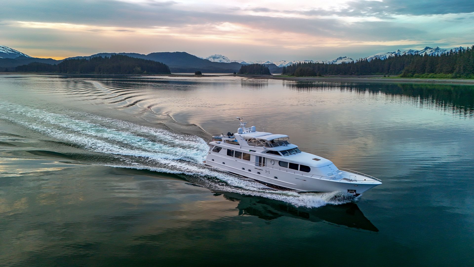
This is the southern Alaska week — a seven-night crewed motor-yacht charter built around Misty Fjords National Monument's granite-cliff geography and the bear-viewing platform at Anan Creek. The route starts in Ketchikan, runs north up Behm Canal into the heart of the monument, takes Rudyerd Bay and Punchbowl Cove's hanging-valley walls midweek, swings southeast for the Anan Creek bear day, and closes with Tongass coastal stops and a Ketchikan working-harbor evening. About two hundred and forty nautical miles end to end, no overnight passages, no permit constraints. The week trades the Glacier Bay register for fjord-density geography and a less-trafficked corner of the cruising ground.

Most groups booking this route are returning Alaska guests who want a different corner of the state on a second trip, or first-time Alaska charterers who don't want their week structured around a permit-day's calendar rigidity. Misty Fjords sits two-and-a-quarter million acres around the long Behm Canal and the side fjords that climb east from it; the geological scale is the trip's lead. Bear viewing at Anan Creek runs from mid-July through August, with both brown and black bears at the platform — Anan is one of the few places in southeast Alaska where the two species share a salmon run. The fleet's southern-Alaska yachts work out of Ketchikan and stay south of Frederick Sound for most of the season.

Duration
7 nights · flexible embark day
Base
Ketchikan (round-trip)
Plan your Alaska charter Custom-tailored to your dates and group preferences
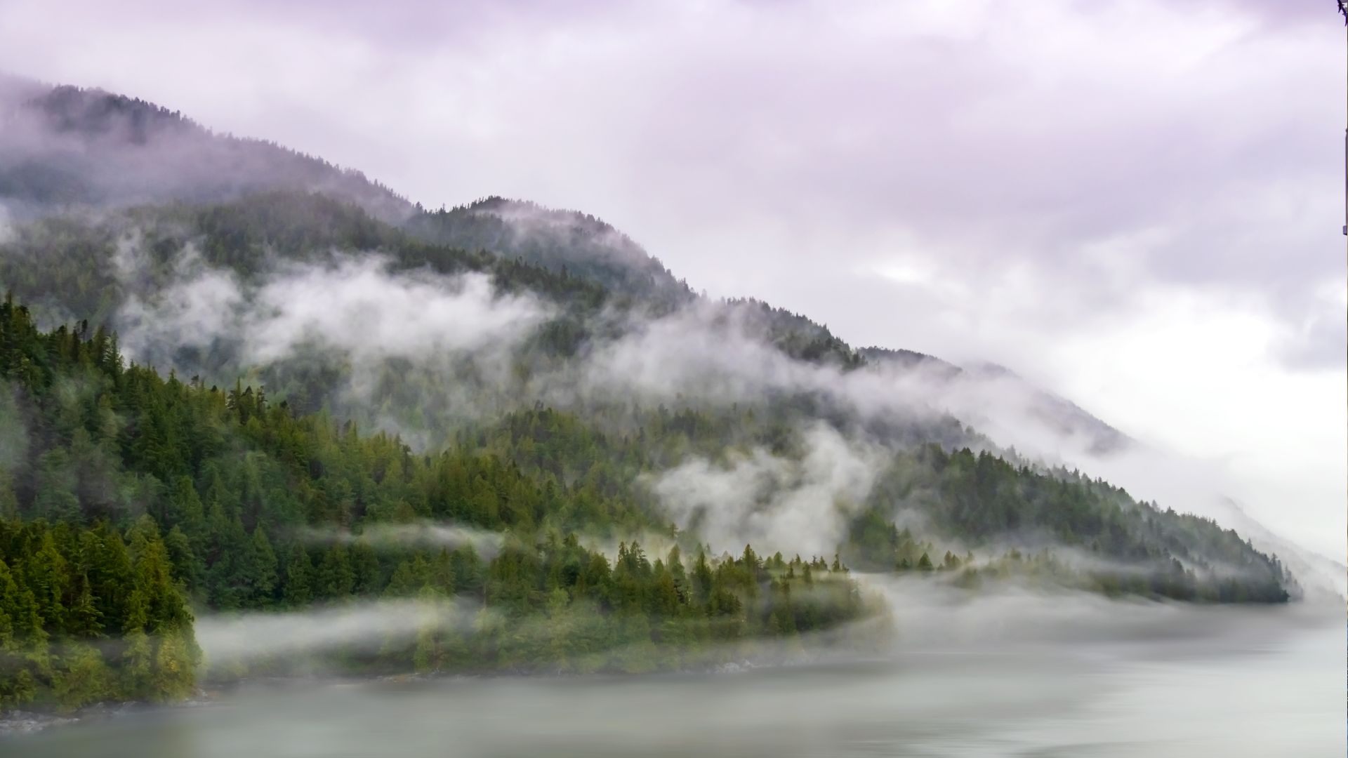
Fog laced through spruce slopes above still water in a granite-walled fjord cove.
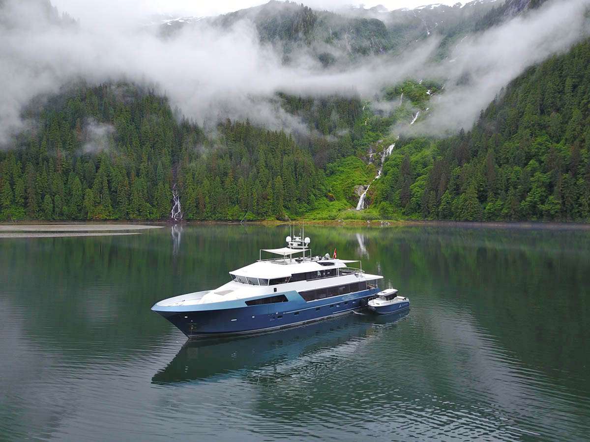
A tall waterfall dropping into a fjord cove, a tender working the water below.
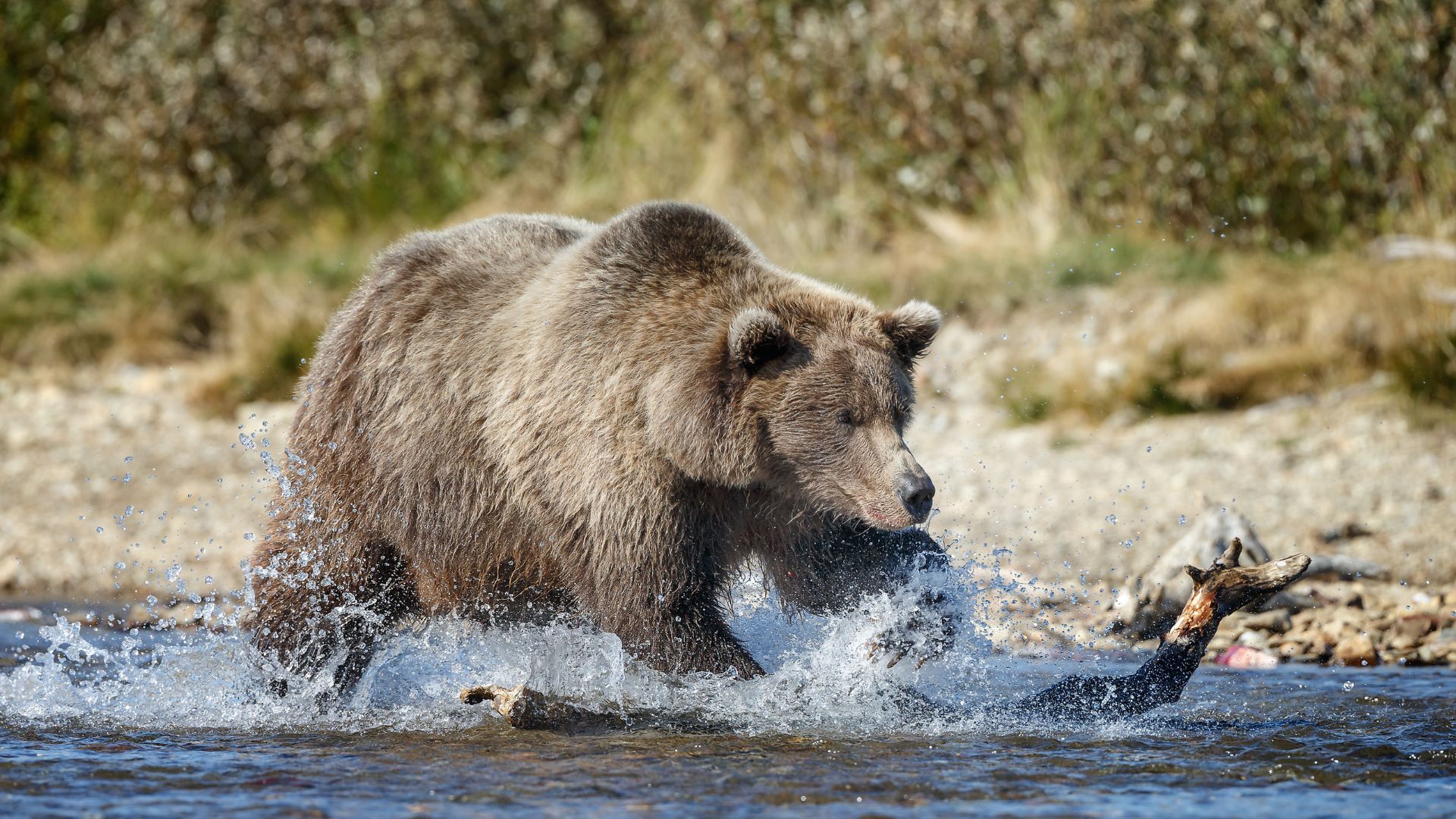
A brown bear mid-splash chasing a salmon through a shallow stream.
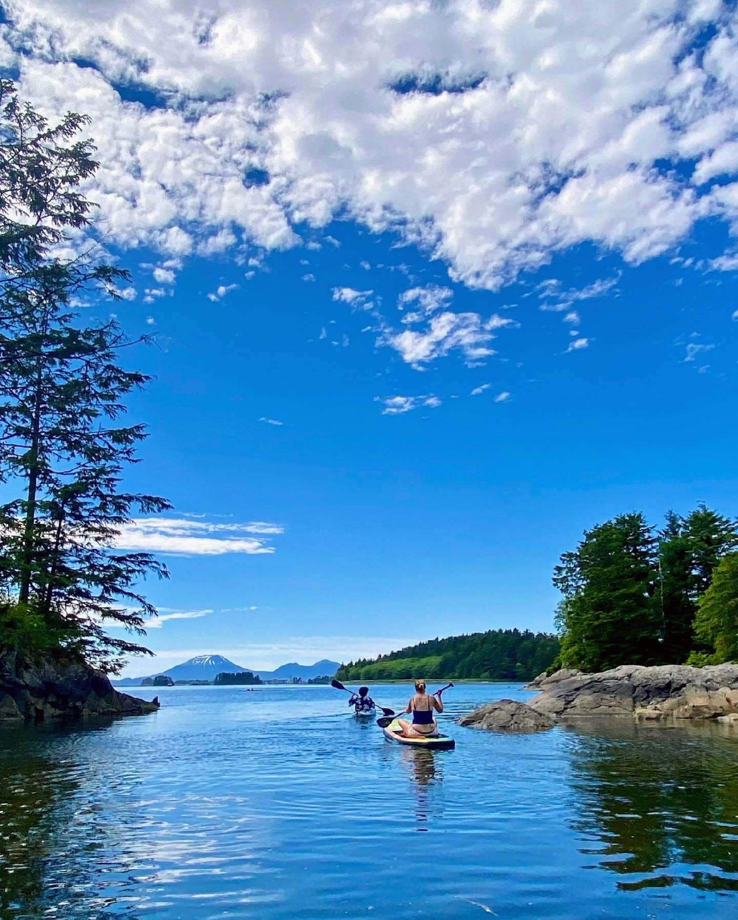
A kayak and paddleboard in a rocky, spruce-lined cove, a distant volcanic peak silhouette.

Why this is the southern Alaska charter week

This is Misty Fjords with Anan Creek attached — Ketchikan, the Behm Canal corridor, Rudyerd Bay and Punchbowl Cove inside the monument, Walker Cove at the northern end, Anan Creek's bear platform for the salmon run, and a Tongass coastal close back through Meyers Chuck and Naha Bay. Two hundred and forty nautical miles over seven nights, with the longer days running thirty to fifty nautical miles and the shorter ones inside one fjord system.

It is the right Alaska charter for guests who want the granite-fjord week without the Glacier Bay permit's date rigidity, for returning Alaska guests booking a second-trip rotation, and for groups whose home airport routing puts Ketchikan a cleaner connection than Juneau. If the brief is the marquee tidewater glaciers and the Glacier Bay name, the Inside Passage route is the stronger fit. If the brief is wildlife-density and the dates fall in May through July, the Frederick Sound route trades the geological week for marine-mammal density. The captain shapes the day-by-day around weather and the salmon-run reports at Anan Creek; the structure below is the standard frame.

1

Day 1 of 7 · Ketchikan → Behm Canal

Embark in Ketchikan and run north into Behm
Anchorage: Bell Island or Behm side cove
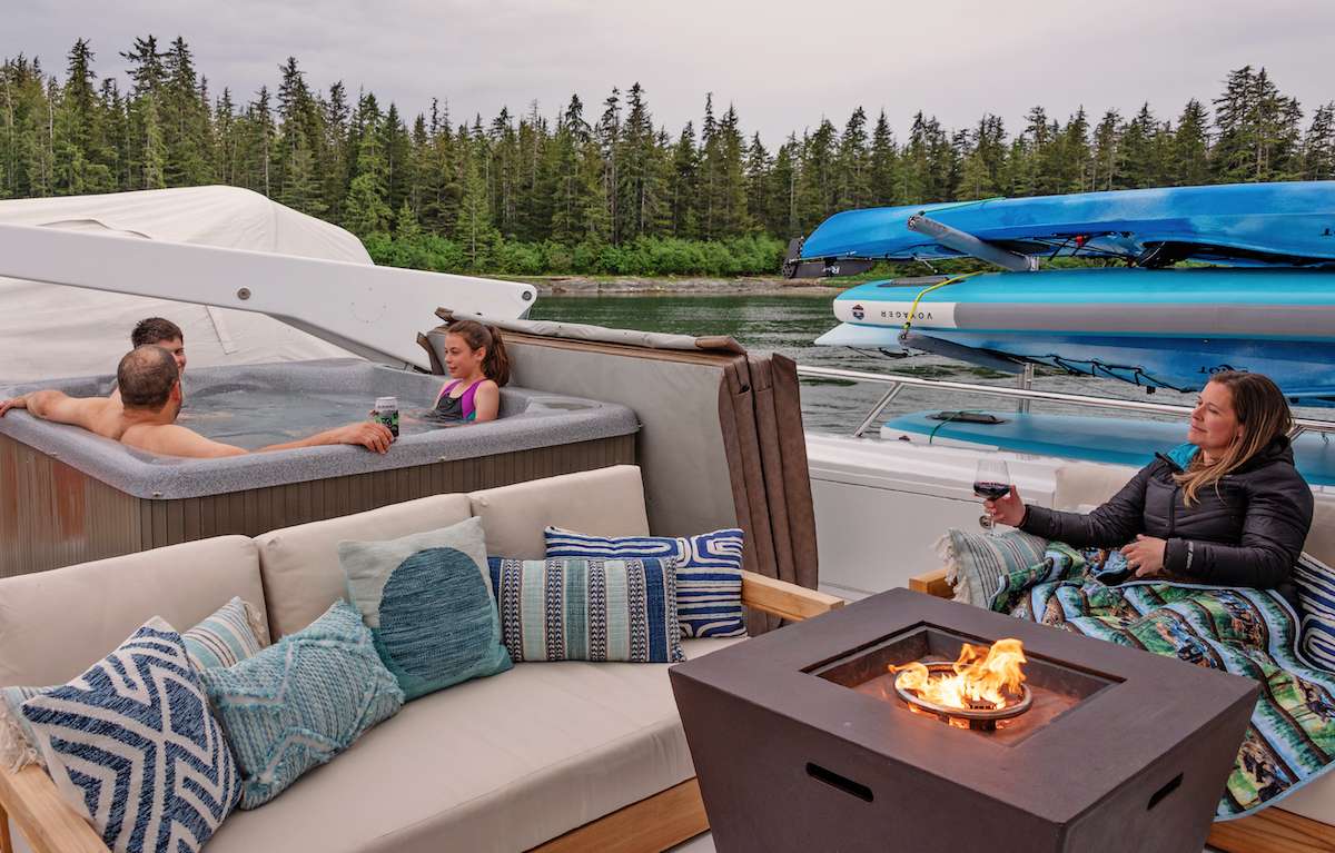
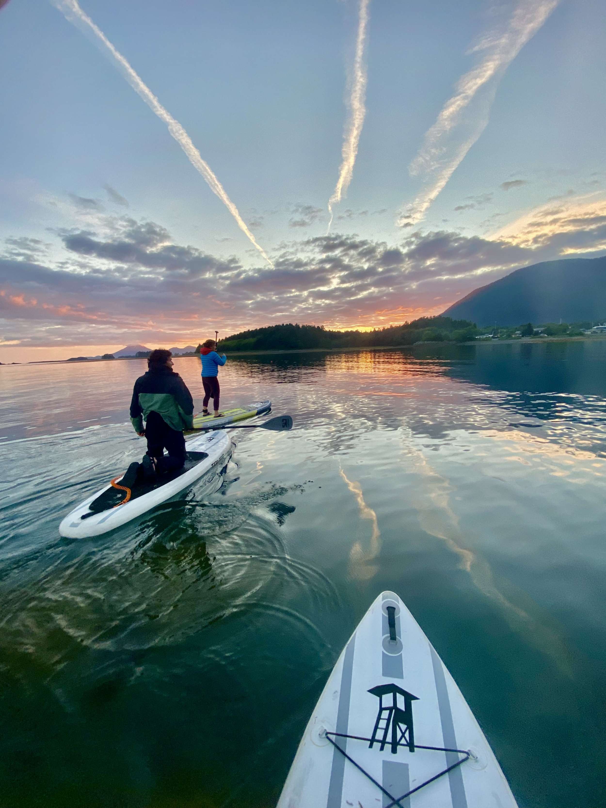
Paddleboards out at sunset on the first evening — the calm-water close to an opening day's run up the canal.

The charter begins in Ketchikan, the southernmost major city in Alaska — sometimes called the salmon capital of the world for the volume of the working commercial fishery, and the first port-of-call on most cruise ships' Inside Passage routes. Crew meet the group at Bar Harbor Marina or Thomas Basin depending on which dock the yacht is on, with hot drinks and the chart briefing once luggage is aboard. The town's grocery and provisioning runs the strongest in southern southeast Alaska; the chef typically does a final-day produce run before guests board.

The opening leg is short by design. Lines off mid-afternoon for a thirty-nautical-mile run north up Behm Canal — the 110-mile waterway that encircles Revillagigedo Island and forms the western boundary of Misty Fjords National Monument. The route stays inside protected water; the captain reads for the working-harbor cruise-ship traffic out of Ketchikan in the first ten miles, then the canal opens and the rest of the run is the open central Behm. Bell Island sits on the western side of the canal with a protected anchorage and a private fly-fishing lodge that has been operating since 1925.

First night at anchor at Bell Island or in one of the smaller western Behm coves. Dinner aboard. The northern twilight runs late — the sun sets after 9pm at solstice — and the bridge crew typically uses the opening evening to walk the chart for the next day's entry into the monument proper.

Day Highlights

  • Embarkation at Ketchikan (KTN) — Bar Harbor or Thomas Basin.
  • Thirty-nautical-mile opening run north up Behm Canal.
  • First-night anchorage at Bell Island or a western Behm cove.
  • Dinner aboard; chart walk-through for the morning's monument entry.
2

Day 2 of 7 · Monument entry day

Into Rudyerd Bay and the heart of Misty Fjords

Anchorage: Rudyerd Bay (inside the monument)
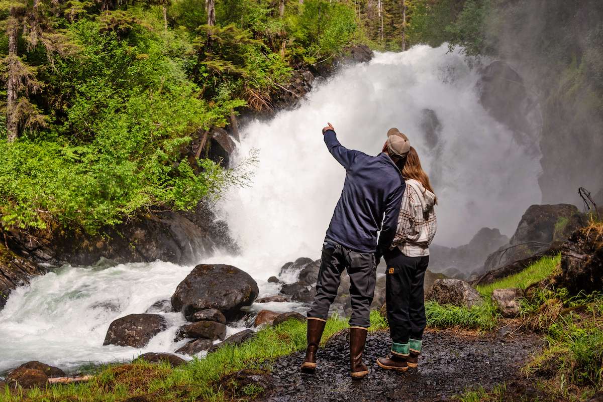
A couple in rain gear at the base of a granite-walled waterfall — the hanging-valley cascades this stretch of coastline is known for.
Waterfalls drop down a fog-draped fjord wall — the density of cascades that gives this stretch of coastline its character.

Lines off mid-morning from Bell Island for the thirty-nautical-mile run east-northeast into the western entrance of Rudyerd Bay. The route crosses Behm Canal's wider central section, passes the New Eddystone Rock (a 240-foot basalt column rising out of the canal — the remnant of an ancient volcanic plug, named by Captain George Vancouver in 1793 after a lighthouse in England), and turns east into the bay's mouth. Past the entrance the geography shifts immediately: the cliff walls climb a thousand feet straight from the waterline, the hanging-valley waterfalls open off the upper rim, and the canal traffic disappears.

Rudyerd Bay runs about thirteen nautical miles east-southeast into the heart of the monument. The route is slow by design — the captain idles the yacht through the bay's central run, reading the walls and the waterfalls as the day's main work. The bay's southern shore carries the densest waterfall run on the route — six or seven significant cascades from the upper rim, plus a dozen smaller ones, in the span of a few miles. The bay's water is clear cold green; the bottom drops to seven hundred feet in the central channel, and the shoreline-to-keel-depth transition is steep enough that the chart sounds zero shallow water along most of the run.

The yacht anchors in the inner basin at the head of the bay — protected on all sides by the cliff walls, deep enough for the yacht to swing on a long rode, and quiet enough that the saloon picks up the waterfall's white noise from a half-mile off. Tender out for a slow run along the southern shore to read the waterfalls at deck-level. Dinner aboard at anchor. Most weeks the inner basin holds the yacht and no other vessel.

Day Highlights

  • Thirty-nautical-mile run east into Rudyerd Bay's western entrance.
  • New Eddystone Rock — 240-foot basalt column at the bay's mouth.
  • Slow traverse of Rudyerd's hanging-valley waterfall run.
  • Anchorage in the protected inner basin at the bay's head.
3

Day 3 of 7 · The marquee anchorage

Punchbowl Cove and the sky-slot overnight

Anchorage: Punchbowl Cove
Fog threading through spruce slopes above dead-still water — the kind of sky-slot hush this route's marquee anchorage holds most mornings.
A kayak and paddleboard tucked into a rocky, spruce-lined cove — the close-quarters paddling this route's tighter anchorages allow.

Short hop today — fifteen nautical miles south-southeast from the head of Rudyerd Bay around the corner into Punchbowl Cove, the trip's marquee anchorage. The cove sits at the head of a side branch off the southern arm of Rudyerd; the entrance is narrow enough that a yacht running it for the first time slows to read the chart and reads the walls more than the depth sounder. Past the entrance the cove opens into a circular basin a half-mile across, with the cliff walls closing in over the cove so completely that the sky is a slot above the masthead at midday.

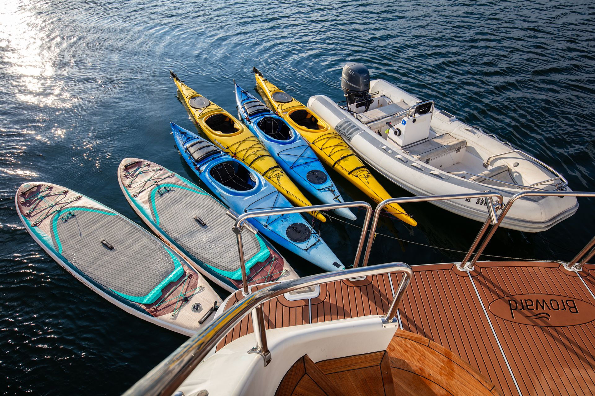
The afternoon is built around the cove. Kayaks down from the swim platform; the basin's water is calm enough that a two-hour paddle along the walls is the day's main work. The kayaks run the shoreline-to-wall transitions at close range — the perspective from the water reads the scale of the basin the way the deck of the yacht doesn't. A trail runs up the eastern wall from a beach landing on the cove's eastern shore to a small lake above the cove; the climb is a two-hour round trip and is well-maintained by the Forest Service for floatplane day-tour visitors. Most yachts skip the trail unless the group has a strong hiker contingent — the cove itself is the day's program.

Overnight at anchor in the basin. The northern twilight runs longer here than the open canal because the cliff walls hold the light against the rim; the saloon evening reads the basin in the long light until past 11pm at solstice. Dinner aboard. The cove is most weeks empty of other yachts overnight — Punchbowl is a known anchorage but the access pattern (no road, no scheduled boat service, only the floatplane day-trippers and the occasional charter yacht) keeps the traffic light.

Day Highlights

  • Fifteen-nautical-mile hop south from Rudyerd into Punchbowl Cove.
  • Sky-slot anchorage — cliff walls close over the basin overhead.
  • Half-day kayak paddle along the cove's walls.
  • Optional Forest Service trail to the lake above the cove.
4

Day 4 of 7 · Northern monument day

Walker Cove at the monument's northern reach

Anchorage: Walker Cove or Behm Canal side cove
A steep, green-walled fjord with sun breaking through — a smaller-scale corridor than the marquee anchorage the day before.

Lines off mid-morning from Punchbowl for the twenty-five-nautical-mile run north up Behm Canal toward Walker Cove. The route stays in the inner Behm — the canal's eastern shore carries the densest hanging-valley waterfall run on the canal proper, with smaller-scale cascades than Rudyerd Bay's but at closer range to the yacht's deck. The captain runs the yacht slow through the strongest waterfall section; lunch on board at slow drift.

Walker Cove sits on the eastern side of the canal at the canal's northern half — a smaller-scale marquee anchorage than Punchbowl, with the same hanging-valley geography and cliff-wall closing-in. The cove's entrance is wider than Punchbowl's; the inner basin is shallower and the holding ground is muddier. Most weeks the cove holds the yacht and no other vessel — Walker is far enough from the floatplane day-tour radius out of Ketchikan that the access pattern keeps it quieter than Punchbowl.

The afternoon runs the cove the same way Punchbowl did — kayaks down, tender ashore for a short walk on the beach landing, lunch and dinner aboard at anchor. The northern twilight stretches the saloon evening past midnight at solstice; the cove holds the light against the walls in the same way Punchbowl does. Overnight at anchor; the cove is sheltered enough that the rode runs short and the yacht swings inside the basin.

Day Highlights

  • Twenty-five-nautical-mile run north up Behm Canal.
  • Eastern-shore hanging-valley waterfall run on the canal proper.
  • Walker Cove — smaller-scale marquee anchorage at the monument's northern reach.
  • Kayak excursion and overnight at anchor in the cove.
5

Day 5 of 7 · Bear-viewing day

Anan Creek and the two-species bear platform

Anchorage: Anan anchorage (Bradfield Canal)
A brown bear mid-chase through a salmon stream — Southeast Alaska's two-species bear-viewing platforms put exactly this kind of action a boardwalk's width away.

Lines off mid-morning from Walker Cove for the fifty-five-nautical-mile run south down Behm Canal and out into Bradfield Canal to the Anan Creek anchorage. The route's longest single passage, and the day the geological-density week shifts to wildlife-density for the marquee bear stop. The route passes the southern entrance to Misty Fjords on the way out — a last look at the monument's geography from the canal before the yacht turns east into Bradfield.

Anan Creek's bear-viewing area sits a half-mile inland from the anchorage at the head of Anan Bay on the eastern shore of Bradfield Canal. The site is permit-controlled — the Forest Service caps visits at sixty people per day during the run, and the captain books the permit slot a year ahead for the dates the trip is built around. The yacht anchors in the bay a few hundred meters off the creek mouth; the tender lands at the beach, and a Forest Service guide meets the group at the trailhead for the boardwalked walk to the viewing platform.

The platform sits above the falls where the pink-salmon run stacks the fish. Both brown and black bears feed at the falls — Anan is one of the few places in southeast Alaska where the two species share a salmon stream — and the Forest Service guides explain the species' feeding patterns and the platform's distance rules through the visit. The pink run is at its peak from mid-July through mid-August. Back to the yacht for lunch and the afternoon at anchor; dinner aboard. Overnight at anchor in the bay.

Day Highlights

  • Fifty-five-nautical-mile run south from Walker into Bradfield Canal.
  • Anan Creek bear-viewing platform via Forest Service permit.
  • Brown and black bears at the same salmon run — a southeast Alaska rarity.
  • Overnight at anchor in Anan Bay; dinner aboard.
6

Day 6 of 7 · Tongass coastal day

Meyers Chuck and the Naha Bay close

Anchorage: Naha Bay
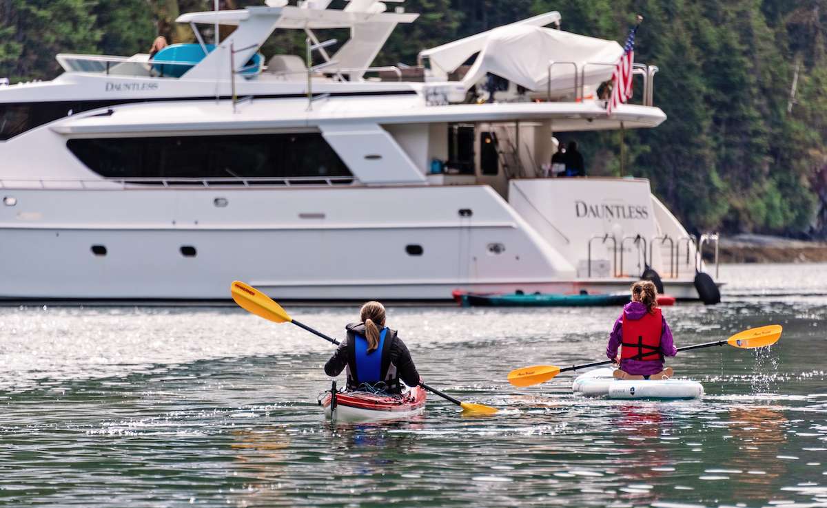
Kayakers paddle back toward the yacht along a dense stand of spruce running to the waterline — the kind of protected inner cove this route closes each day into.

Lines off mid-morning from Anan for the forty-five-nautical-mile run south-southwest down Clarence Strait toward the Cleveland Peninsula's southern tip and the small fishing village of Meyers Chuck. The route passes from Bradfield Canal back into Clarence Strait — the open central waterway between Revillagigedo and Prince of Wales Island — and runs slow through the strait's whale-watching windows. Clarence Strait carries summer humpback density and the occasional orca pod; the bridge watches for surface activity on the way.

Meyers Chuck sits at the south end of the Cleveland Peninsula, with no road in and a community of about a dozen year-round residents. The village's single dock holds a half-dozen yachts on a busy day; the post office, gallery, and bakery (Cassy's, which runs on the seasonal schedule of the salmon fleet) are the town's three commercial concerns. The yacht ties to the public dock for a short walk ashore — about an hour is the typical visit — and lines off mid-afternoon for the second leg of the day.

The closing run is south through the strait into the upper end of Behm Canal and west around Revillagigedo's northwestern shore into Naha Bay. Naha is a protected inner cove twenty miles north of Ketchikan with a Forest Service trail from the beach to a small lake above the bay (about a mile each way, well-maintained, with bear-warning signage in the late-summer salmon-run weeks). The afternoon settles into the cove — kayaks down, the chef working on the closing dinner, the captain reading the chart for tomorrow's run back to Ketchikan. Overnight at anchor.

Day Highlights

  • Forty-five-nautical-mile run south-southwest down Clarence Strait.
  • Meyers Chuck — the small fishing village with no road in.
  • Afternoon move into Naha Bay's protected inner cove.
  • Forest Service trail to the lake above the bay; closing afternoon at anchor.
7

Day 7 of 7 · Return close

The Tongass Narrows close and a working-harbor evening in Ketchikan

Anchorage: Bar Harbor or Thomas Basin
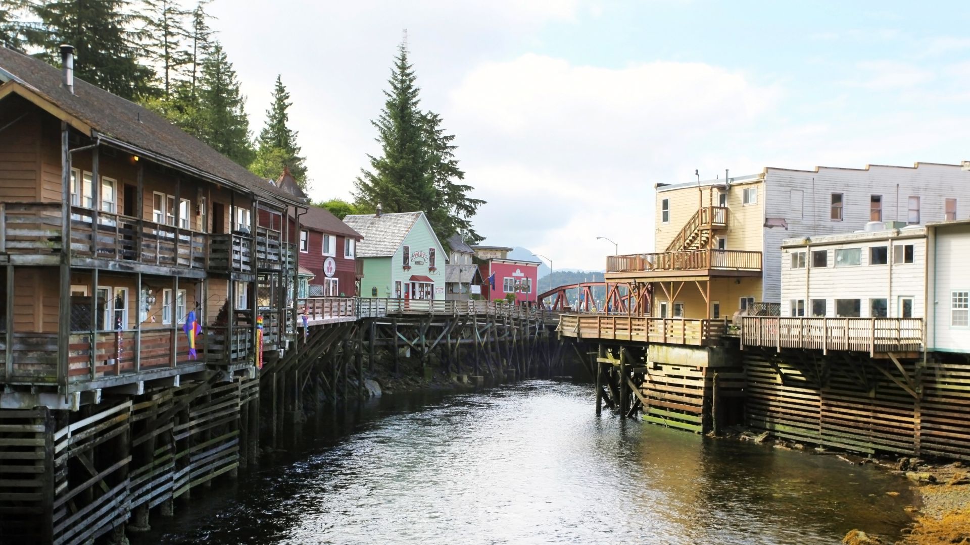
Ketchikan's Creek Street — the historic boardwalk on pilings over the creek, the closing-evening stop ashore before disembarkation.

The final cruising day. Lines off mid-morning from Naha for the twenty-five-nautical-mile run south down Behm Canal's western side and into Tongass Narrows — the waterway between Revillagigedo and Gravina Islands, and Ketchikan's working harbor approach. The Narrows is one of the busiest floatplane waters in the world; the bridge slows the yacht for the approach and reads the floatplane traffic on the radio. Ketchikan's commercial fishing fleet runs in and out of the Narrows on the same water; the working-harbor density is the highest the trip has seen.

The yacht ties at Bar Harbor Marina or Thomas Basin in the early afternoon depending on which dock the yacht is on. The closing afternoon ashore in Ketchikan is part of the trip's program rather than the wind-down — Creek Street's historic boardwalk on pilings over Ketchikan Creek runs the salmon run underneath it in late summer, and the Totem Heritage Center on the upper edge of the town holds nineteenth-century Tlingit and Haida totems salvaged from village sites along the southern Tongass. Dinner ashore at Bar Harbor Restaurant on the marina or Annabelle's Famous Keg & Chowder House on the downtown waterfront, depending on the captain's call.

Last night aboard or ashore depending on the morning's departure logistics. Most charters keep the group aboard for the closing night; the saloon evening runs the trip's wildlife log over coffee, and the chef plates the closing dinner with the week's catch in mind.

Day Highlights

  • Twenty-five-nautical-mile run south back to Ketchikan.
  • Tongass Narrows approach — the working-harbor floatplane density.
  • Tie at Bar Harbor or Thomas Basin for the afternoon ashore.
  • Ketchikan's Creek Street and Totem Heritage Center; closing dinner.
8

Day 8 · Departure

Disembarkation and onward transfers

Breakfast aboard, luggage off, and a straightforward transfer to KTN. Ketchikan International Airport sits on Gravina Island across the Tongass Narrows from the city — the airport ferry runs on a schedule timed to outbound flights, a five-minute crossing from the marina-side terminal to the airport. The crew handles the move and the ferry crossing; pre-booked private transfers handle any flights with restricted timing. Direct flights to Seattle (SEA) run multiple times daily on Alaska Airlines; from Seattle onward connections to most US hubs are single-flight days.

The southern Alaska week ends the way it usually reads best — drier than guests feared and quieter than guests expected. Most groups that run this route come back for the Inside Passage and Glacier Bay charter on a subsequent trip; the captain typically walks through the second-charter option with the group before the dispersal at the marina.

Frequently asked

Why isn't Misty Fjords more famous than Glacier Bay?
Mostly accident of marketing. Misty Fjords National Monument was designated in 1978 and sits two-and-a-quarter million acres of granite-cliff fjord, hanging-valley waterfalls, and cold-water rainforest — the same kind of geological-density tableau the marquee Norwegian fjords run, at three to four times the scale. The reason it isn't a household name the way Glacier Bay is comes down to access patterns: Glacier Bay built into the cruise-ship circuit in the 1970s and 80s and became part of the standard Inside Passage marketing; Misty Fjords stayed accessible only by yacht or floatplane and never developed the visitor-volume infrastructure. The geography is genuinely competitive with Glacier Bay — different (granite walls and waterfalls versus tidewater glaciers) but at the same scale. The trade-off is no permit and lower booking pressure.
Do we still see whales and bears on this route?
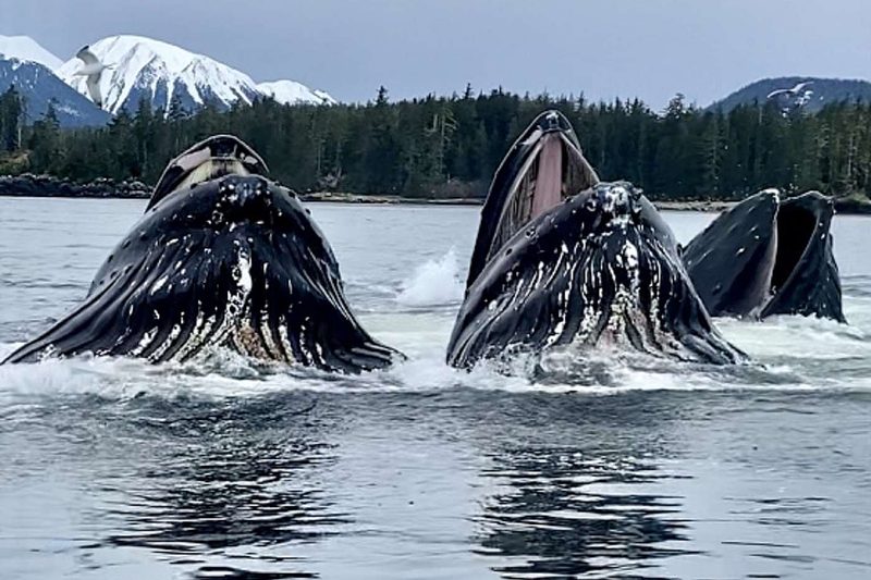
Yes to both. Humpback whales are routinely visible in the Inside Passage on the route's transit days — Behm Canal's southern entrance and Clarence Strait both run reliable summer humpback density, and most weeks log multiple sightings on transit windows. The route's marquee wildlife day is Anan Creek's bear-viewing platform, where both brown and black bears feed on the pink salmon run from mid-July through August. Anan is one of the few places in southeast Alaska where the two species share a salmon stream — most other bear-viewing stops are one species or the other. Beyond the marquee animals: bald eagles ubiquitous from Ketchikan north, harbor seals on the floe ice in the higher fjords, sometimes orcas in Clarence Strait, mountain goats high on the granite walls inside the monument.
What's the difference between this and the Inside Passage / Frederick Sound routes?
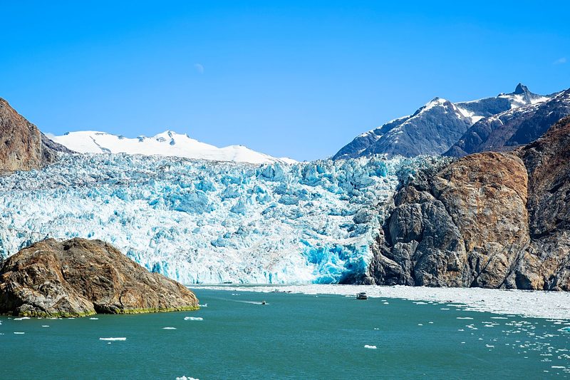
Geography, not register. The Inside Passage charter is built around the Glacier Bay permit and Tracy Arm's South Sawyer face — tidewater glaciers and the park itself, in northern southeast Alaska from Juneau. Frederick Sound is built around bubble-net feeding density and brown bears at Pavlof Harbor, in the center of the range from Petersburg. Misty Fjords is the southern week — granite-fjord geography, hanging-valley waterfalls, the long Behm Canal corridor, and the bear-viewing platform at Anan Creek, all from Ketchikan. Each route has a defining day; the right one depends on which day the group is most after. Repeat Alaska guests usually do two or three of the routes across separate seasons.
What's the boat actually doing while we're sitting in front of waterfalls all day?
The yacht is the only access. Misty Fjords has no road network, no public dock infrastructure at the marquee anchorages, and no scheduled boat service into the fjord system. The two competing access modes are the floatplane tour from Ketchikan (forty-five minutes round-trip, six guests per plane, no anchorage) and the day-tour catamaran from Ketchikan (six-hour round-trip, fifty guests, two anchorage stops). The yacht delivers the same geography at deck-level over multiple days, with overnight anchorages inside the monument that neither alternative supports. Punchbowl Cove's overnight is the trip's marquee anchorage — cliff walls close over the cove so completely that the sky is a slot above the masthead. The boat is the destination on this route the way it is in the Bahamas: the access mechanism is the trip.
When in the summer is the route strongest?
Mid-July through mid-August is the strongest window. Anan Creek's pink-salmon run starts in mid-July and runs through August, which is when the bear-viewing peaks. Misty Fjords' geological-density days work any time the cruising ground is open — the granite walls and waterfalls don't follow a wildlife calendar — but the southern Alaska weather pattern stays driest in the back half of summer. June trips have stronger wildlife on the transit days (Behm Canal humpbacks at peak), longer daylight, and lower booking pressure, with the trade-off that Anan's bear run hasn't fully started. Late August into early September shifts the trip toward fall colors and lower rates, with the trade-off that Anan's run is winding down. The captain matches the week to the trip's lead: bears first means mid-July through mid-August; daylight first means mid-June through mid-July.
How wet does it actually get? Misty Fjords sounds wet.
Ketchikan averages about a hundred and thirty inches of rain a year — the highest in southeast Alaska — and the inner fjords of Misty Fjords run a little higher. The name is honest. A week without rain is unusual; a week without sunshine is also unusual. The yacht is heated, the salon is dry, and the crew has hot showers and dry towels waiting after every shore excursion. The pack list is closer to Patagonia than to a Mediterranean charter: waterproof breathable shell jacket and pants, synthetic or merino base layers, fleece mid-layer, knit hat and gloves, polarized sunglasses for the waterfall glare, and either tall waterproof boots or sturdy hiking shoes with gaiters. The yachts keep loaner inventory of XtraTuf boots and raingear onboard. The fjords are most beautiful when the rain is on — the hanging-valley waterfalls run hardest after a heavy rain, and the cliff walls take on the slate-and-moss color that gives the monument its name.

Ready to set sail through Misty Fjords National Monument and the southern Tongass?

Every itinerary we send is custom-tailored. Tell us your dates, the size of your group, and what you want out of your charter—we'll handle the rest.